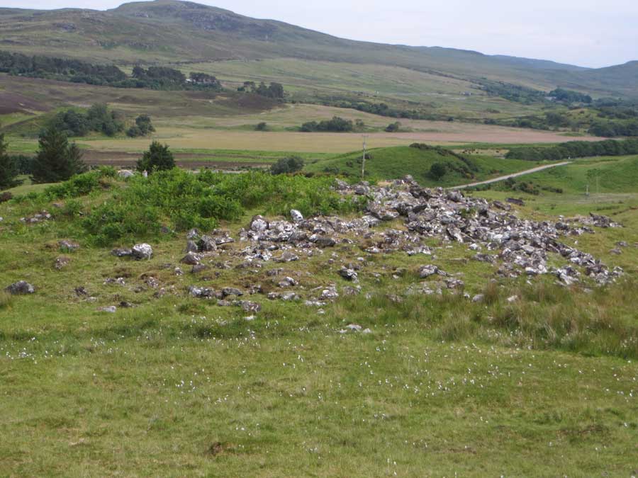
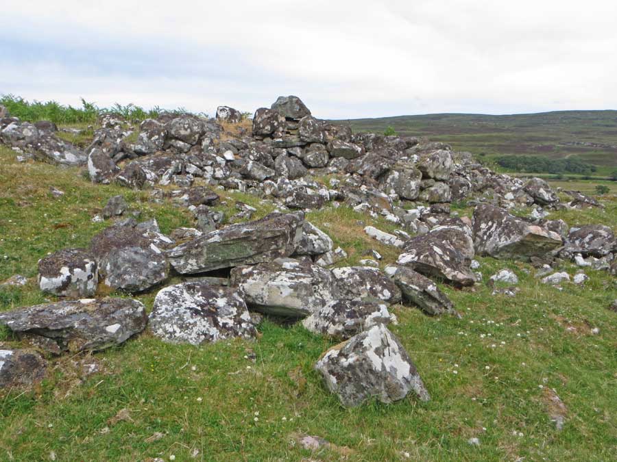
Canmore dramatically describes Dun Carnachaidh as: 'The remains of a broch on a cliff overlooking the river valley'!
What cliff?
There's no cliff within sight, and the broch stands just 90 metres west of the Strathnaver road up a steepish grassy hillside.
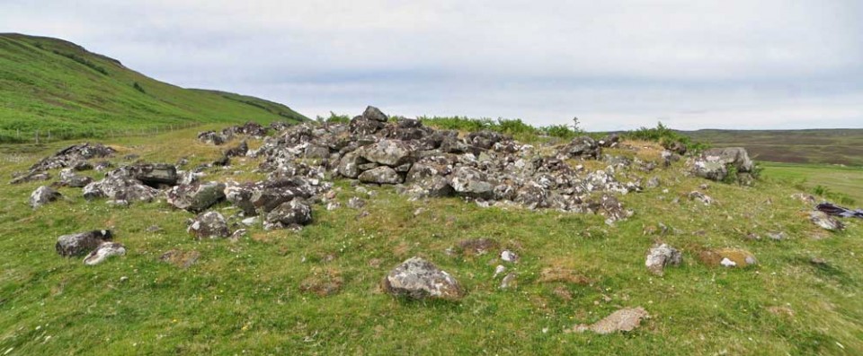
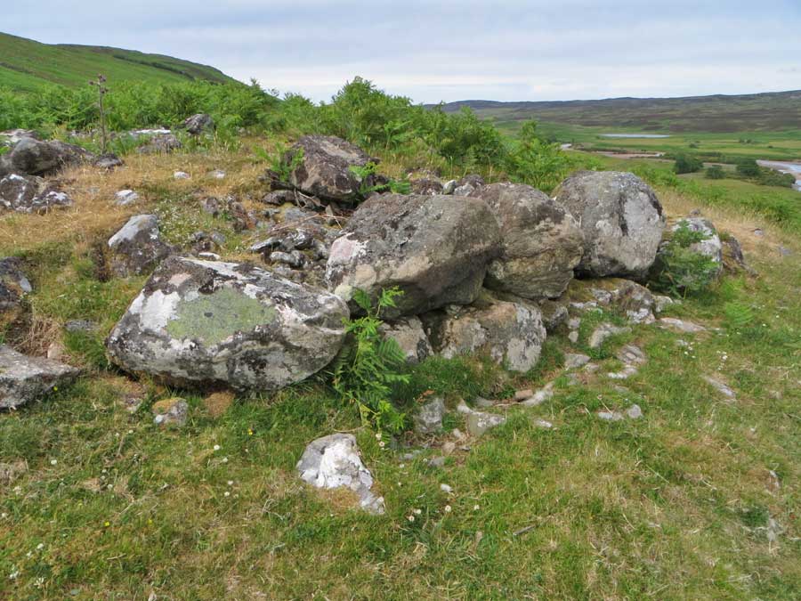
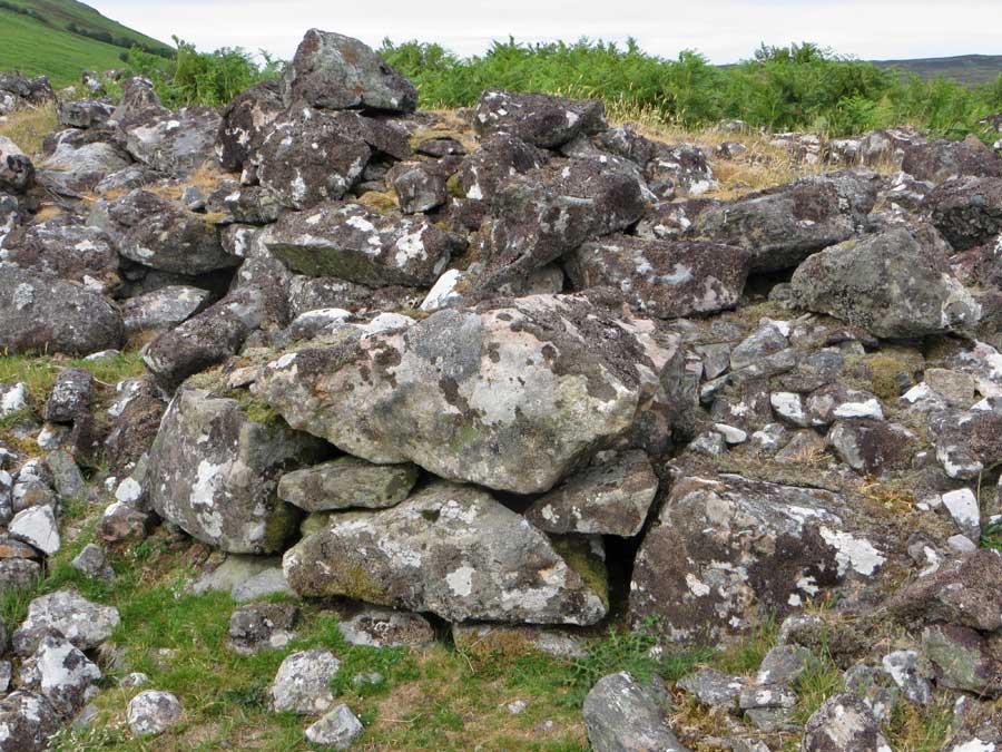
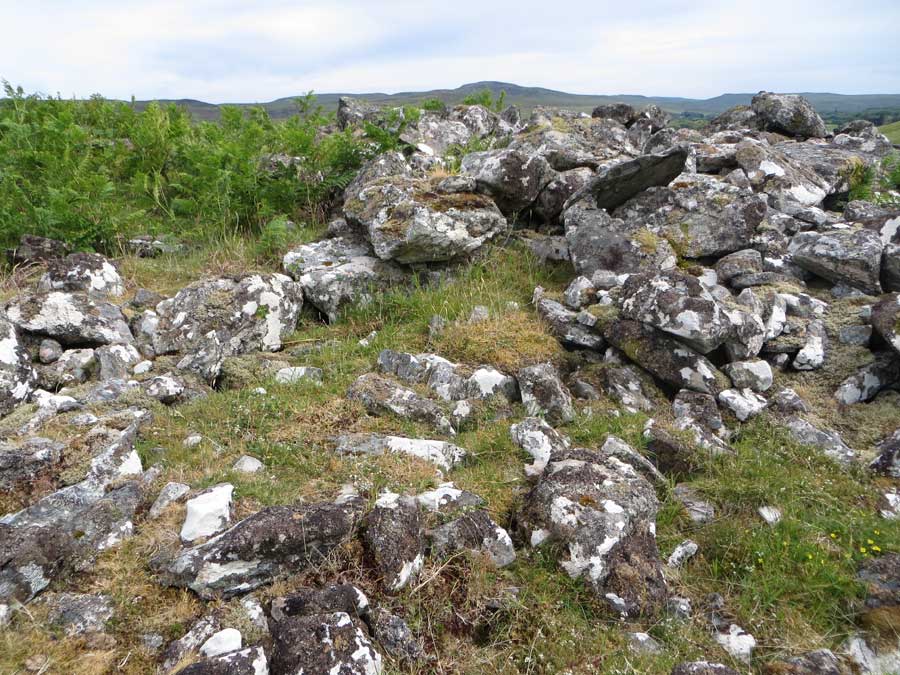
This broch cannot be seen from the road as it sits on a level shelf about 25 metres up the hillside. It takes but a few minutes to reach it. It is extremely ruinous with few major features extant. The foundation course can be followed intermittently around the structure and there are some impressively large stones of the 2nd course around the southeastern arc. Amongst the tumble to the west of the broch is what appears to be the remains of an intra-mural gallery.
Access to Dun Carnachaidh is straightforward as there is parking in a bay beside a cattle grid on the road just 1½ kilometres north of Carnachy. The fence at the roadside consists only of wire strands which it is easy to wriggle between (no barbed stuff).

 Posted by LesHamilton