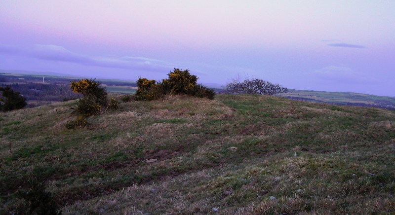
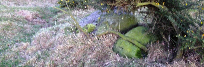
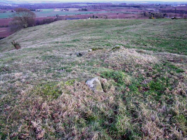
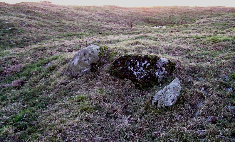
Dumbarrow provided its builders with three sides of natural defences. The north side is very steep and during our visit being attacked by marauding sheep, the south slightly less steep and the west, once again slightly less steep. The west also appears to have an entrance not noted by Canmore. However the main entrance is in the east with facing stones clearly marking the doorway. Once again I disagree with Canmore. I think the east had defences natural or man made. The farmer at nearby Dumbarrow Farm confirmed that many dry stane dykes in the area had been built from stones from the dun and nearby long gone cairns.
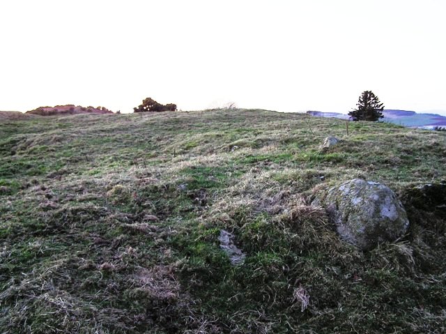
One thing that cannot be disputed is the impressive views in all areas especially the snow covered mountains to the west glistening in the distance. Myths of King Nechtan (see folklore) and famous battles surround this area. Certainly at the time when we visited, fast approaching darkness, the dun had an atmosphere of otherworldliness.
From Friockheim we headed south on the A933, then the B961 west, take the minor road north west at the first crossroads, go over Dumbarrow bridge, past Dumbarrow Farm and take the road north east to Hillkirk. We were given permission by the farmer to park who told us about the destruction of nearby cairns and the removal of stones during the 1800s. The dun, in its wonderful location, is to the north east of the farm buildings.
Anyway, some threads are so bright that they have to be picked up. This is the case with King Nechtan, whose name is perhaps found in Dunnichen (‘the fort of Nechtan’) and the English name for the battle where the Northumbrians were defeated by the Picts nearby, Nechtansmere. Before we consider which Nechtan Dunnichen is named after, there is the matter of confirming this as the place of the battle in 685 AD. To the Northumbrians the site of their national disaster was called Nechtan’s Mere, signifying the swamp or shallow lake in the shadow of Dun Nechtan. But the Welsh, who spoke a very similar language to the Picts, called the body of water Llyn Garan, the Pool of Herons. Was this the original name of the place or did it somehow have two names? (The Irish, meanwhile called it the battle of Dun Nechtan.) It would seem to cast a fragment of doubt over the identification of Dunnichen as the battle site. In fact Dunnichen was not positively identified as the place of the conflict until the connection was made by George Chalmers in his Caledonia in 1807. Chalmers pointed out that the ‘eminence’ on the south side of Dunnichen Hill, still visible in his day and known as Cashili or Castle Hill, must be the ‘fortress of Nechtan’. Chalmers also speculated that the neighbouring hill of Dumbarrow, ‘the hill of the barrow’, signifying notable burials there (Caledonia, I, 155.)
[Note also the King's Well on the east side of Dumbarrow Hill.]
Angus Folklore : In Search of King Nechtan in Angus and Elsewhere