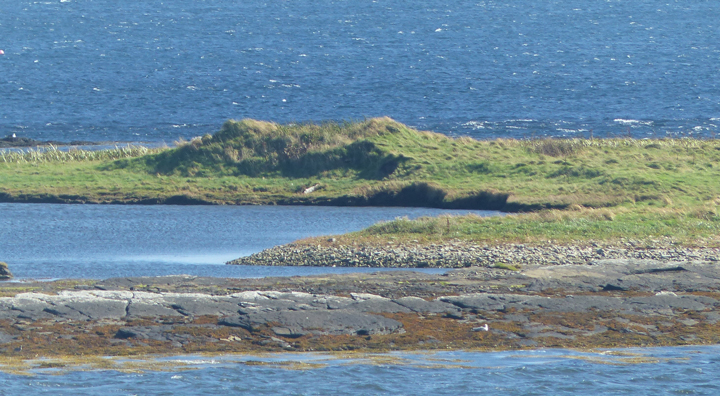
One day I manaaged to walk from the pier on Rousay as far as Scockness. After navigating a field gate I followed the irregular shoreline to reach one of those enigmatic traditional 'Picts underground houses', which sits on a spit of land between Mae Sand and a tidal pond. From my visit it looks like as if it has been excavated at least once, with a slight hollow on the top and the pond-side rather too regular for simple erosion to my mind, and I fondly imagine the removal of a rectangular feature.
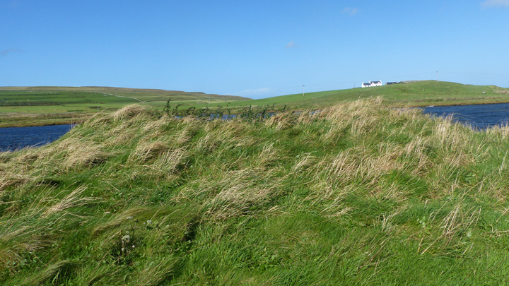
On the other side of the hill, by the N end of the Loch of Scockness, and only seperated from the sea by South Sand storm beach, is the Taft o' Faraclett Broch excavated in 1857. And up on the hill at Scockness Farm in 1994 an excavator hole showed that the chapel and burial ground had been built on a settlement mound also probably Iron Age. The Yetnasteeen standing stone is on the opposite hillside, a hill topped by the Faraclett mound that may be simply 'natural'.
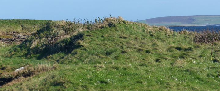
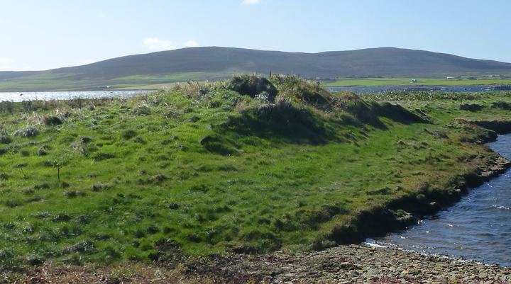
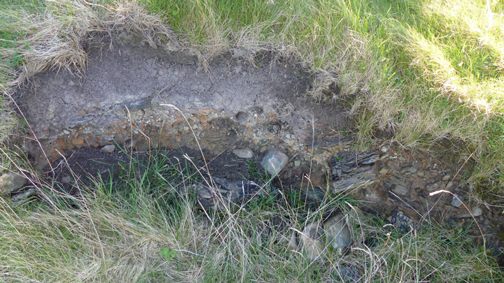
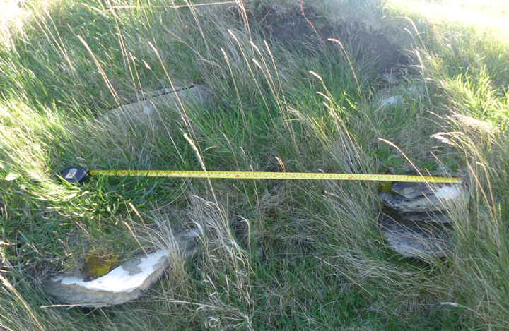
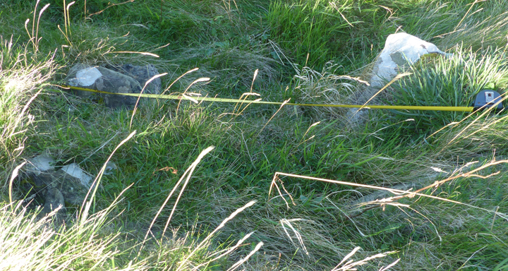
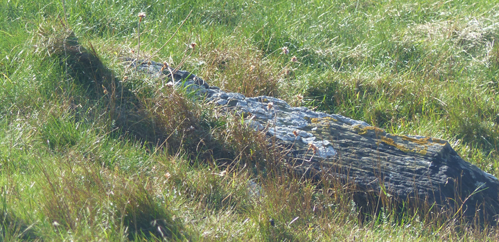
Only the south side of RCAHMS record no. HY45SE 2, a grass-covered mound of gravel and small stones, survives due to erosion at the N and W part. It is 1.3m high and 12.5m E/W by 8m, thought not large enough for a broch so either a settlement or perhaps what's left of a cairn. Not a burnt mound they believe, owing to the absence of burnt material.