The Modern Antiquarian. Stone Circles, Ancient Sites, Neolithic Monuments, Ancient Monuments, Prehistoric Sites, Megalithic MysteriesThe Modern Antiquarian


Maryton

Cairn(s)

<b>Maryton</b>Posted by drewbhoyImage © drew/amj
Nearest Town:Montrose (5km NE)
OS Ref (GB):   NO68165556 / Sheet: 54
Latitude:56° 41' 26.41" N
Longitude:   2° 31' 11.57" W

Added by drewbhoy


Discussion Topics0 discussions
Start a topic


Show map   (inline Google Map)

Images (click to view fullsize)

Add an image Add an image
<b>Maryton</b>Posted by drewbhoy <b>Maryton</b>Posted by drewbhoy <b>Maryton</b>Posted by drewbhoy <b>Maryton</b>Posted by drewbhoy <b>Maryton</b>Posted by drewbhoy <b>Maryton</b>Posted by drewbhoy <b>Maryton</b>Posted by drewbhoy <b>Maryton</b>Posted by drewbhoy

Fieldnotes

Add fieldnotes Add fieldnotes
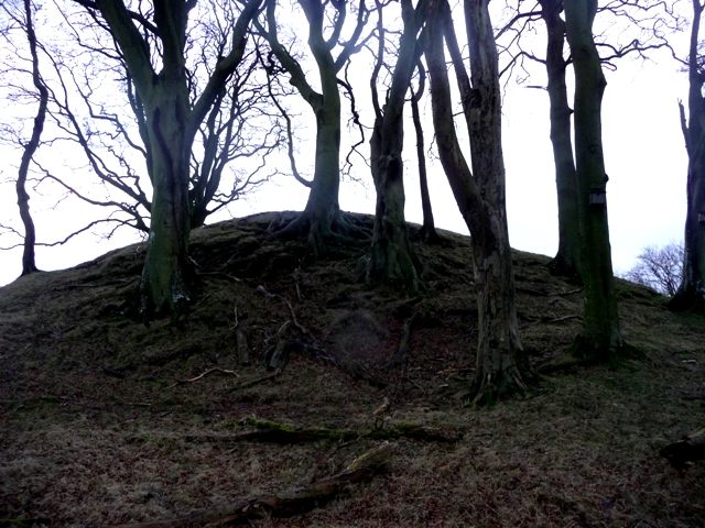
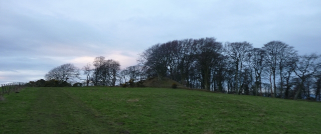
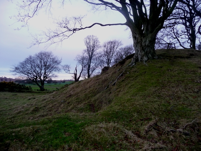
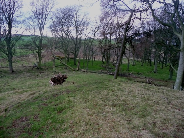
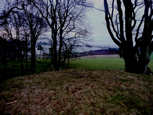
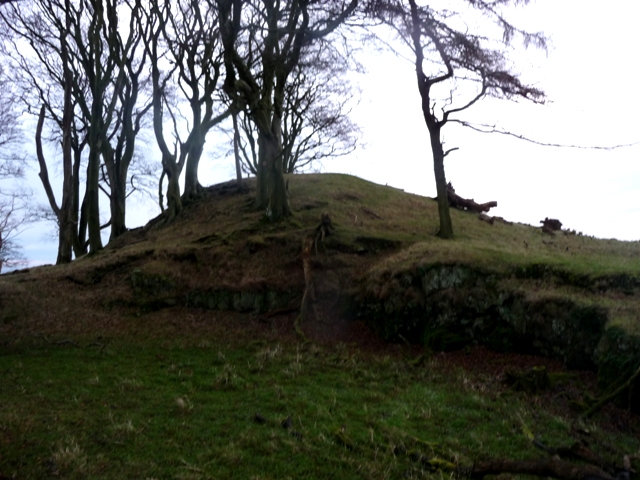
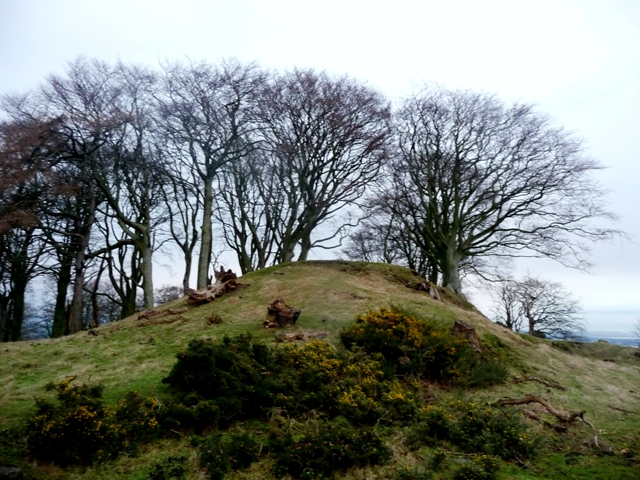
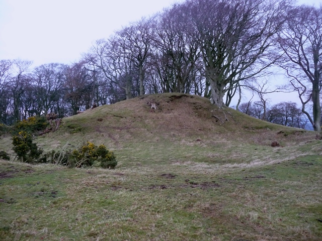
At 35 meters wide and 3 meters tall I would have liked to see how this place stood originally. Much damage has been done to east and south sides but it still is an impressive place. The trees seem to add to status and age here. Neolithic discoveries prove that this is a very old site. Built to dominate the skyline it overlooks the Montrose (River South Esk runs into here) Basin and Montrose but can't really be seen because of the trees. However a fantastic place to build a cairn with excellent all round views, to the east the North Sea and the west has the Grampians/Cairngorms. So a significant place for a significant feature.

South of Montrose take the A934 west and park at the war memorial near Maryton Farm. Walk up the minor road in front, then after the first corner go over the gate and climb westwards. The cairn is at the top of the hill westwards.

Visited 30/12/2014.
drewbhoy Posted by drewbhoy
31st December 2014ce