This site is of disputed antiquity. If you have any information that could help clarify this site's authenticity, please post below or leave a post in the forum.
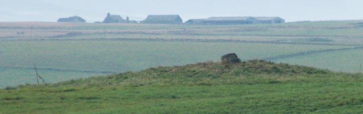
Appears as Unyatank on the 1st 25" map, which sounds the more likely name. Even on 2nd 25" it is Unyatauk not Unyatuak. Only seen it from the road, but there appear to be two similar rises 'behind' this mound
On my epic trek around Shapinsay I notice a site enigmatically labelled a 'mound' on the OS map. With the sun beating down, and hardly a breeze in the air, I really can't pass up the chance to visit such a nearby site.
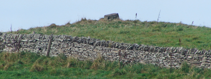
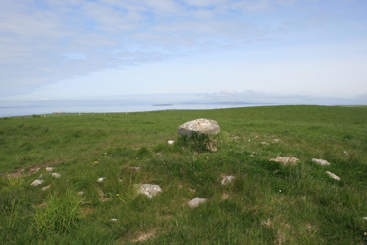
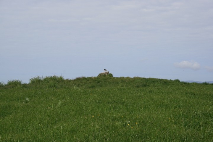
The mound is visible from the road, in a field just behind the house of Bonnyhill. An open gate into a pasture field of long grass allows me tramp up the low rise toward the mound. An Oystercatcher is perched atop the low boulder which is visible on the crown of the mound, but soon takes flight and angrily wheels overhead pipping at me for disturbing his perch.
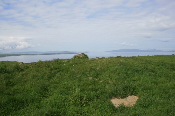
Canmore describes the site as a circular mound, mostly composed of earth, and likely a burial mound, as the situation is a good one for a barrow, although there is no record of anything having been found there. The cairn material is believed to be more modern. It does feel like it should be a cairn, sited on a prominent raised area, and with stunning views out over the bay, but something here just feels a little mysterious.
Worth a visit if you are passing, especially when the fine weather lets you appreciate the views from the mound, and to ponder what this place once was.