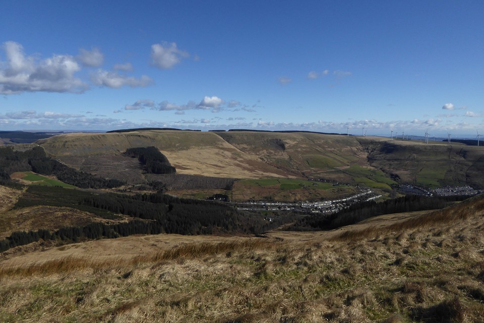
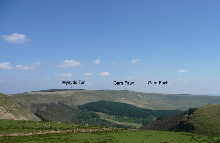
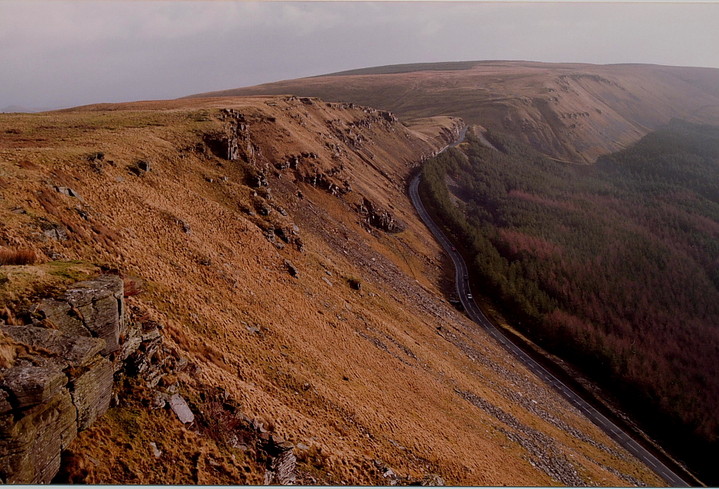
There are two summit cairns marked on the OS, both within the 535m contour on the very top of the hill where they would have commanded extensive views in all directions. No longer, however. Mynydd Ton ("Wasteland Mountain") is now cloaked in dense conifer forest, and the summit is no longer open to the elements (it is still open to walkers though).
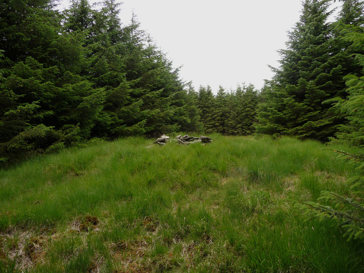
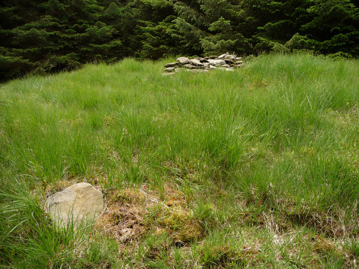
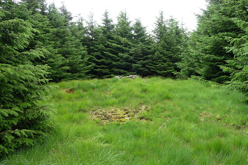
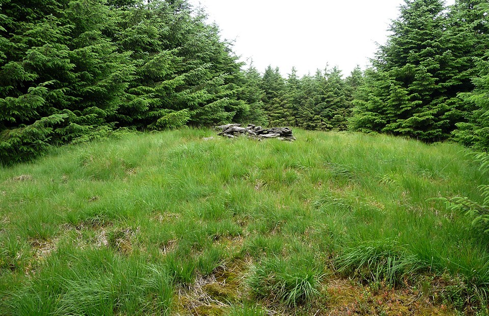
A forestry track takes me along the edge of the forest, before another heads off in a northeasterly direction into the trees. (Note for anyone wishing to come here - this track is not shown on the OS 1:25000, but it follows an old line of fence posts which are marked.) After about 100yds, a green strip of grass has been cleared through the trees on the south of the path. At the end of this strip is the first of the two summit cairns.
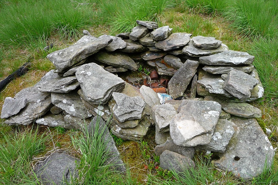
A large mound still exists, marked with a small cairn of stones that covers evidence of burning, rusty cans, and so on. Originally a central cist was found, but there's no visible evidence of this now.
I head off along the northeasterly path again. It, and the fence post line, take a sharp turn to the southeast. In theory there is an OS trig point here, another relic of a time before the trees. This trig would point me on the way to the second cairn. Unfortunately, the trees have formed an impenetrable barrier, within which is darkness and no way through. I carry on along the path until it meets another running north-south, hoping to find a way in from that side instead. But it's the same there too. So, I admit defeat. Perhaps at another time of year a way in can be found, or it may be that a way in from the north is possible (I didn't look in that direction).

 Posted by thesweetcheat