The Modern Antiquarian
Log in
|
Register
Home
Latest Posts
Forums
Maps
Help
Browse Sites
News
Blog
Contributors
The Books
Select
-
Belgium
Denmark
Eire
France
Germany
Greece
Italy
The Netherlands
Norway
Portugal
Republic of Malta
Spain
Sweden
Switzerland
United Kingdom
Wales
Ceredigion
Pendinas Lochtyn
Hillfort
Pendinas Lochtyn (Pen Dinas Lochtyn) (Hillfort) on The Modern Antiquarian, the UK & Ireland's most popular megalithic community website. 14 images, plus information on many more ancient sites nearby and across the UK & Ireland.
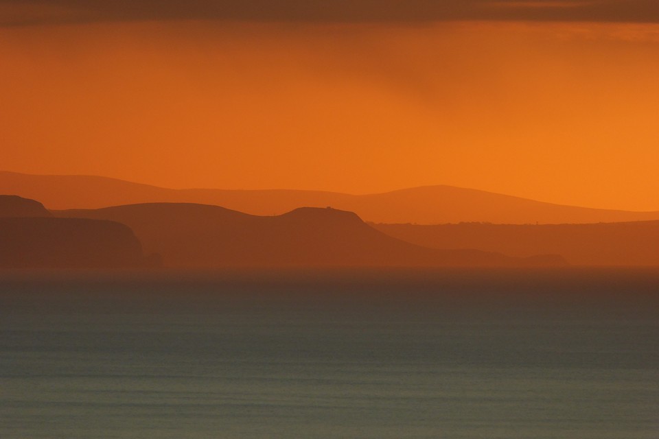
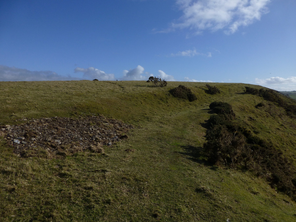
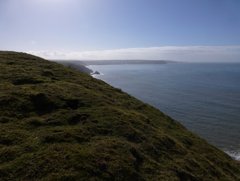
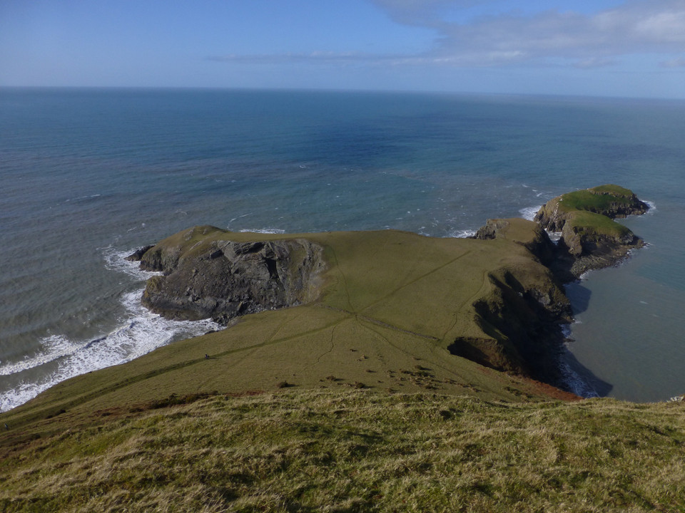
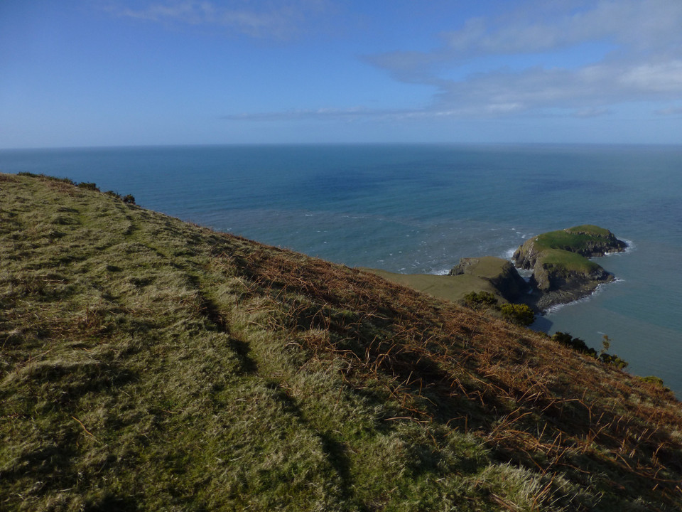
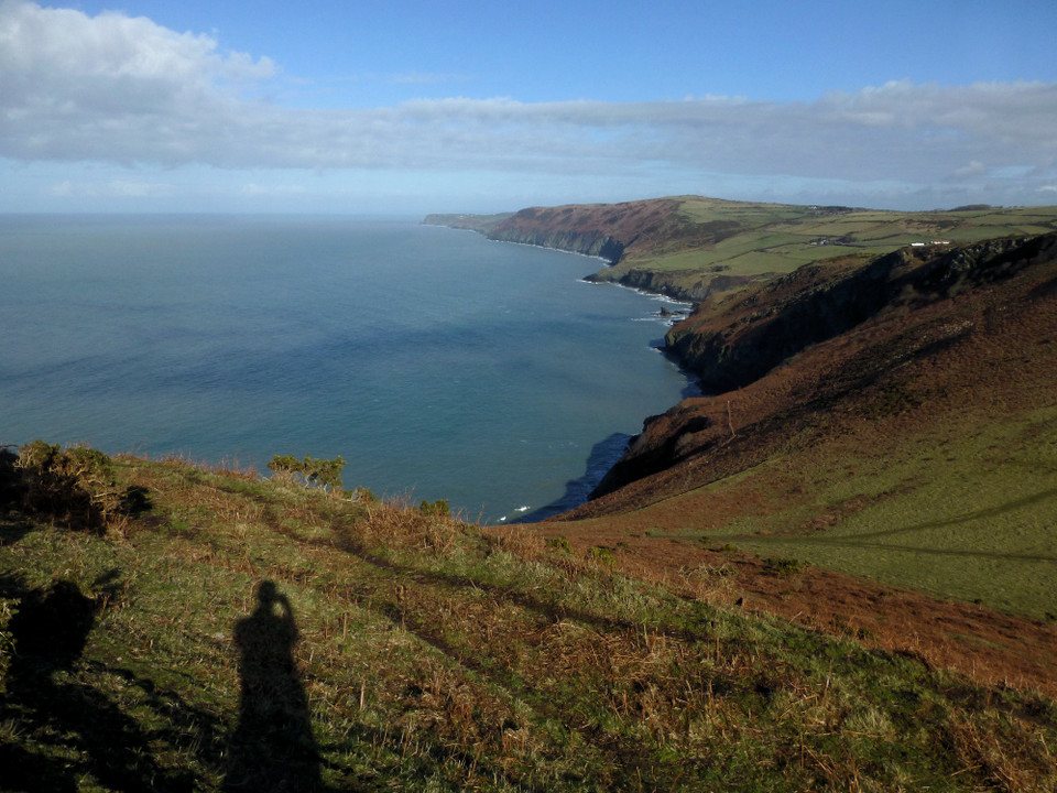
Image © A. Brookes (8.3.2015)
Also known as:
Pen Dinas Lochtyn
Nearest Town:
New Quay (8km NE)
OS Ref (GB):
SN31575486 /
Sheet: 145
Latitude:
52° 9' 56.87" N
Longitude:
4° 27' 46.7" W
Added by
C Michael Hogan
Images (14)
0 discussions
Start a topic
Show |
Hide
Web searches for Pendinas Lochtyn
Flickr
Google
Google Images
The Megalithic Portal
Bing
Stone Pages
Streetmap.co.uk
Wikipedia
Show map
(inline Google Map)
- Sites within 20 km -
-
Castell Bach (Penbryn) (1.86km SW) (7 posts)
Penbryn Pillar Stone (4.36km SW) (2 posts)
St Tyssilio's Churchyard Stone (5.35km ENE) (4 posts)
Castell Bach, Cwmtydu (5.55km NE) (10 posts)
Crug Cou (9.52km E) (2 posts)
Llwyn Crwyn (9.85km E) (1 post)
Llwyn-on-Fach (10.43km ENE) (10 posts)
Banc Rhosgoch Fach (12.01km E) (3 posts)
Pen-y-Graig (Llanarth) (12.43km ENE) (3 posts)
Foel y Mwnt (12.54km WSW) (6 posts)
Banc y Warren (13.32km SW) (1 post)
Whilgarn (13.56km E) (1 post)
Castell Moeddyn (17.01km E) (1 post)
Carreg y Fendith (17.42km WSW) (11 posts)
Craig Gwrtheyrn (18.69km ESE) (2 posts)
Garreg Lwyd (18.95km SE) (1 post)
- Facilities within 20 km -
-
New Quay Tourist Infor... (Tourist Information: 8.8 km NE)
Aberaeron Tourist Info... (Tourist Information: 16.2 km NE)
- Add -
-
Add news
Add an image
Add fieldnotes
Add folklore
Add miscellaneous
Add a link
-
Add a site
Add a nearby facility
Add an alternative name/spelling
Images
(click to view fullsize)
Add an image
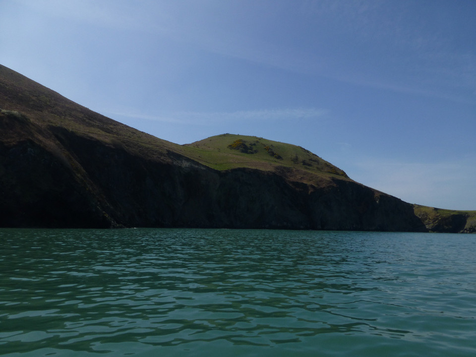
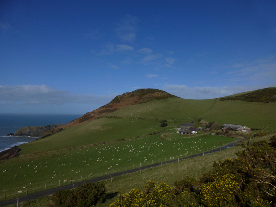
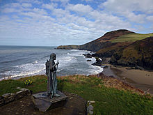 Image © A. Brookes (8.3.2015)
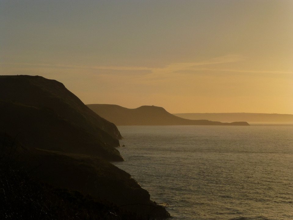
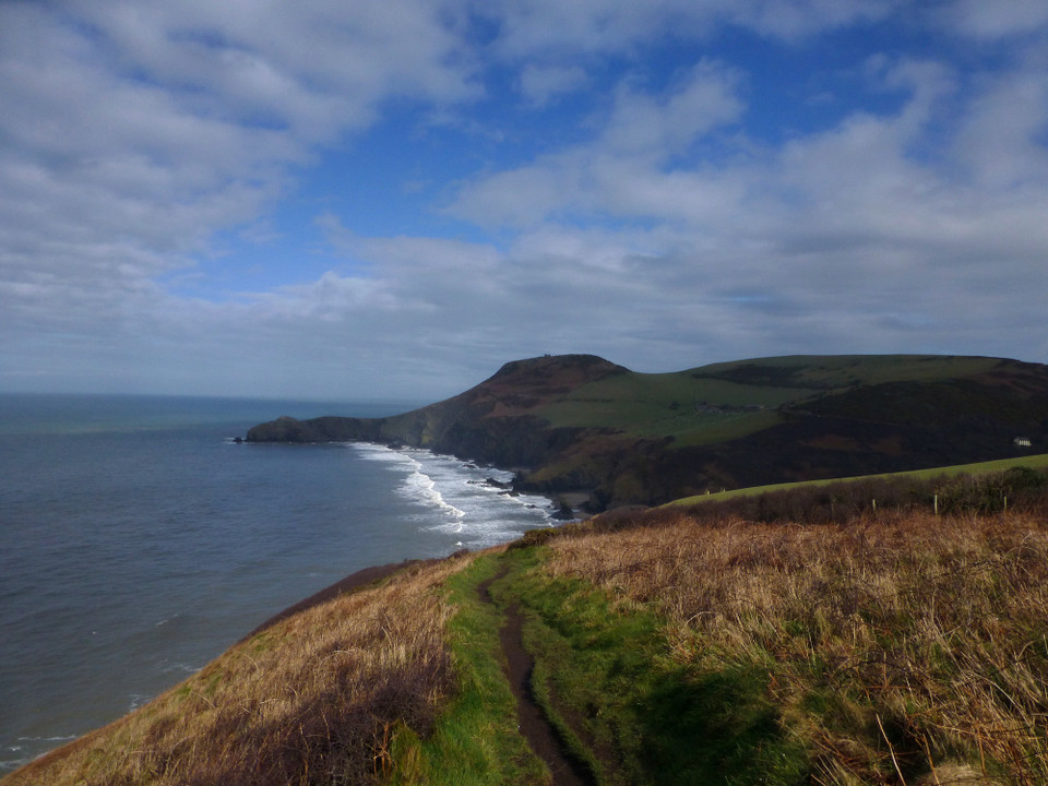