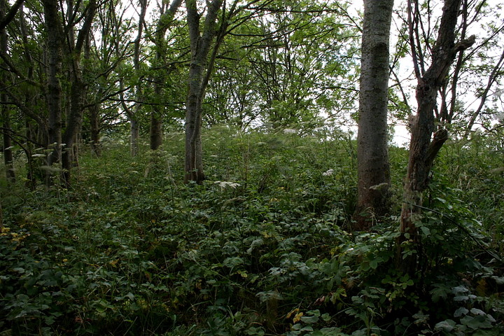
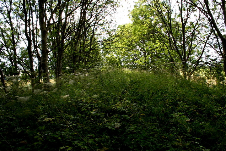
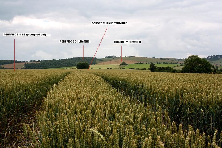
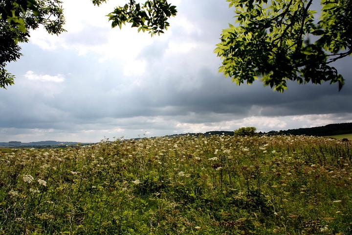
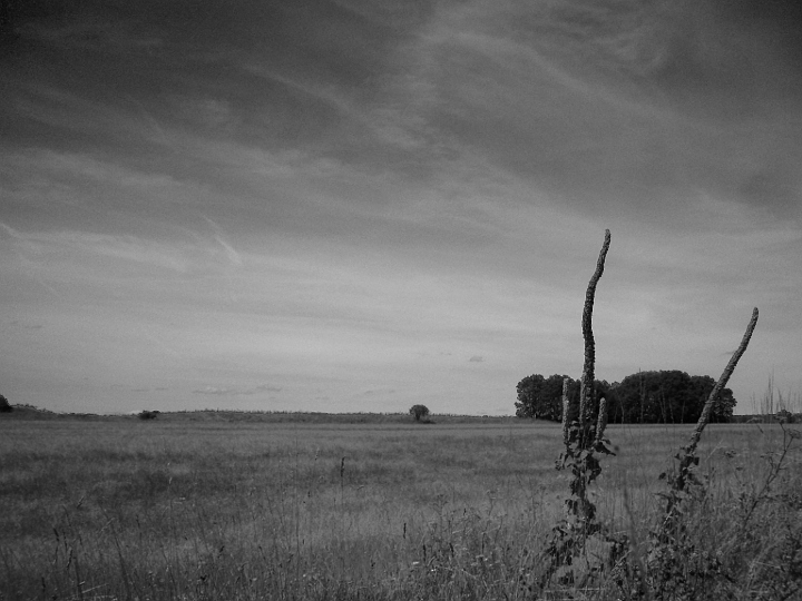
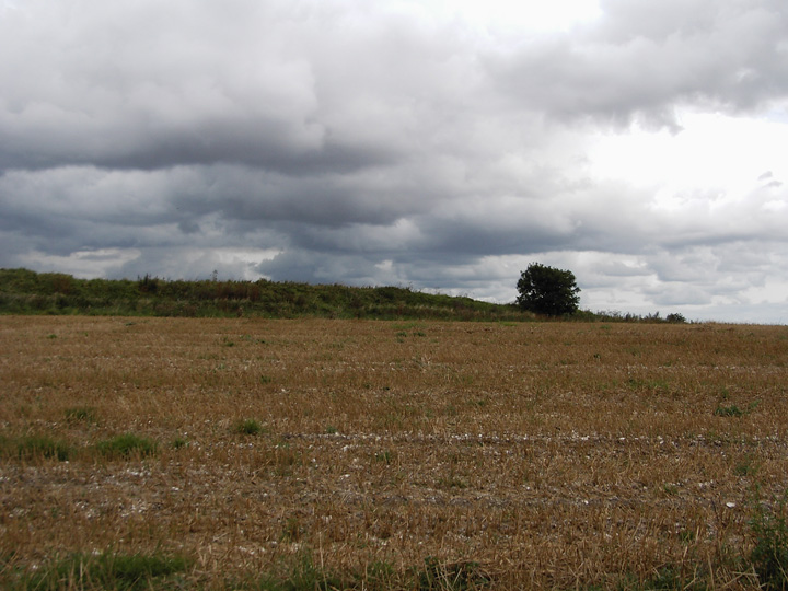
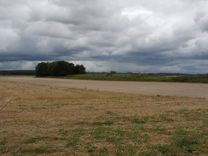
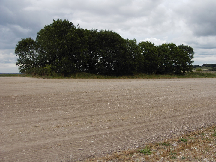
There are images of this included in the entry for the Dorset Cursus (north to Martin's down) but I think it deserves an entry of its own. I can understand why its used as there is nothing to see of the cursus end, having been totally ploughed out.
I have asked the question before as to whether this is a bank barrow, although marked as two long barrows on O.S. maps. I thought the similarity between this and Long Bredy bank barrow could give it the classification of bank barrow.
Having done some further reading / internet searching it seems I am not alone in considering it so. R.C.H.M.E. do list it as separate barrows, it is listed as Pentridge 21 and 22 but do question the separateness of the two. They also include it as a bank barrow in their Monument Class Descriptions listing.
Grinsell denotes it as Pentridge IIa/b, possibly hedging his bets. R. Loveday in "Inscribed across the land" includes it in his list of bank barrows. He gives the dimensions as 149m. in length and 20m in width. He does say that it was lengthened, as were both Maiden Castle (twice) and Long Bredy.
This is taken from Dorset Brrows by L.V.Grinsell and describes these long barrows/ bank barrow.
"Width includes probable berm ploughed to edge. Height of mound rises from NW to SE where 5ft. This and the last (II a) may in fact be one long barrow, as probing by R.J.C.Atkinson has shown ditches to be continuous."
Grinsell gives the following dimensions for both barrows : IIa - 300 feet long by 72 feet wide by 4 feet high.
IIb - 175 feet long by 70 feet wide by 5 feet high.

 Posted by formicaant