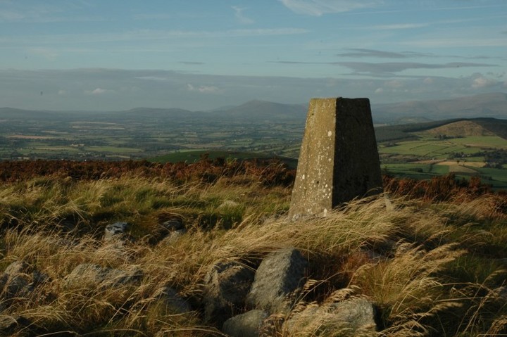
This was a long, arduous trek, began at Raheenakit and along the Wicklow Way. The forest tracks are fine, but the last 80 metres ascent through the heather, gorse and tumbledown mess nearly did me in.
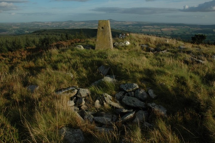
The cairn is being reclaimed by mother nature, with it's lower sections covered in peat. It's very roughly 20 metres in diameter with cairn rubble showing in a few places at its top.
The gorgeous views on a sunny mid-September evening made the trek worthwhile: south-west to the Blackstairs, north to Keadeen and Lybagh, and south-east into Wexford. I could see the sea off Gorey. Directly west you can see forever.
I was able to pick out the wedge tomb at Moylisha to the south-east. Descending down through the ruined pine plantation I went arse over tit and nearly broke me wrist.

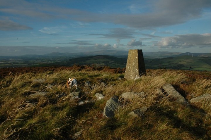
 Posted by ryaner
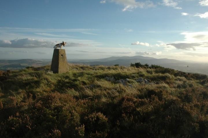