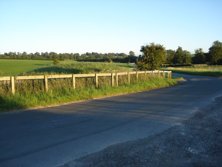
 The view from the road leading into Lambourn. - This is the most westerly point of the barrow group and the closest to the original long barrow (known to be visible). This point also marks the county line between Oxfordshire and Berkshire. A strange border that is difficult to follow on the OS map, this looks like it was re-drawn many times in the ancient past, with the L7B barrow group and it's outlining barrows, defining the territory of one tribe to that of another.
|
|
 Image Credit: Chance - Sep 2007
Posted by Chance
10th August 2008ce
Edited 10th August 2008ce |
NB: Unless otherwise stated, this image is protected under the copyright of the original poster and may not be re-used without permission.
|
|


