|
 Posted by mascot
14th December 2021ce
|
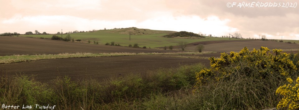
Desk based find, not had a look at this yet.
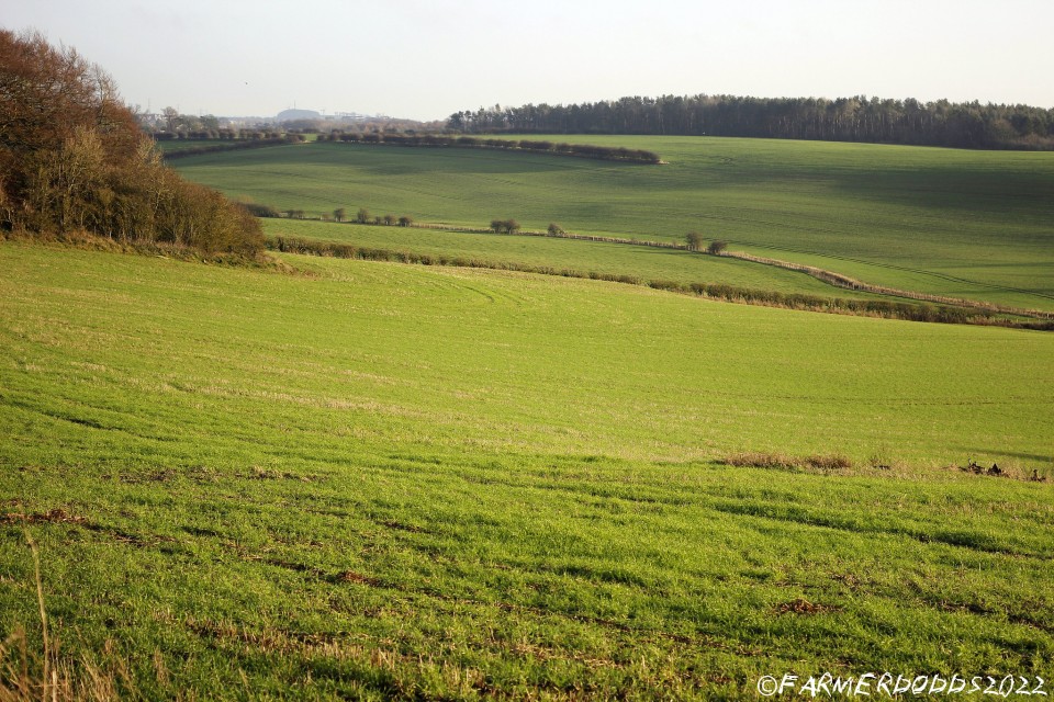
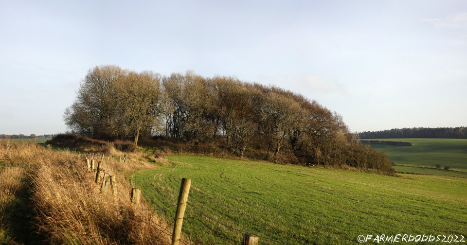
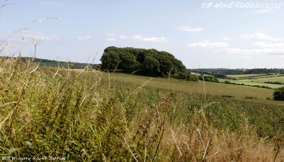
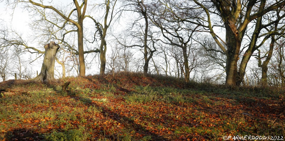
Working on on-line map based research in the durham area I came across this on Sat Image.
Circular ditch (100m in circumference) enclosing a raised circular feature. Seen a LiDAR image and it really jumps of the page on that but also shows as crop marks.
Not listed on HE records, keys to the past or the recent aerial mapping published by HE so could be one that's not been spotted before - will be interesting if that's the case as the HE aerial maps show ridge and furrow in this field from a 1958 RAF photo - so would be strange if it wasn't spotted then.
|
Posted by mascot
10th November 2021ce
|

|
Posted by mascot
10th November 2021ce
|
Barningham Moor on BRAC Updated
|
Posted by markj99
30th March 2021ce
|
Stobgreen Plantation on BRAC
|
Posted by markj99
9th January 2021ce
|