|
 Posted by ryaner
30th July 2020ce
|
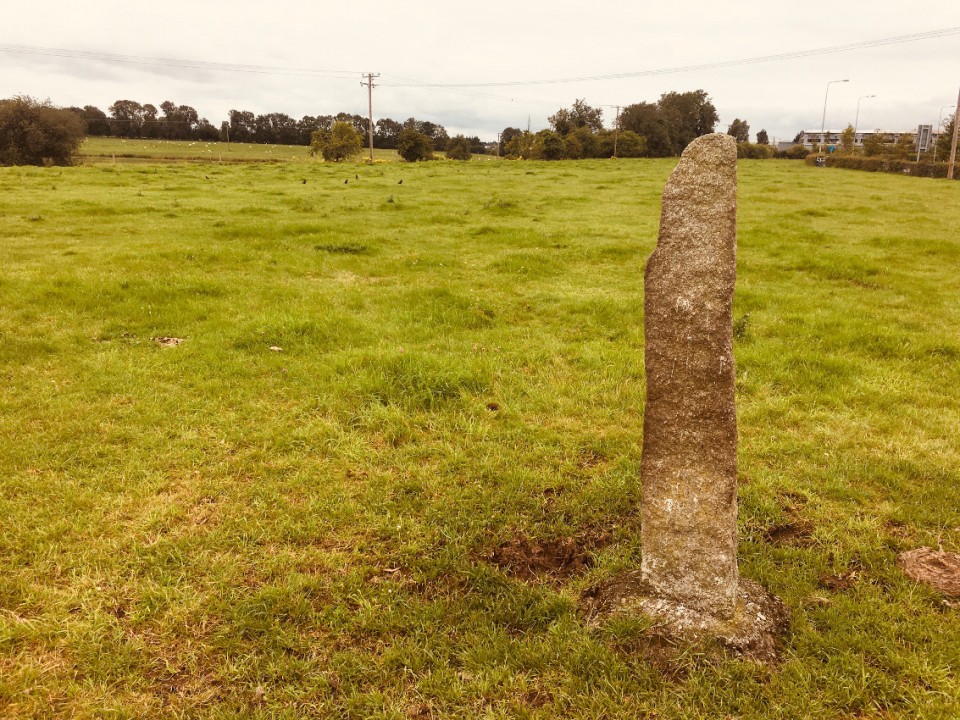
Browsing the map you see a row of nine barrows under 100 metres in length and reckon it's worth investigating. What you find could be said to be madly underwhelming, and yet...
The Curragh is full of barrows, north of the motorway, south of the motorway, north-west of the racecourse, on the army rifle range, on the Kildare golf course, they're everywhere. What was their purpose and who built them and when? Well there's this on one of the 'barrows' on the golf course "Some of these possible barrows may in fact be lunging rings." (Look it up - I had to.) Well you learn something new every day and the Curragh is very famous for horses.
But this group cannot be any of that other stuff. Aligned north-west/south-east, they are definitely there, small ditch rings with low central mounds. I struggled to see them, never mind photograph them, but was intrigued enough to persist. I can't say they're burial mounds with any certainty, but I'd recommend a visit if you're in the locality.
|
Posted by ryaner
9th June 2020ce
|
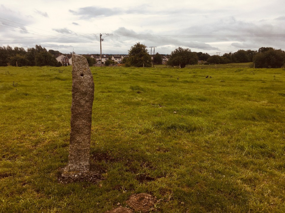
The entry at archaeology.ie:
Class: Barrow - ditch barrow
Townland: CURRAGH (Kildare ED)
Scheduled for inclusion in the next revision of the RMP: Yes
Description: On a long, gentle S-facing slope. The northernmost of a linear group of nine possible barrows (KD022-090---- to KD022-098----) with two more 'outliers' at the N (KD022-089----) and S ends (KD022-099----). Visible on an aerial photograph (DoD 1999). The group form a gently curving line (L c. 80m NW-SE) and all comprise small, low, circular, flat-topped mounds (basal diams. 4.9-6.2m; upper surface diams. 2.8-3.4m; H 0.1-0.2m), all (except the most southerly (KD022-098----)) defined by faint traces of a fosse (Wth 1m). They are not evenly spaced and lie between 2m and 20m apart.
Compiled by: Gearóid Conroy
Date of upload: 10 June 2011
|
Posted by ryaner
8th June 2020ce
|
    
|
Posted by ryaner
8th June 2020ce
|

|
Posted by ryaner
8th June 2020ce |
|