|
     
|
 
|

|
|
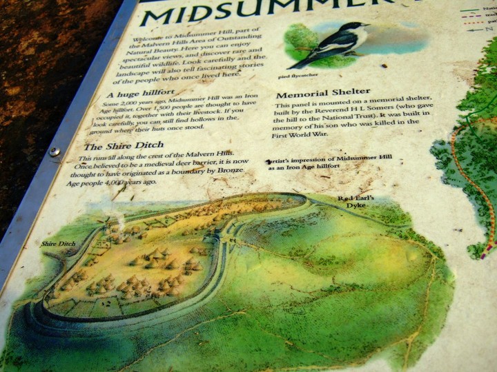
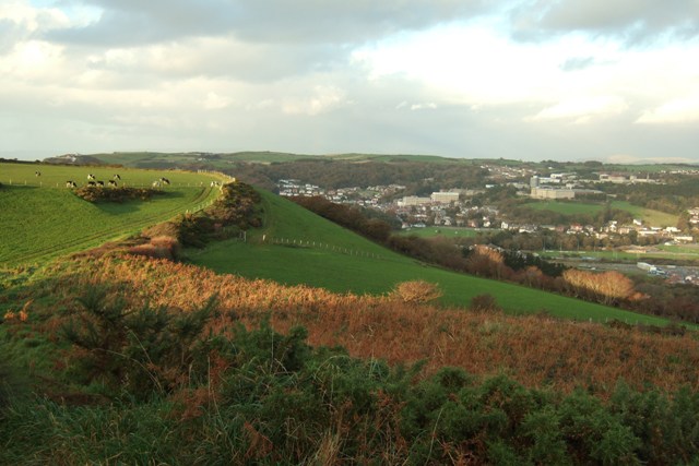
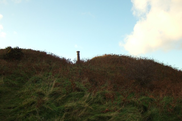
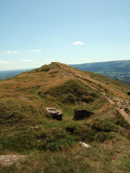
Inside the memorial shelter there is a National trust sign saying: "This iron age Hill fort was given to The National trust in 1923 in memory of Captain Reginald Somers Cocks, M.C."
|
 
|
|
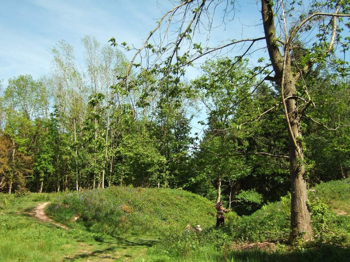
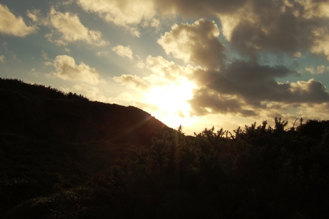
Be careful in the summer- there are insects (wood ants?) that gave my dog some nasty bites.. so bad we don't go up there in summer anymore.
|
|
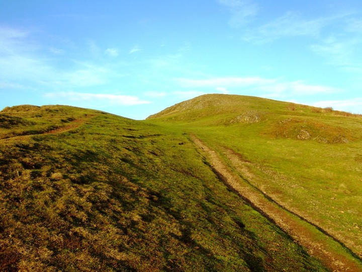
A warning- if walking up on the hill with a dog keep it under control- there are sheep and ponies loose (sometimes with lambs and foals!)
|
     
|
  
|
Homepage of the Islands in a Common Sea, Isles of Scilly Archaeological project (Cardiff University)
|
| |