|
 
|

|

|
   
|

|
 
|
  
|
   
|
'Lasting damage' done to Deer Stone in Glendalough
Lasting damage has been caused to the Deer Stone in Glendalough, Co Wicklow, in what appears to be an act of vandalism, according to Project Manager for HeritageMaps.ie Pat Reid.
Speaking on RTÉ's Today with Philip Boucher-Hayes, Mr Reid said he believes someone lit a fire on the stone, which caused the boulder it is carved into to crack.
More: https://www.rte.ie/news/regional/2023/0809/1398883-deerstone-glendalough-wicklow/
|
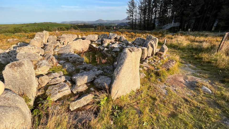
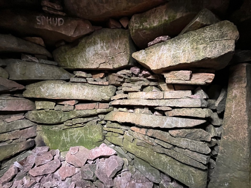
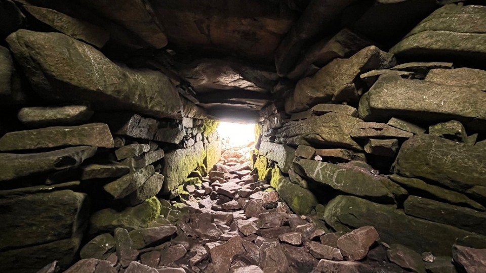
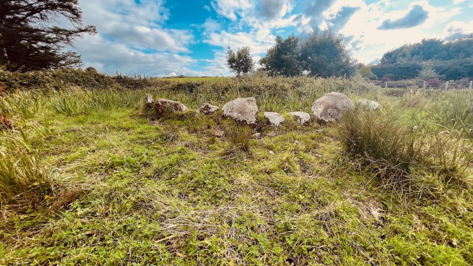
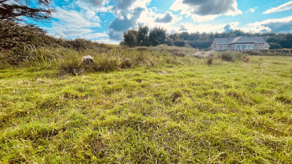
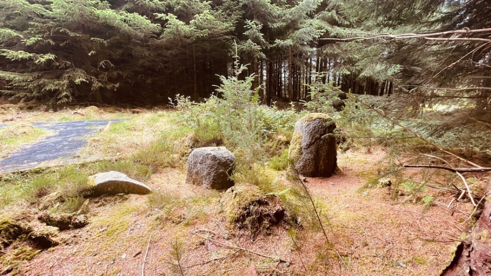
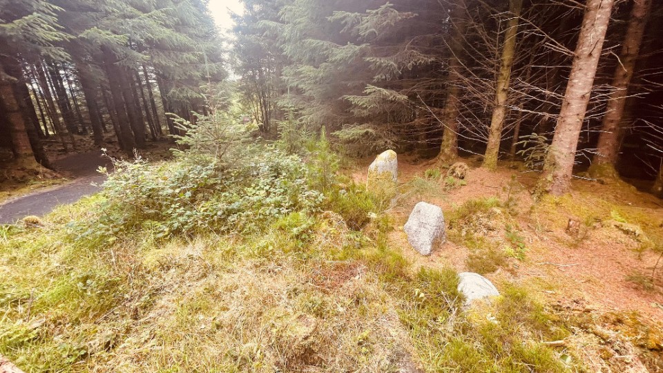
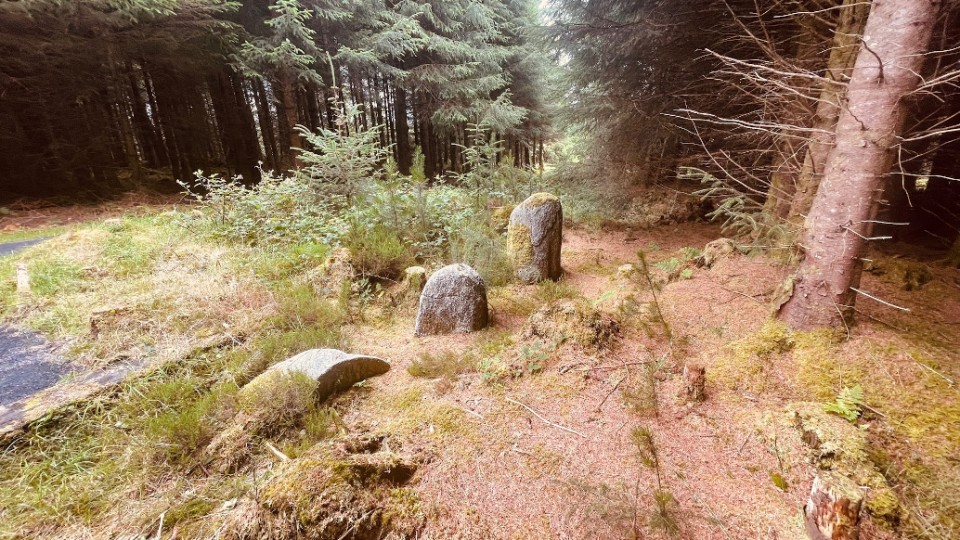
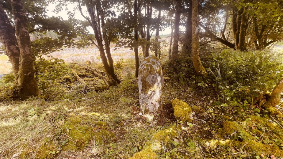
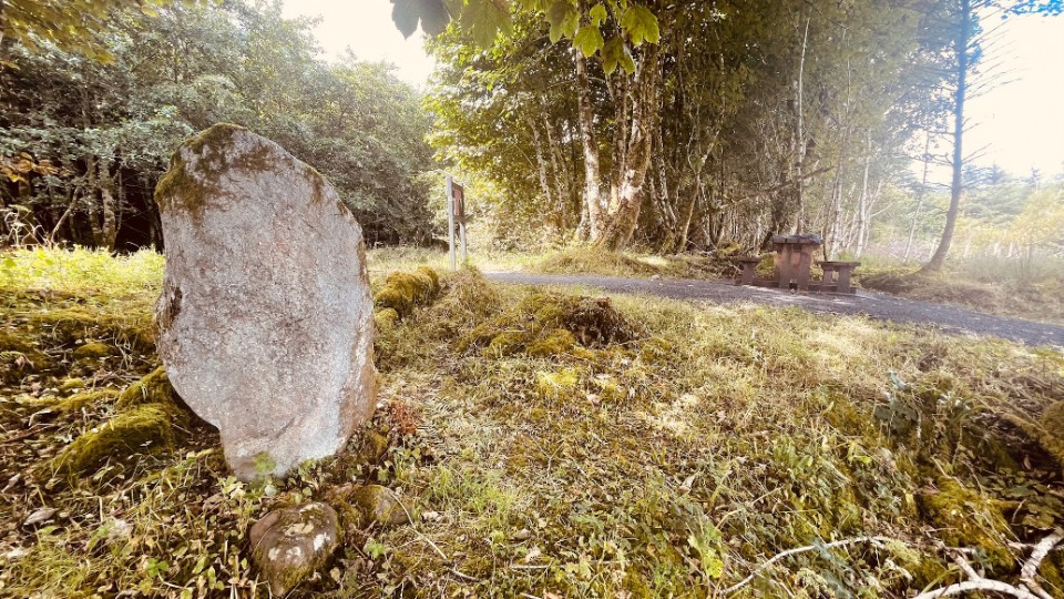
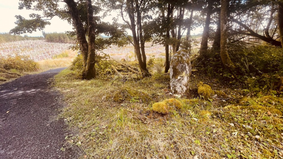
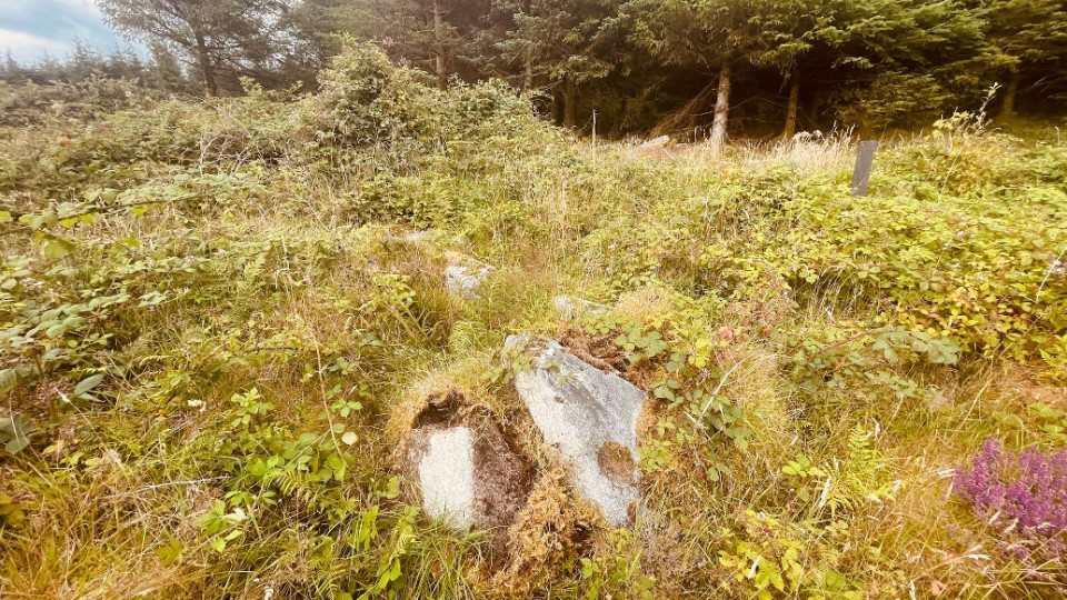
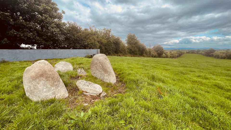
Sheep’s Head Stone Circle Revived!
Article on the restoration of the stone circle at Gorteanish.
|
| |