|
|
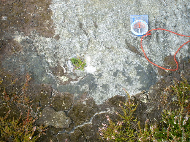
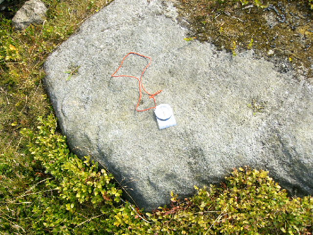
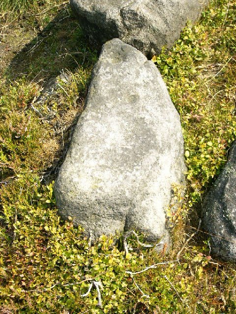
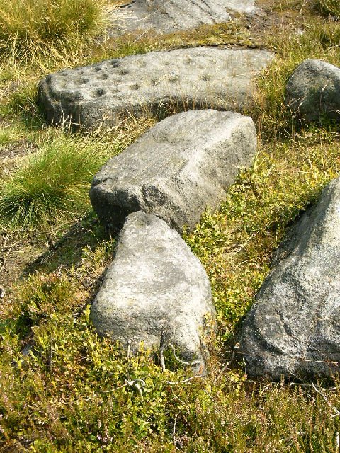
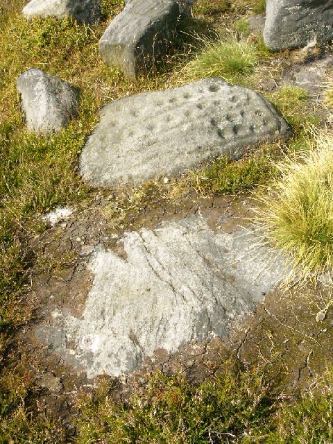
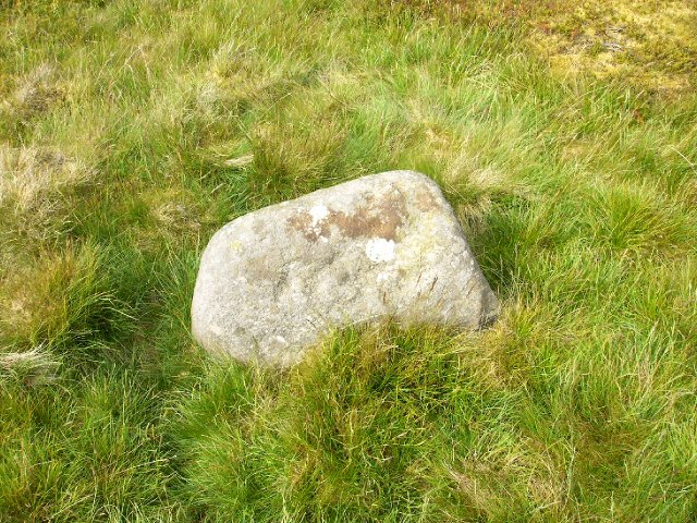
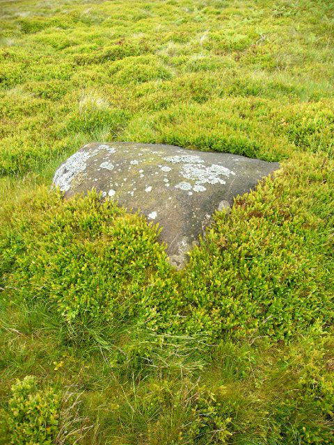
The Idol Stone PRAWR 322 SE 13265 45943 is part of a small group of cup and ring stones within 5 metres of each other, which includes PRAWR 321 SE 13265 45942, PRAWR 323 SE 13265 45944, and PRAWR 234 SE 13265 45945. I have included photos of these here, with explanatory notes.
|

|
|
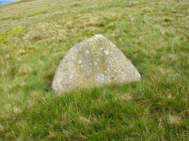
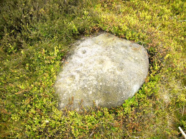
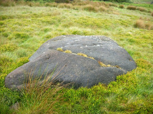
This is an isolated rock best found using a GPS SE 11417 46040. It is conical and has marks on all the three sides. Sorry I forgot the measuring stick and compass :-(
|

|
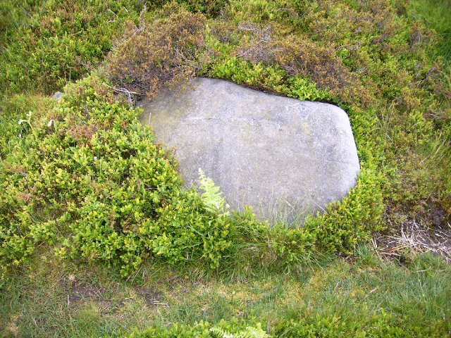
This is an isolated boulder best found with a GPS SE 11330 46111
PRAWR has it as "possibly natural" but I like it, so I marked and photographed it.
|

|
|
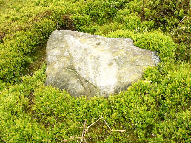
This is an isolated boulder best found with a GPS SE 11007 46451
|

|
|
This is an isolated boulder best found with a GPS SE 10767 46492
|

|
|
This is an isolated boulder best found using a GPS SE 10572 46336
|

|
241 SE 10527 46616
This is an isolated boulder, best found with a GPS. PRAWR has this as doubtful, but it looks OK to me.
|

|
|
This is an isolated rock best found with a GPS SE 10474 46635 surveyed by English Heritage to 1 m
|

|
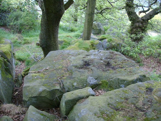
SE 10377 47027, SE 10377 47027, SE 10380 47027, SE 10382 47027.
These are a row of stones at the top of Panorama Woods/Rocks, about 10 yards north of Panorama Drive. I am sure that I have identified 232 and 233 from PRAWR but 231 and 230 are in the correct position, but I have failed to match rock shape and depressions to PRAWR.
|
Review and order form for Prehistoric Rock Art of the West Riding. Keith Boughey and Edward Vickerman. ISBN 1 870453 32 8. Price £14.00 plus £4.50 postage and packing.
|
Rombalds/Ilkley Moor is now covered by "Right to Roam" legislation.
As from 28 May 2005 Rombalds/Ilkley Moor is covered by the Open Access Legislation, http://cms.countrysideaccess.gov.uk/places_to_go/open_access/ . So you do not *have* to keep to the paths. The northern part of the moor has been Open Access for some years. A new issue of the OS Explorer map 297 Lower Wharfedale & Washburn Valley showing the Open Access areas covered is on sale. Ensure that you get one with the gray patch on the spine and front. Be aware that there are restrictions (people with dogs) on the use of some of this land, and "Exclude people altogether" restrictions on some days, as listed on the web site above. The legislation will become effective throughout England by the end of 2005.
The usual warnings. Anyone who goes off the paths should treat the Moor with respect, boots, food, walking gear, wet weather gear etc. The going underfoot varies from easy grass, to knee deep heather or reeds, knee deep bog, or waist high bracken. These often hide dry or water filled deep holes, not to mention disused quarries.
Rombalds Moor contains some 350 Cup & Ring stones and other neolithic sites. A few dozen of these are well known and were discovered and described in Victorian times: Cow and Calf Rocks, Swastika Stone, Pancake Stone etc. and these are easily found and close to existing paths. But many more have now been listed in Prehistoric Rock Art of the West Riding (PRAWR) K.J.S Boughey and E.A. Vickerman, ISBN 1 870453 32 8 http://www.alkelda.f9.co.uk/wybook1.htm, which includes an order form.
PRAWR lists in all some 653 cup and ring stones and other sites within the West Riding, only a few of which are listed on this web site. Previously unknown examples are found regularly in the area.
An advantage of PRAWR is that it gives the usual lengthy discussion. Plus for each site, not only a description, position and often a photograph and/or sketch. But also 10 figure (1 meter) OS National Grid References for each rock, which means the a person with a hand held Global Positioning System receiver (GPS) can walk to within a few meters of a rock. Hopefully in 2006, EGNOS http://www.esa.int/esaNA/GGG63950NDC_index_0.html, which is much behind schedule, will at last become operational. This is similar to WAAS, but for Europe. Then it well be possible for a hand held GPS user to walk to within 2-3 meters of a rock. Without a GPS, and some description of the rock, finding a single boulder in Bracken/Heather is shall we say difficult.
|
RombaldII hasn't added a profile
|
| |