Showing 1-50 of 89 posts. Most recent first | Next 50  
|
|
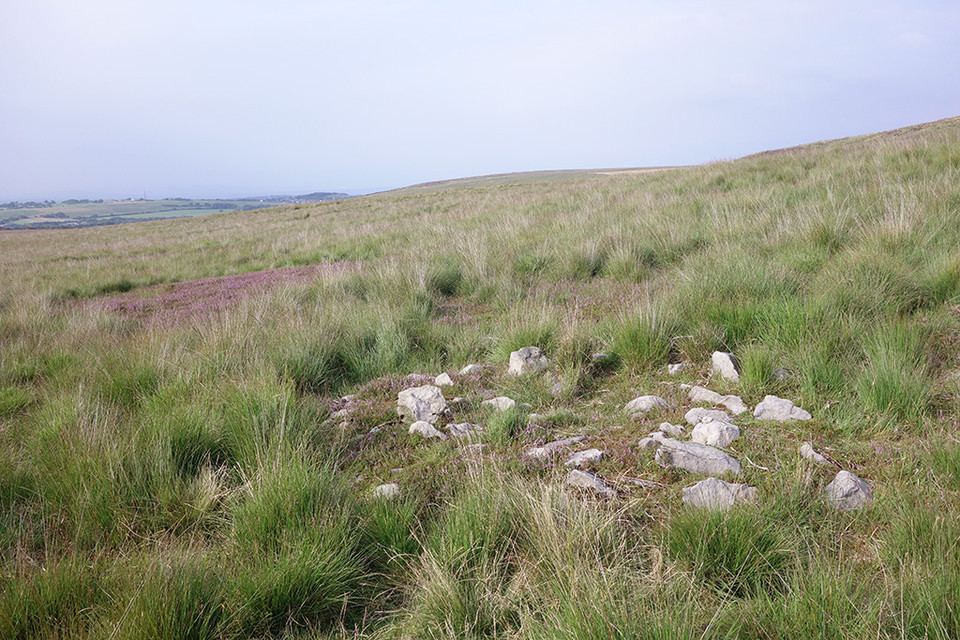
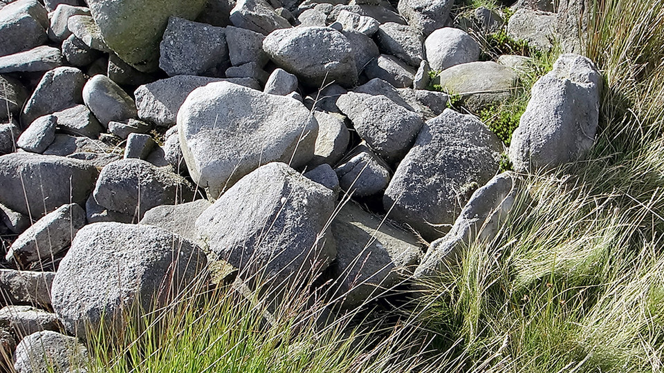
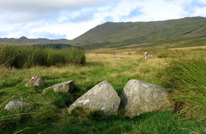
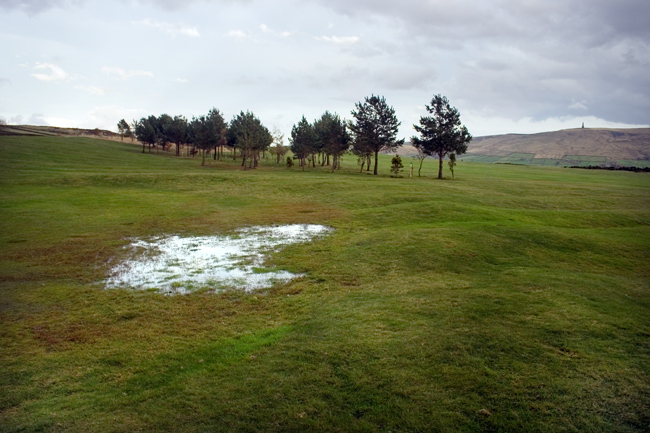
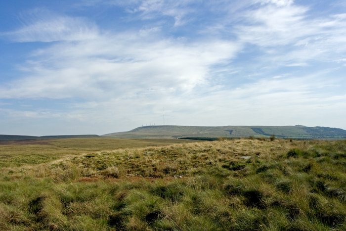
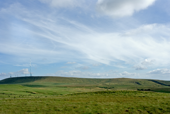
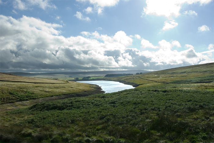
2 Cairns & a Mesolithic scatter site are listed very close together in The Anglezarke survey report & also by Pastscape, so having worked out where the sites should be I headed off on the short walk from Moor Lane. The first of the cairns is quite easily found, but the second is more problematic, I think I found it but it’s buried deep in the Anglezarke tufty grass & a winter trip when the vegetation is at its lowest is needed to confirm it.
|

|
|
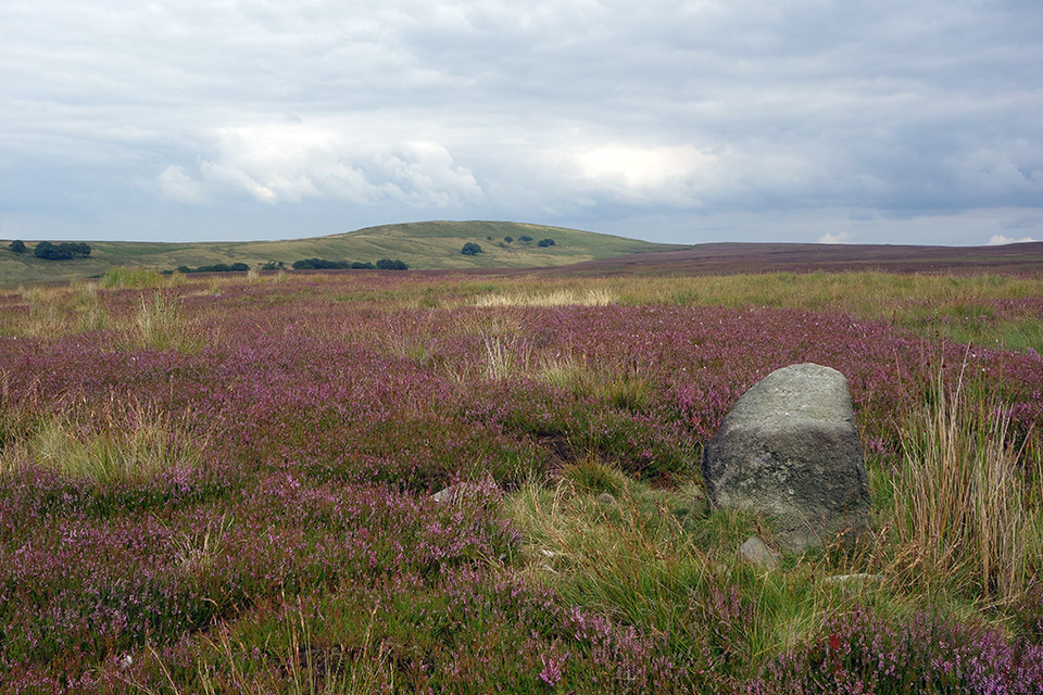
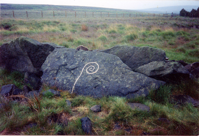
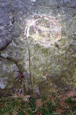
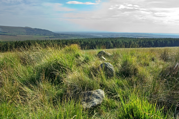
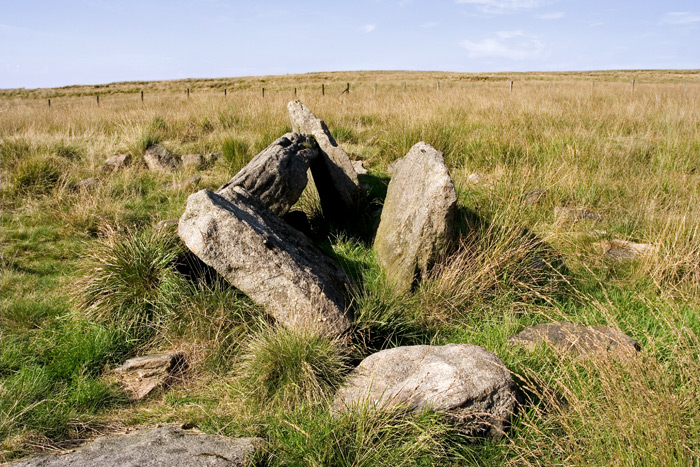
Listed on Pastscape as a “Broken standing stone on Anglezarke Moor. Possibly prehistoric, but more likely a med/post-medieval waymarker” this stone at least has its feet rooted in the ground, not in peat & is also situated away from any major stone working sites, but as with so much up here the question of its antiquity remains. In common with most of the Anglezarke sites whichever way you try to access this stone, bogs & tufty grass are on the menu!
|

|
|
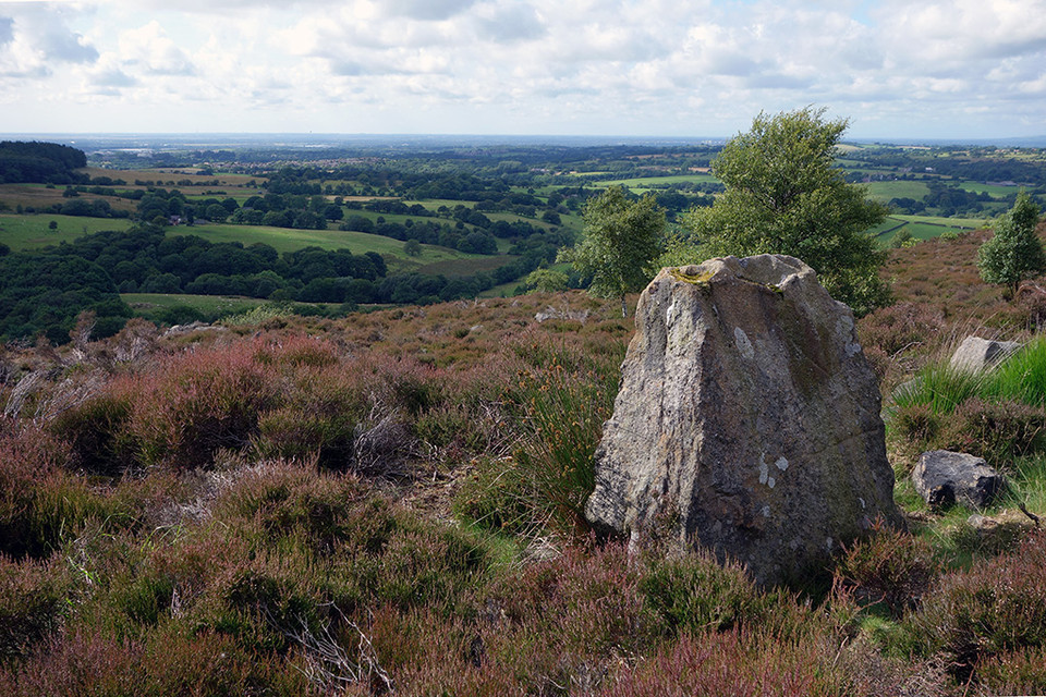
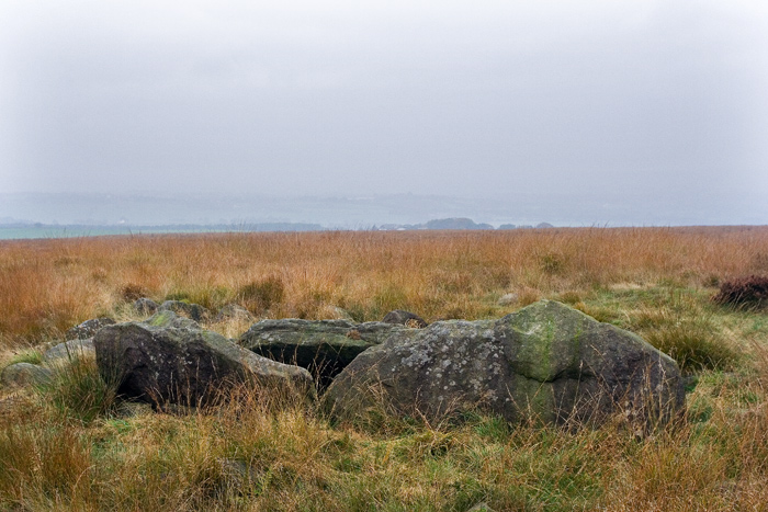
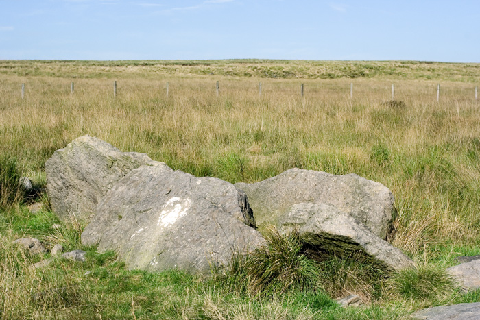
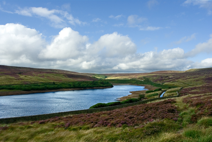
A wonderfully sited standing stone on Stronstrey bank, if this is Neolithic it has had an amazing escape situated as it is in the middle of & surrounded by post medieval stone workings. Personally I think I think it’s contemporary with the surrounding stone workings and has been standing for a few hundred years at most.
|
|
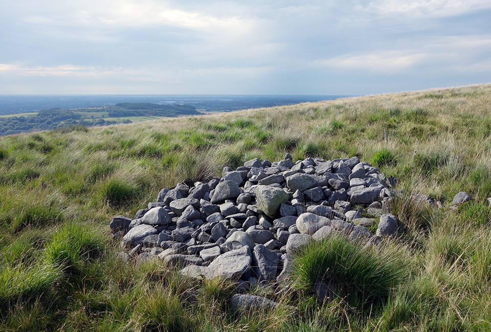
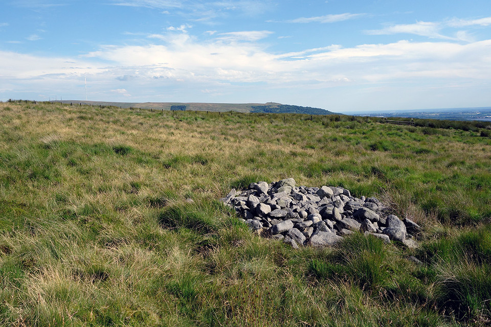
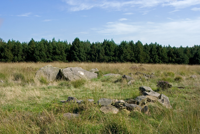
Even though Anglezarke is my local site I had never given this cairn much thought, assuming it to be synonymous with the site posted here as Pikestones Cairn. Recently however the difference in location between the site of the the Pikestones Cairn & all of the published data on Jepson’s Gate Cairn began to intrigue me, surely all of the sources for the JG Cairn, including the excavation report, couldn’t have it in the wrong place? The published co-ordinates placed Jepson’s Gate Cairn on the south-west side of Hurst Hill, whereas the Pikestones Cairn is on the south. There was only one thing to do and that was to get re-acquainted with the delights of the Anglezarke tufty grass & bogs, soon locating the cairn with it’s still clearly defined kerb very close to the published co-ordinates.
|
   
|

|

|

|
   
|
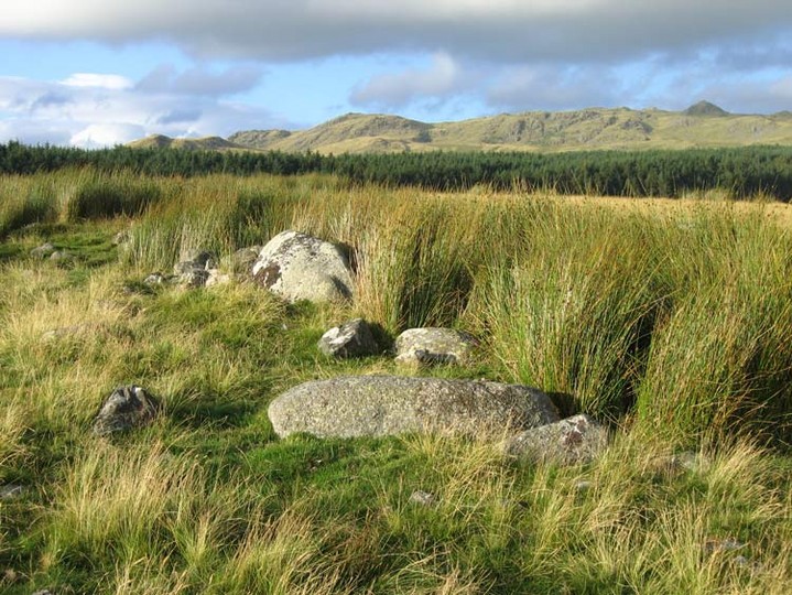
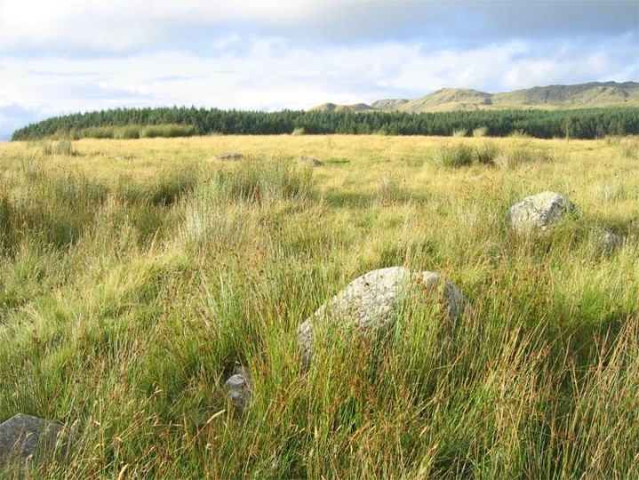
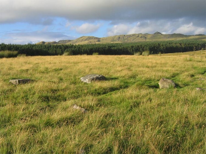
The circle consists of 15 low granite stones and has a diameter of 20m; it is sited next to the well preserved remains of a Romano British Enclosure into the walls of which some of the stones on the Western side have been incorporated. The circle although quite ruinous is easily recognized, although a number of the stones are hidden by tall grasses.
The extensive site, of which the circle is a part, bears evidence of long term occupation, containing not only the circle and enclosure but four substantial cairnfields, several stone banks, an ancient trackway, hut circles, and the remains of a medieval field system.
|
  
|

|

|
 
|
|
Close to Pike Stones and the Jepsons Gate Cairn, evidence of Mesolithic lithic scatter and occupation were discovered by excavation in the 1990's. The report can be found in The Proceedings of the Prehistoric Society 62/1996.
|

|
  
|
 
|
 
|
|
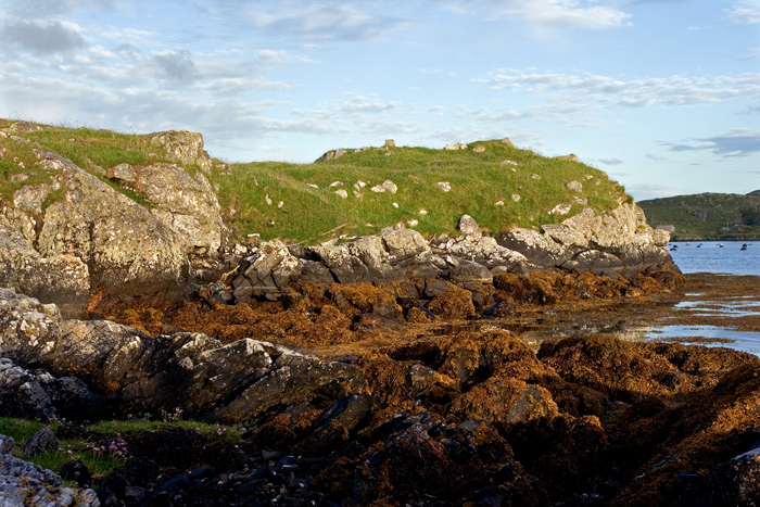
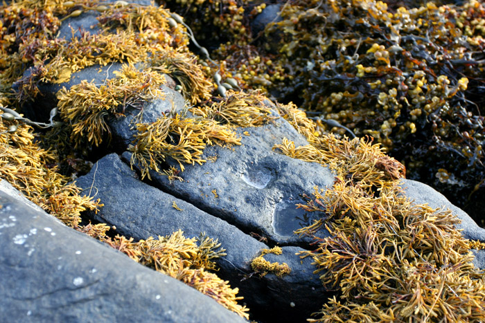
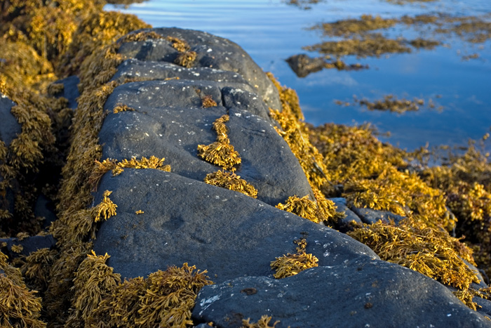
Not that easy to find, the carvings are below the tide level on very slippery rocks. There are more cups here, but either they were below the water level or hidden by seaweed, and as my swimming abilities are very similar to those of my camera I decided to settle for the more obvious examples.
|
| |