Showing 1-50 of 829 posts. Most recent first | Next 50 
Dry weather exposes treasures below Stithians Reservoir
Low water levels have uncovered prehistoric treasures beneath a Cornish reservoir.
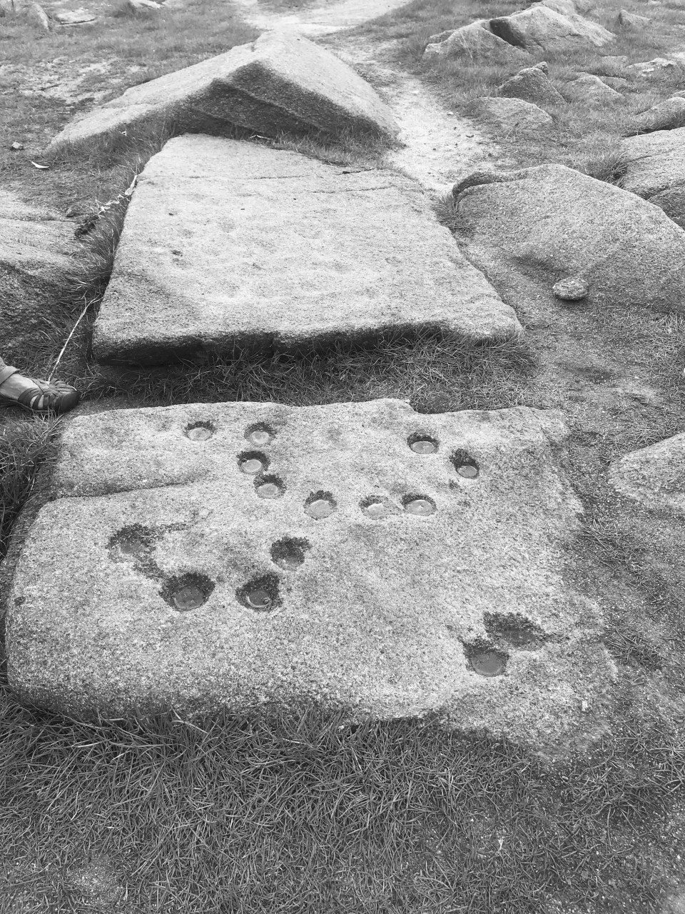
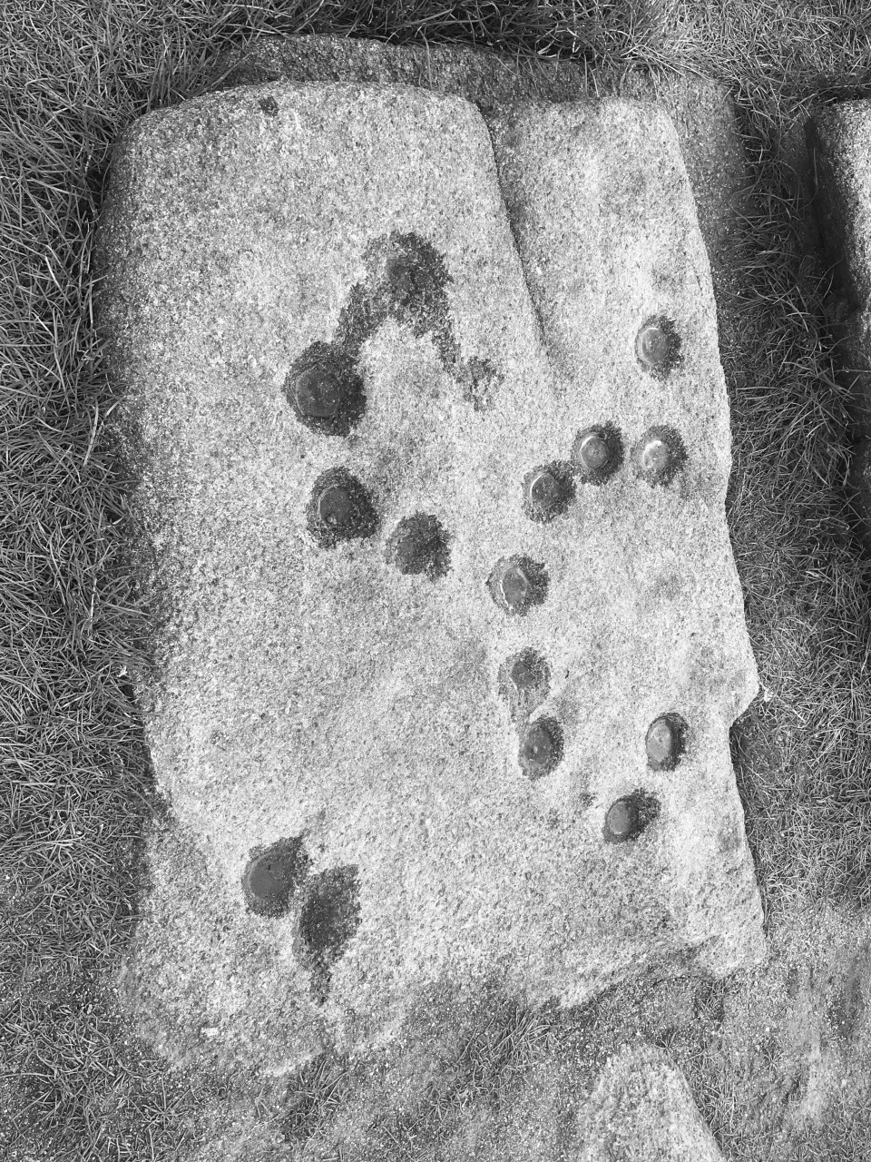
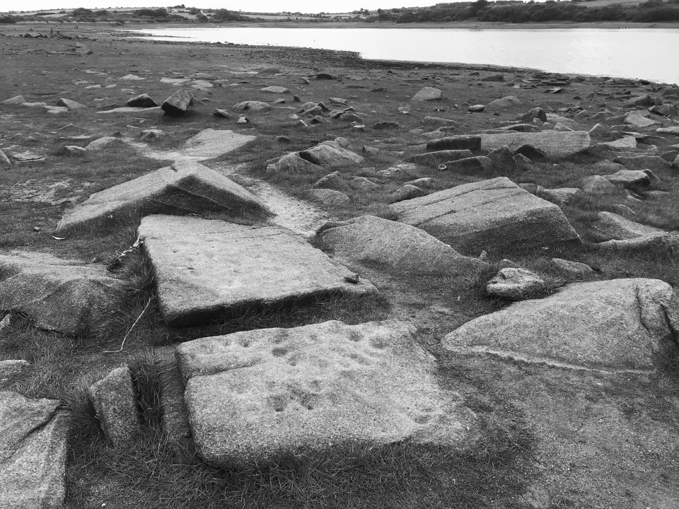
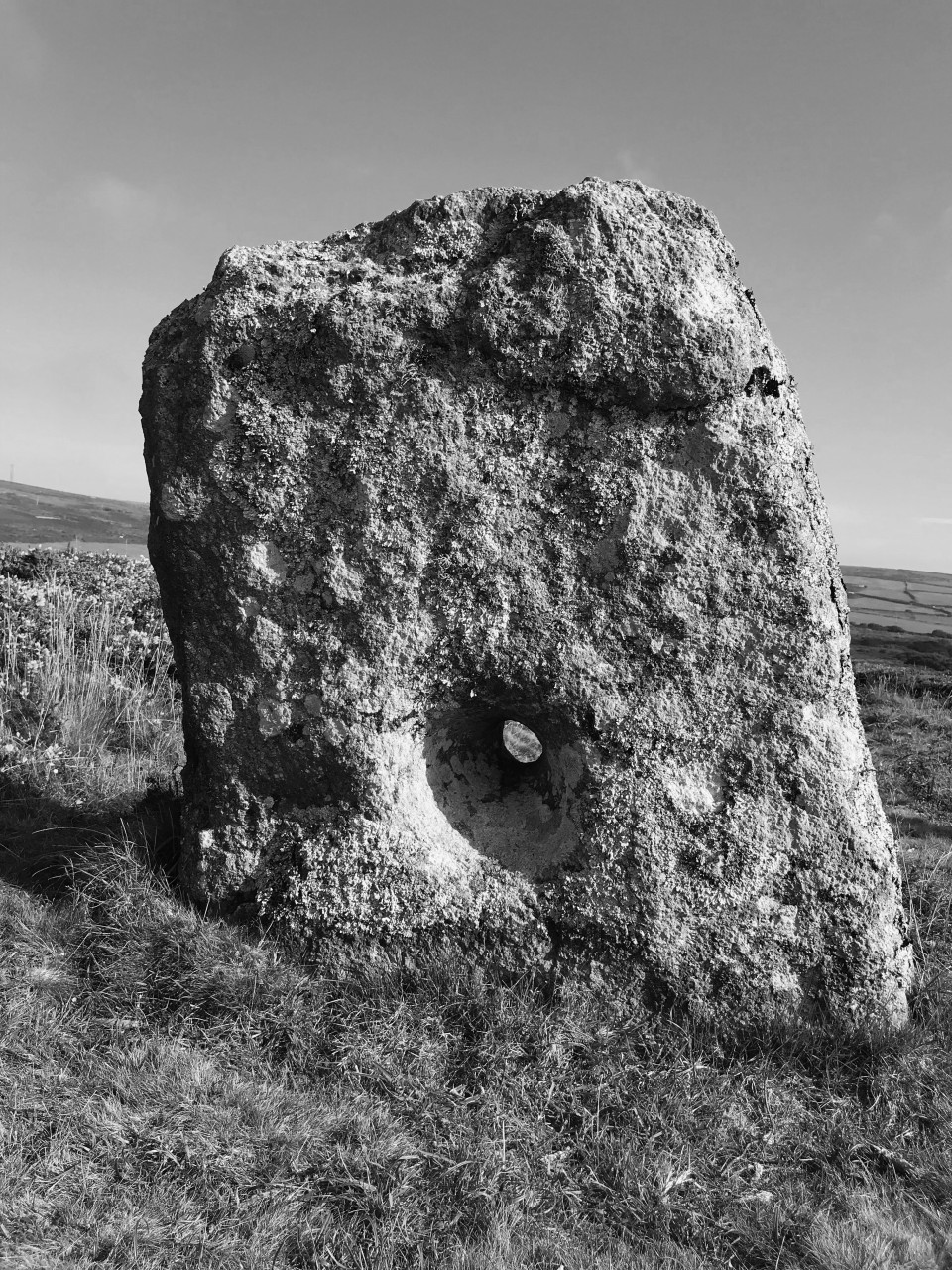
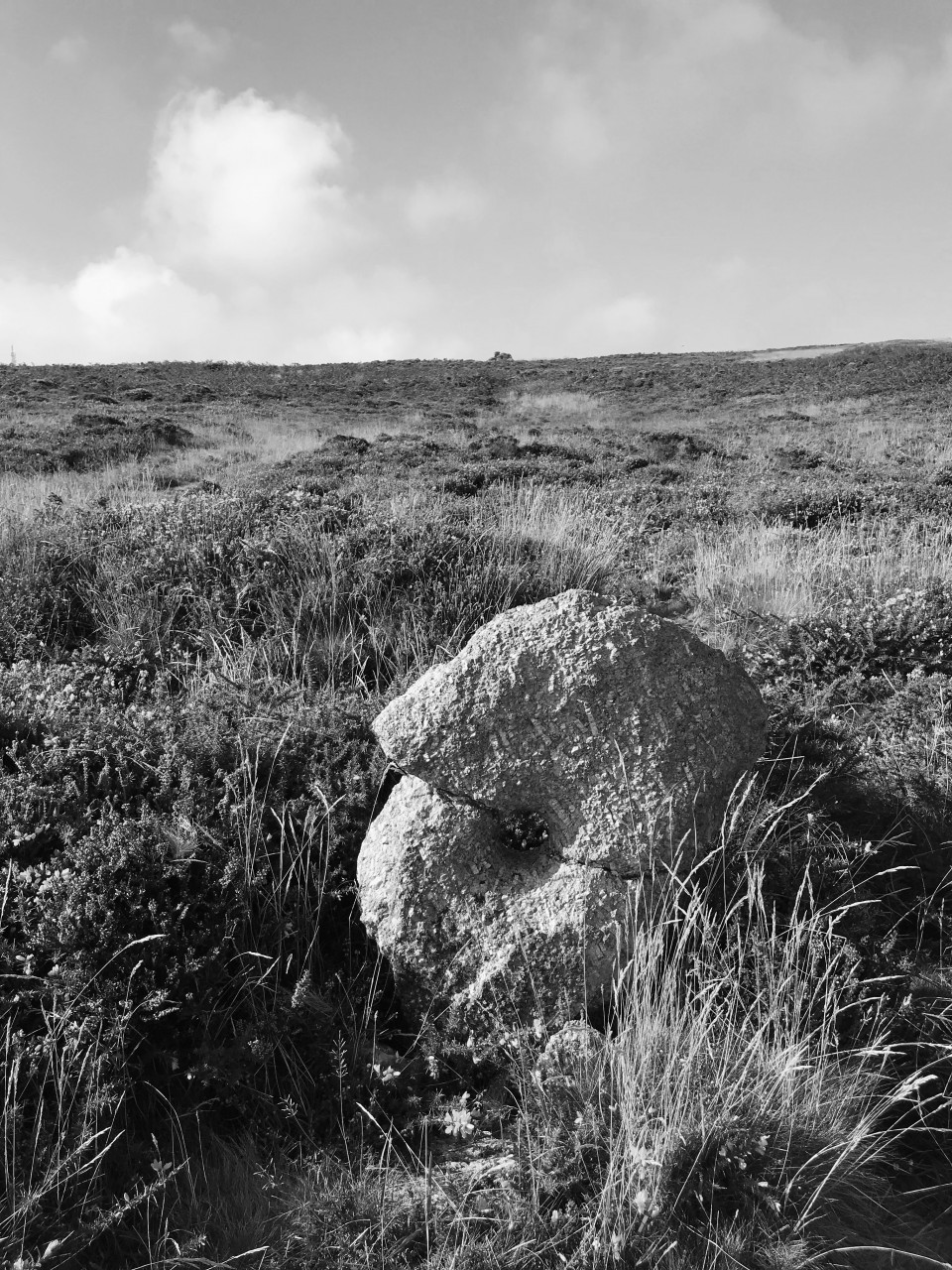
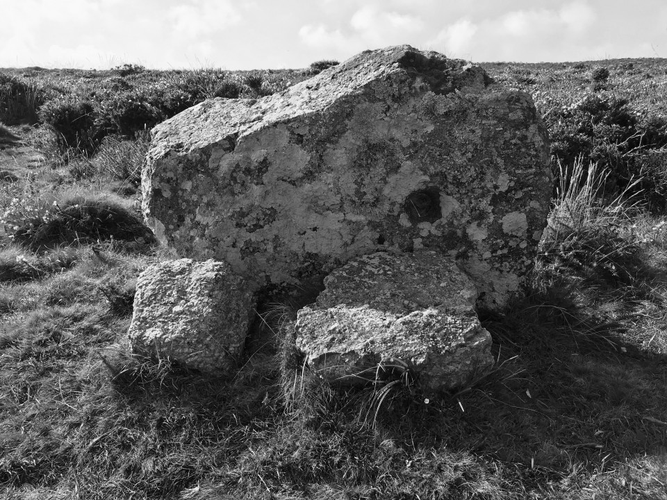
A collection of cup-marked stones are among the artefacts to have emerged at Stithians Reservoir near Falmouth.
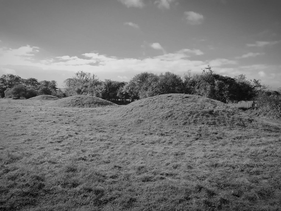
There is also evidence of medieval farmsteads and modern pottery on the shoreline that is usually under water.
https://www.bbc.co.uk/news/uk-england-cornwall-62222719
|
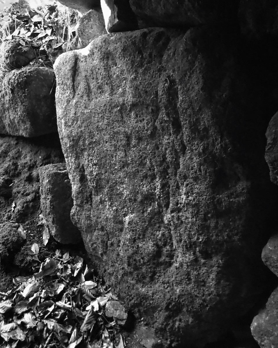
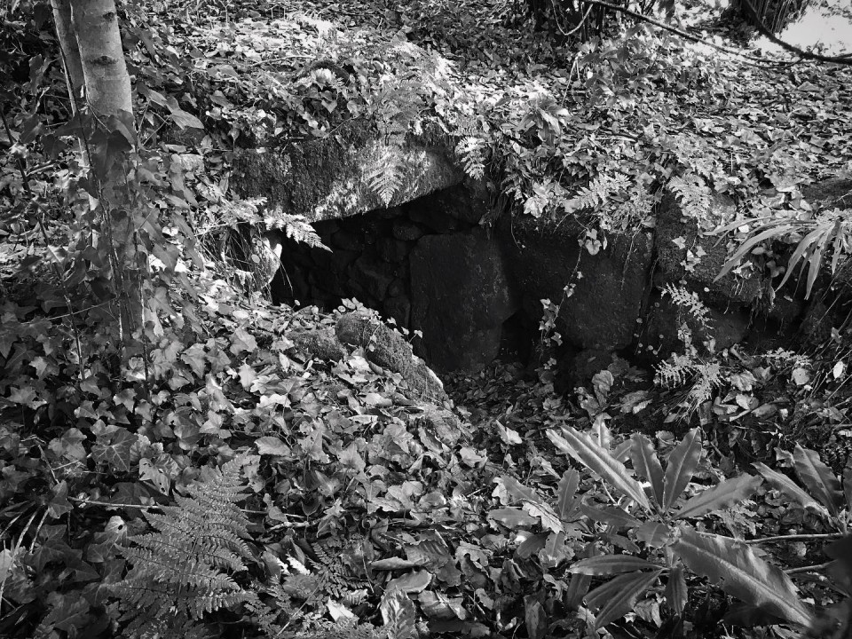
The low water level at Stithians has revealed once again these tremendous treasures, two groups of cup marked stones. Perhaps there are many more here to be found? It certainly feels like that may be the case.
It takes us a good hour to locate the stones, walking at least half the circumference of the area. Once we located the stones though it was all worth it. The heat is intense and the feeling of seeing and touching these stones is like time travel, no, IS time travel!
The obvious draught and climate change effects can't be ignored, leaving us feeling a contridiction of the joy of discovery and the joy of a sunny and lovely day with the understanding that the very revealing of these stones presents us with harsh realities of planetary emergency.
|
| |