|

|
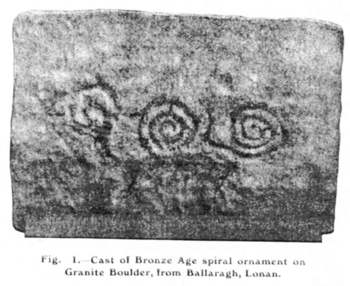
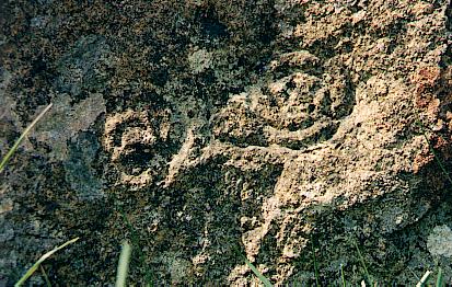
I visited again on 8th June 2004 and got some half-decent photos. I think an overcast day is best! The spirals do not seem to be as clear as they were several years ago, when I took my previous photos.
Please note this site is by the edge of the road, and not one and a half fields up the hill as the latest digitised footpath map shows!
|

|
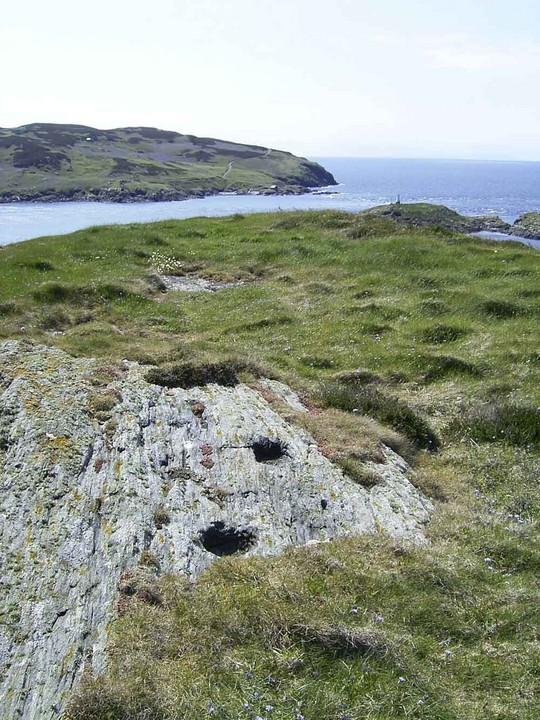
The OS map shows both the sites described by Kammer, there is possibly a third mound just 2 metres to the west of the heather covered mound. The SMR describes them all as Dalby Mountain Burial Mound, and then gives them A, B & C suffixes. I prefer to call them Dalby Mountain South West Mounds A & B. The land is owned by the Manx Wildlife Trust and is publically accessible.
On the other photograph, the brown cow does indeed stand in front of the mound, which I call Dalby Mountain (west of road). This is on private land, and was excavated in the past and cremation urns recovered.
|
| |