Showing 1-50 of 54 posts. Most recent first | Next 50  
|

|

|

|
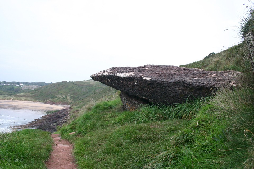
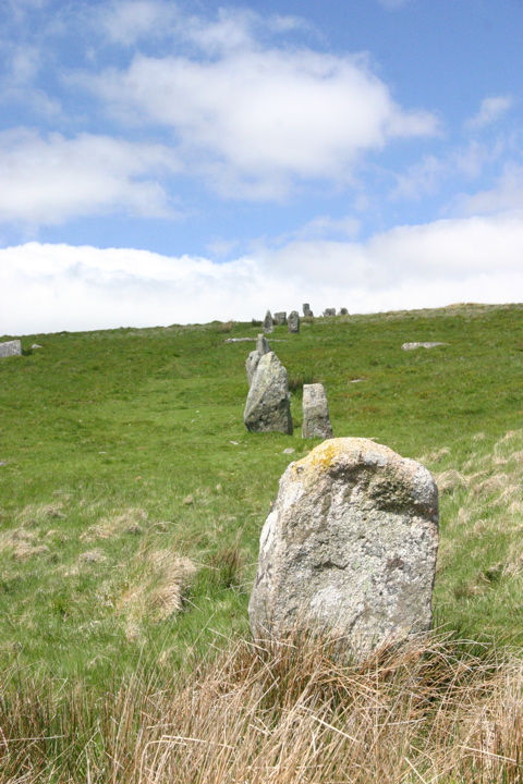
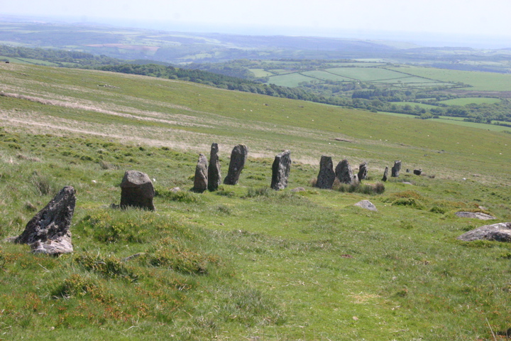
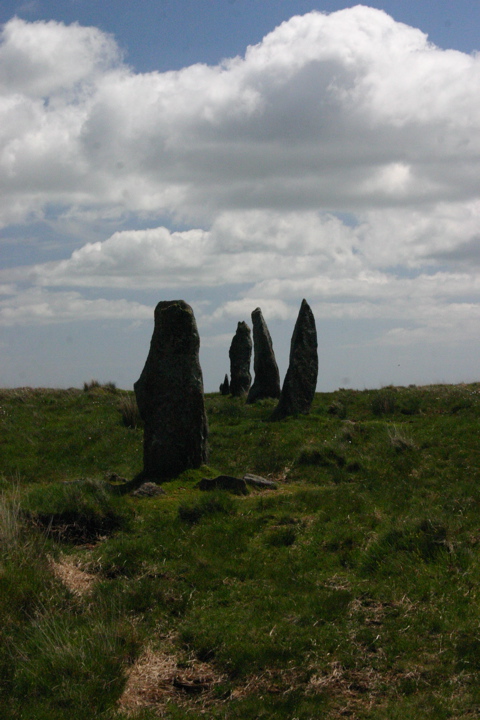
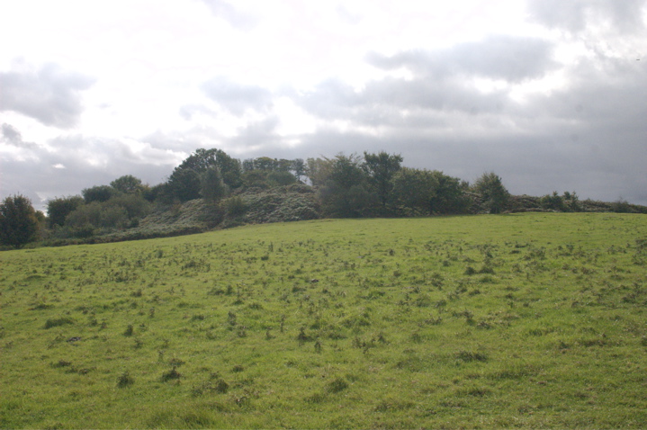
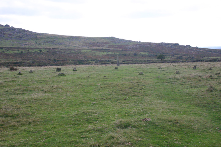
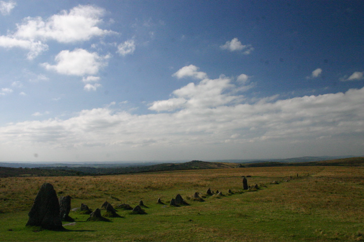
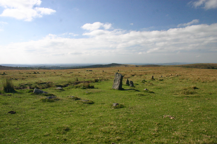
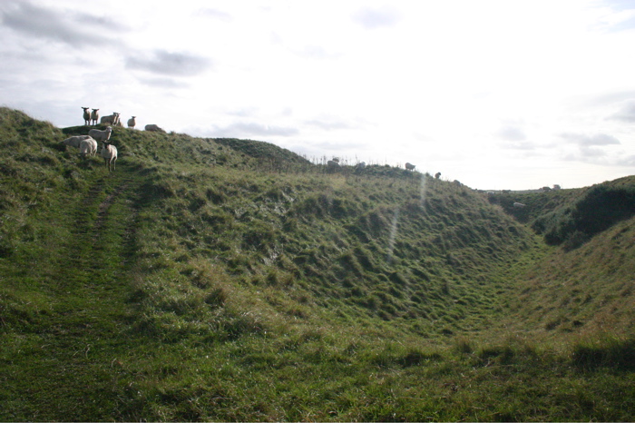
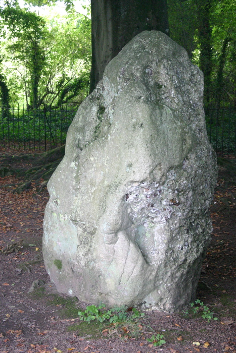
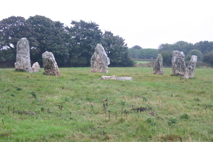
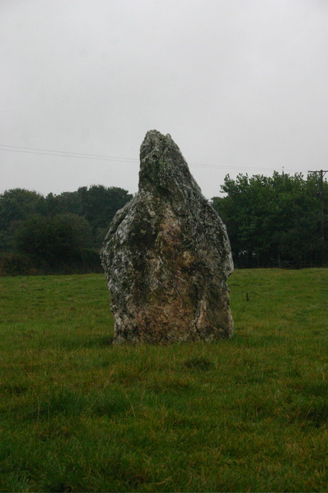
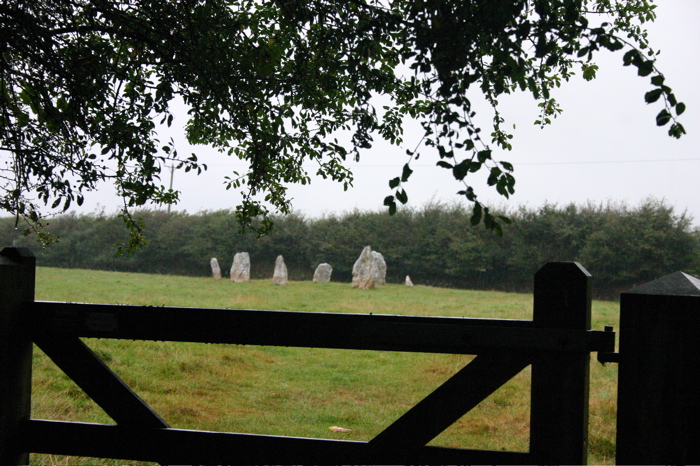
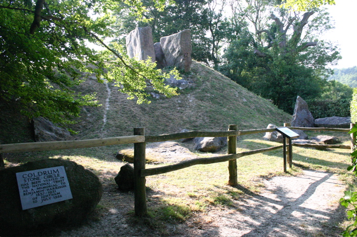
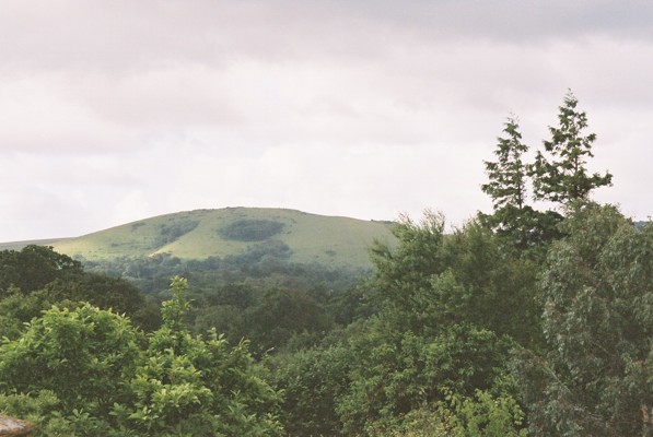
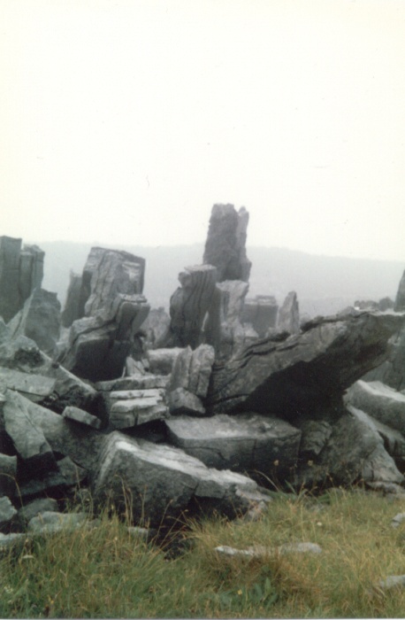
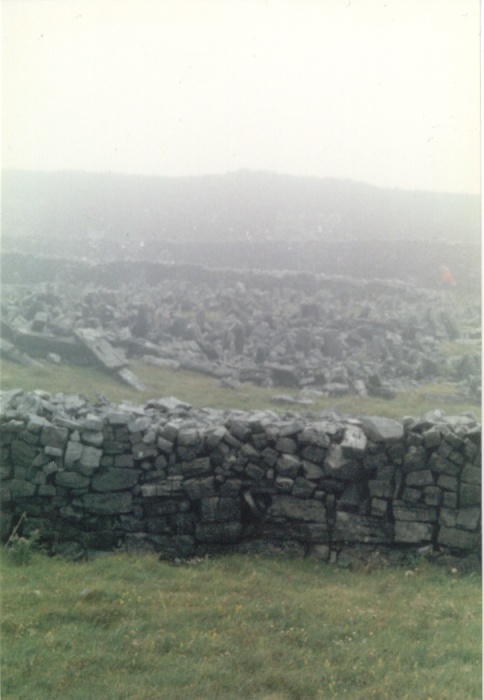
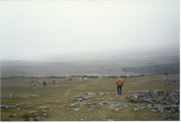
AKA The Cornwood Maidens.
We parked at New Waste (SX 625 611), having come off the A38 at Lee Mill, followed the signs to Cornwood, turned right out of Cornwood, left then right out of Torr and followed the road to the very end. You can park on the moor side of the gate where the road ends.
Then on foot, follow the concrete track up to the water treatment works, turn right to circle the water works, cross the brook and turn uphill to find a stile over a dry stone wall to give you access to the moor. The stone row is visible on the skyline.
|
  
|

|
From reading Jimit's post below I get the feeling he parked at the first entrance to Dumpdon. Continue another 100m along Dumpdon Lane and there is an another entrance on the left (not that obvious until you get to it and assuming you're travelling north).
This splits in two, to the right is a farm track. To the left is a proper parking area with a small visitors board and the footpaths around Dumpdon Hill marked on a map.
If you go a short way up the farm track and through a field gate you can enter a field and from there walk across pasture up the steep hill to the northern entrance of the hillfort.
Of course this wasn't the route we took... but set off up the path from the car park and headed south, circling right around to the other side of the hill before we could find a way up. The path became indistinct at this point, but the side of the hill here had been recently mowed so it was possible to walk up and enter through another entrance into the hillfort.
As per Jimit's post, the views out aren't that good due to the southern end of the hillfort being planted with trees. The best outlook seemed to be from within the enclosure near to the triangulation point pillar.
|
First visited 19th June 2004CE.
We found no evidence of the car park marked on both the OS Landranger and Explorer maps on the north side of the fort.
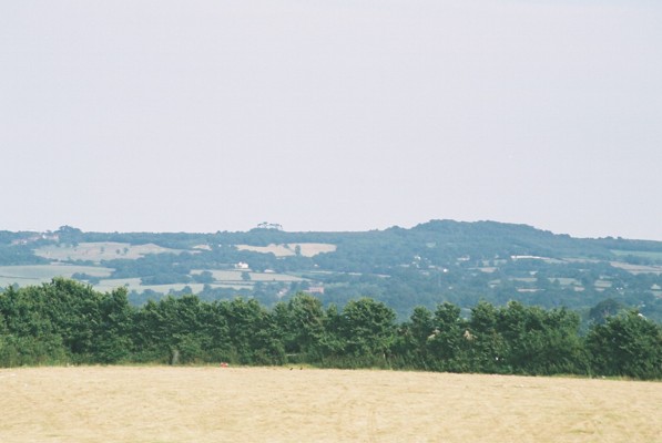
The enclosure is bisected by the B3179 and there is a car park on both sides of the road on the southern side. The one on the eastern side of the road is right up against the ramparts so you can't miss the fort from there.
If you cross the road to the car park opposite there is a fantastic vista at SY031872 that overlooks the Exe valley estury, giving views of Exeter, Exmouth, and Dartmoor in the distance. Well worth a short walk.
|

|
  
|
 
|
 
|

|

|
  
|
  
|

|
 
|
Page about Woodbury, includes an extract from Aileen Fox's "Prehistoric Hillforts in Devon", and a link to the Clinton Estate pages, which also have a page about the castle.
|
To access Dolbury park at the Killerton House car park (see link below), go through the gardens around the front of the house, and follow the path upwards. Whilst climbing the hill passing the sequoias, there is clear view to the south of Woodbury and the nearby barrows distinctive on the horizon. You eventually get to the top of the formal garden and go through a gate in a metal railed fence.
From what I can recall from the information boards at the top, Dolbury is on the top of a volcanic outcrop, the inner embankments are older than the outer enclosure and the main entrance was on the northern side. The eastern side didn't have any embankments to protect it due to it's steepness. The site has never been excavated.
A possible origin of the dragon myth is that it was created to protect from looting sacrificial offerings made to its well. The existance of the dragon could never be disproved due to the fact that no matter which you visited, either Dolbury or Cadbury Castle, the dragon would invariably be at the other!
|

|

|
Bournemouth University site contains some photos, plans and summary of its archaeological history.
|
Dolbury is in the grounds of Killerton House, owned by the National Trust, this site has details of opening arrangements, transport links, contact details etc.
|
The hillfort was built around 700 BCE and was a northern outpost of the Atrebatic tribe, it shows no evidence of having been stormed by the Romans.
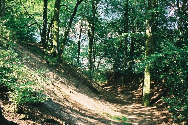
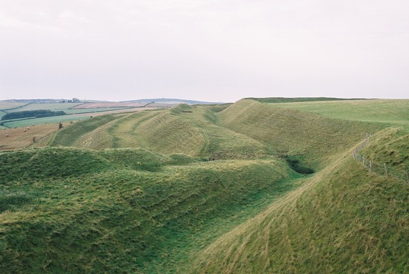
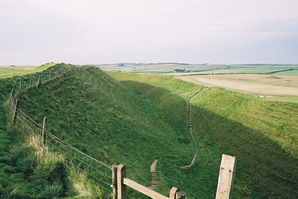
It consists of an inner bank, ditch and counterscarp with an extra ditch and bank around the southern ramparts where the approach to the fort is flatter.
The ramparts are breached in five places, only two (the east and west entrance) are thought to be original, corresponding to inturned ramparts. The southern entrance may have been created at the same time as the Queen Anne Gully (cut in 1702 for Queen Anne to ride through from Nine Mile Ride), the northern and north-eastern entrances are of unknown age.
There are several non-original earthworks inside the enclosure including the remains of a 19th Century Game-keepers cottage (now demolished), old gravel pits, and small hollows inside the southern ramparts possibly relating to the use of the area by Canadian and American troops during World War 2.
The enclosure was planted out with coniferous trees during the 1950's which have now been cleared and replaced with heathland plants. Parts of the ramparts have also been cleared of deciduous trees and sown with grass to minimise erosion.
Source of information: "Ceasar's Camp: Bracknell's Iron Age Hillfort", Berkshire County Council, April 1991.
|
 
|

|
|
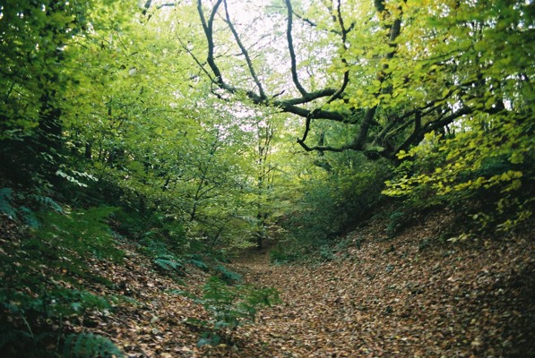
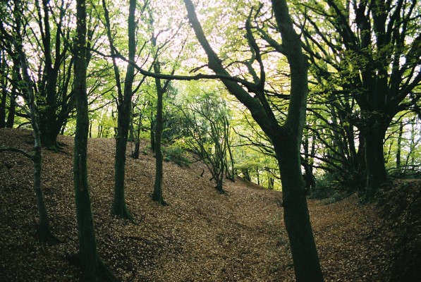
Ceasar's Camp is best approached from the nearby LookOut Visitor centre by following the marked route through the woods. The outlook isn't particularly brilliant due to the coniferous plantation surrounding it.
|
  
|
[Thanks, Green Oak, for the updated link. TMA Ed.]
|
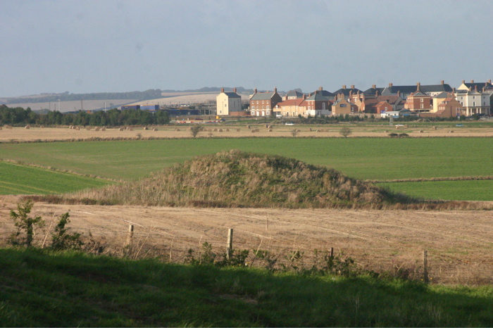
This Bracknell Forest Council site contains a link to a PDF of their leaflet for the barrow.
|
| |