|
 
|

|
 
|

|
  
|

|
 
|

|
                
|
 
|

|
|
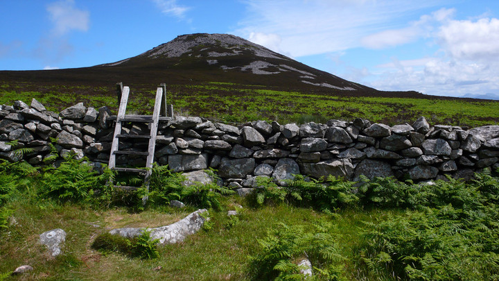
A solution to the long walk is too drive up the little lane up to the church ( there's a small parking area for the church so park thoughtfully) then walk along up the farm track beneath the hill it rises though. keep on it till the fort appears on the right about a half a mile away. There is a house platform to the left, but little can be seen.
|
|
I've visited Porth Dafarch since I was a child, and have only just noticed this settlement. Thanks for bringing it too my attention, when noticed, they are clear to see, just off the country road junction. They are not noted on the Ordnance Survey maps of the area, and seem to be overlooked.
|
 
|

|
|
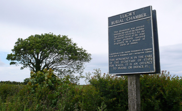
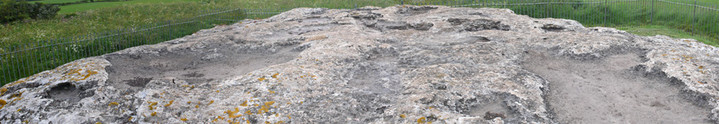
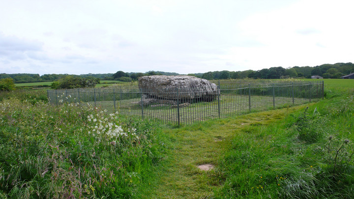
Great place to visit, well maintained, the capstone is an incredible size and tonnage - new info boards here guessing how they did it. Just down the lane from llugwy is the ancient iron age village (4th century settlement), follow the road up and it's on the left, follow the field across past the ruin of a 13c church.
|
|
I tried to get there in December 2007 but the road is now shut (access only). I spoke to Cadw about the work in the area immediately around the site, and they inform me in is totally within the law but does worry them. Me too. Shame.
|
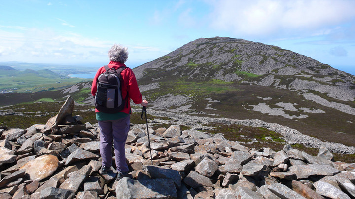
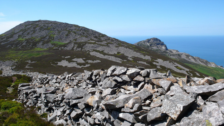
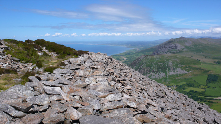
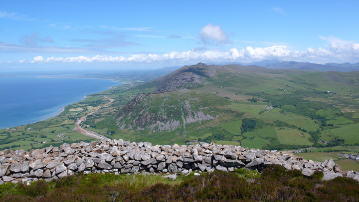
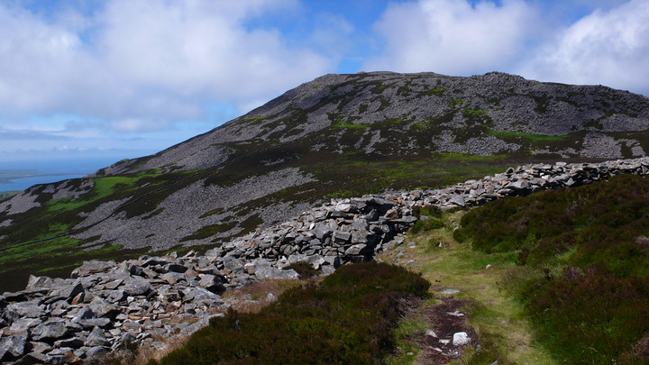
Alternative route to Tre'r Ceiri, carry on the road to Llithfaen, in the village take a right as if going to the welsh language school, after a few old cottages on your right you can park on the left, in a nice car park with picnic tables. Facing out of the car park you here take off across to Tre'r Ceiri, it's a good approach to this fantastic example, keeping left form the bridle way, then cross a stile over a fence and then another over a wall near a farmers trailer and head up to it across the heather.
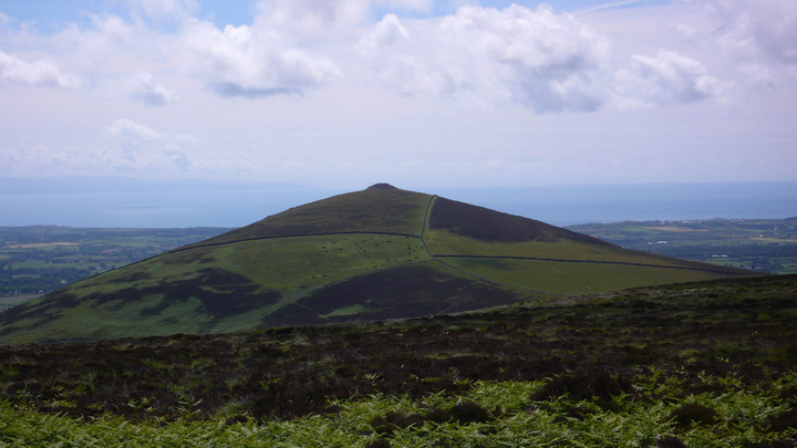
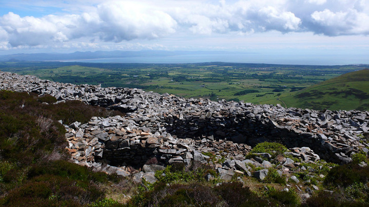
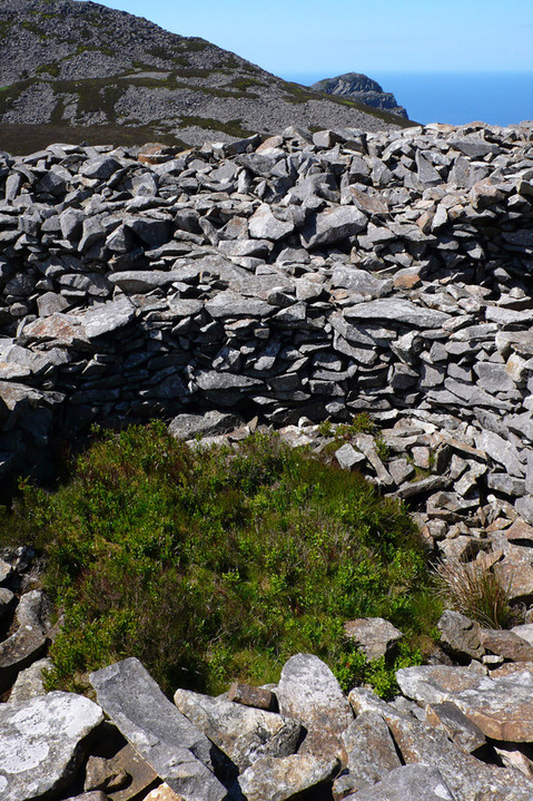
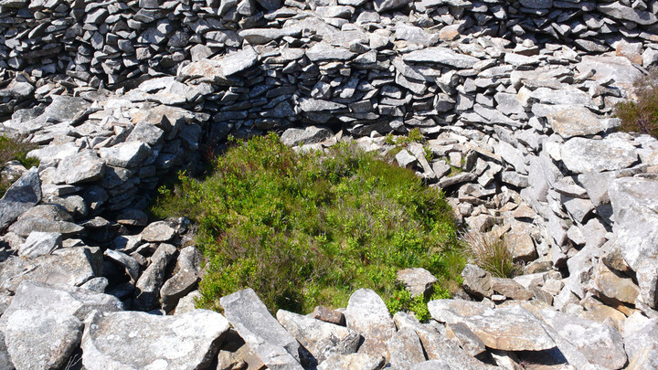
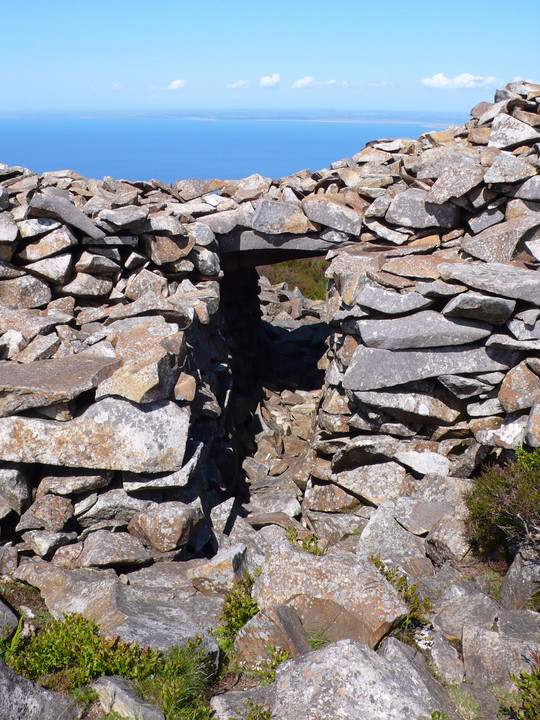
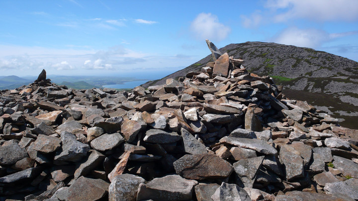
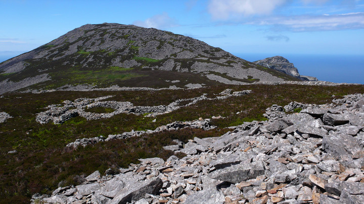
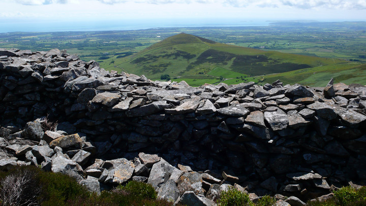
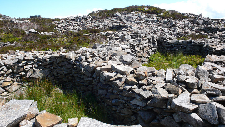
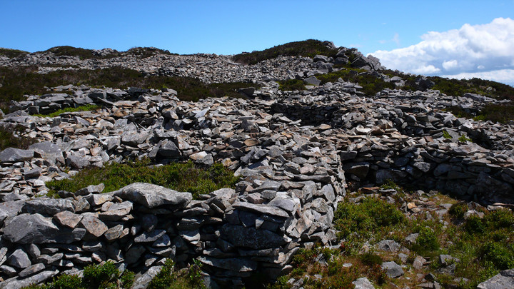
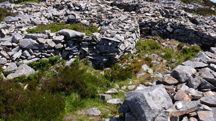
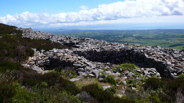
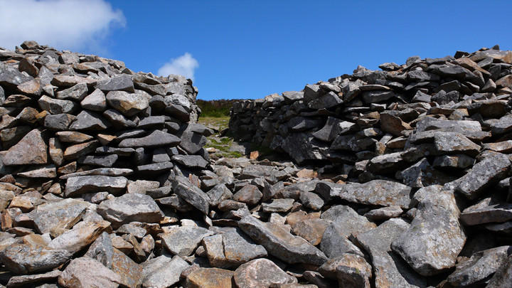
There's stunning views from this location. With over 150 huts, and in places 15 foot high walls it's well worth the walk up. We stayed for two hours and had it to ourselves. You can then come back on yourself and go up Yr Eifl with its ancient cairn, this pre-dates Tre'r Ceiri ( although there is a bronze age cairn on Ceiri-pre-dating the hill fort) the top of the cairn takes up most of the summit but has been disrupted, it's worth the climb if you have the energy left.
|
|
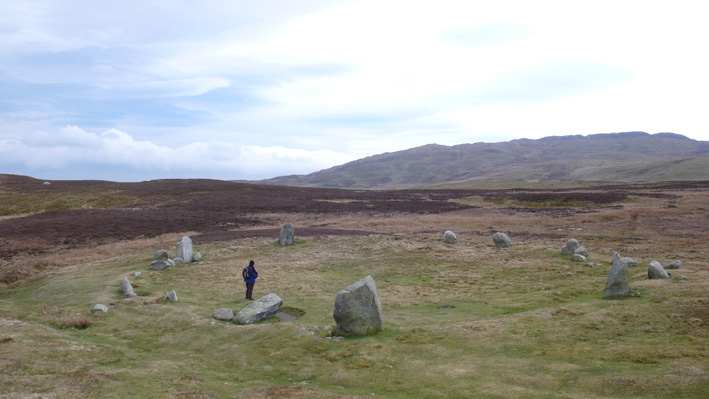
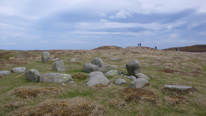
There are smaller cairns all over this area. Beyond the hill near the stones, on rough ground can be found the sight of a WW2 plane crash (the Bachelor Baby).
|
|
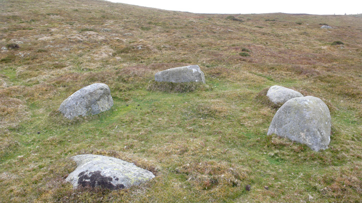
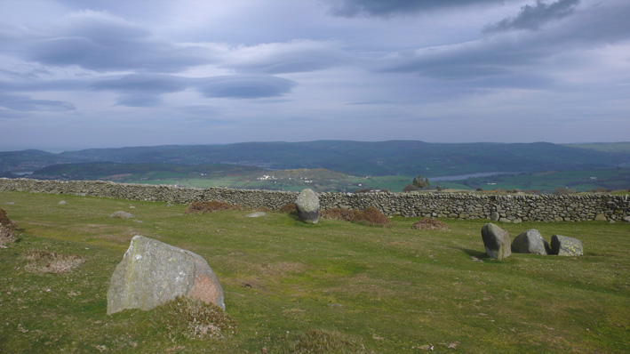
The hill in front of these (a small mound form this angle) was a place where three witches apparently met.
|
|
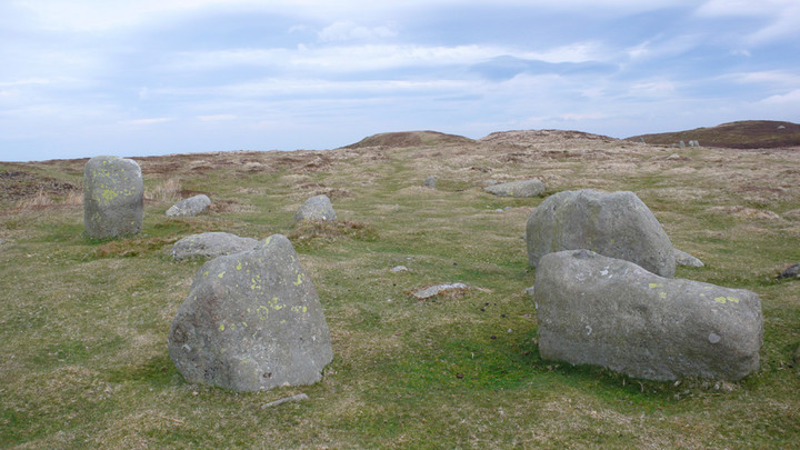
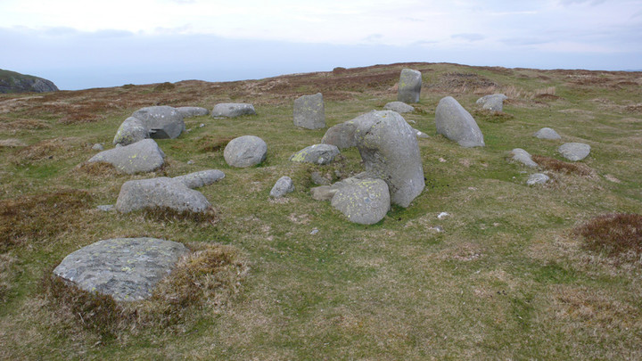
The collection of stones can be found just a short step away form the main circle, if you're setting off to walk across the moor on a small track in the direction on Tal y fan, in just a minute you will go through these stones.
|

|
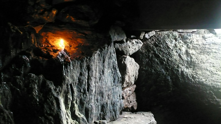
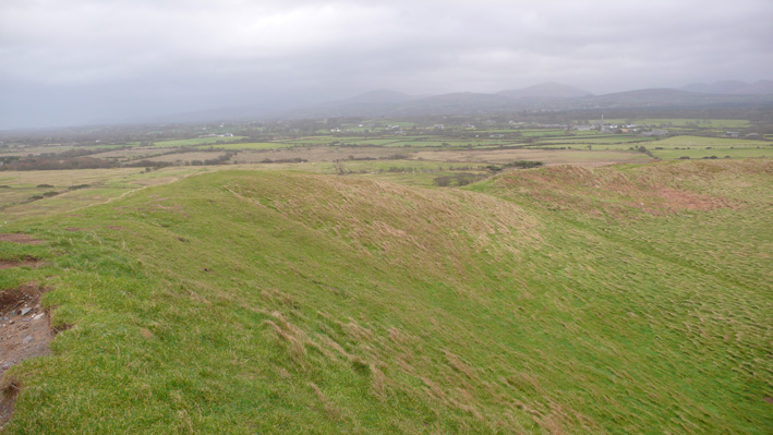
On the badly eroded path (on the side) there seems to be a lot of rusty metal, as if a metal rail had ran up it. There is a path running around the side of the hill to the original entrance.
The hill was out of bounds for a while because of the eroded front, which is still unstable.
Also at the base (behind the trendy lovely new toilets) there is an old WW2 pill box.
|
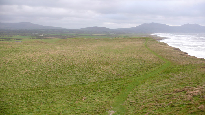
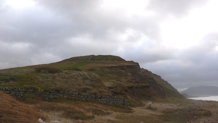
December 07. Very windy, stormy day, as I went up the side of the Dinas I was nearly blown over! I thought the top would be an anticlimax to all the effort, but it wasn't. It's an excellent example. The unfortunate thing is the front of the hill fort has eroded into the sea, about a third is missing. The defensive bank is still very visible and the original entrance is clear. There are great views across the mountains too.
NOTE: the front of the hill is badly eroded and still falling into the sea, so be careful.
|
|
| |