The quarry, quarrymen, quarry machinery - been there, done that, bought the t shirt. Well, I would have done so, but they don't sell t shirts when you're in the middle of a blizzard!
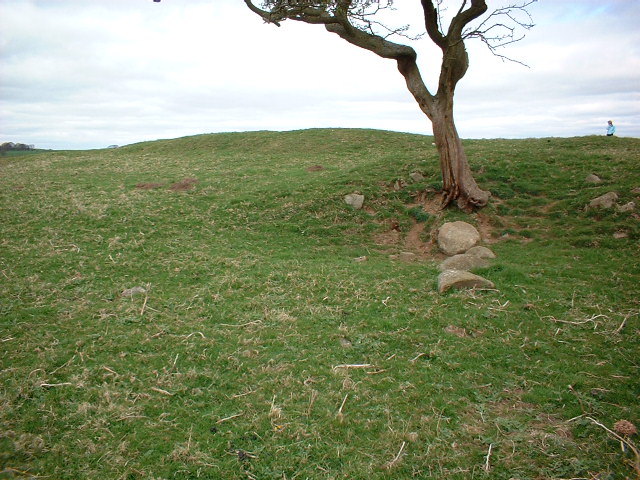
This is a delightful circle. Not easy to locate, but well worth the effort. From the trig point you can see two parts of the same wall, split by some undulation in the terrain. Focus on the part of the wall that you can see to the right, specifically on the leftmost part of that that you can see. Then head towards it - easy.
Just to the right of the circle is a substantial dip. It's not clear whether this has been quarried or what function it might have performed.
|
 
|
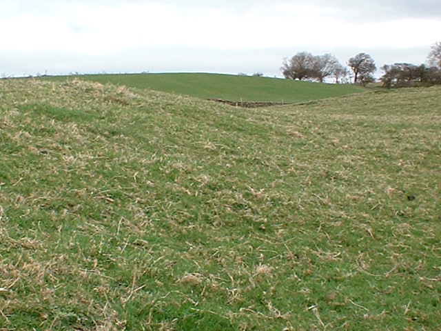
The trouble with tractors is that they move! The blue tractor (roller) is still there, but there was no sign today of a beige one. Following the track north, take the left fork when it bifurcates, and follow it for about 20 yards into the landfill area. Leave the track and walk over to the left, in the direction of the farmhouse - you'll find the stones quite easily.
It's a small, but charming site. (I don't agree at all that it's a sorry site. Yes it is next to a landfill. Just look the other way - it's lovely.)
I wonder whether the summit of Pendle Hill has some importance here - signalling sunset at the summer solstice perhaps??
|

|
   
|
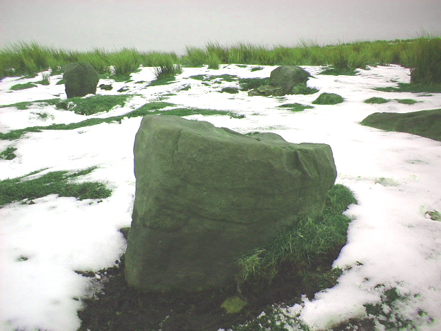
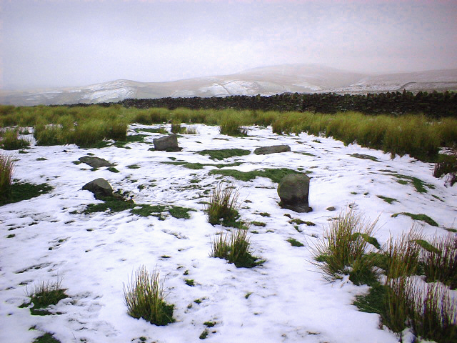
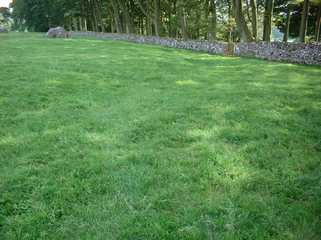
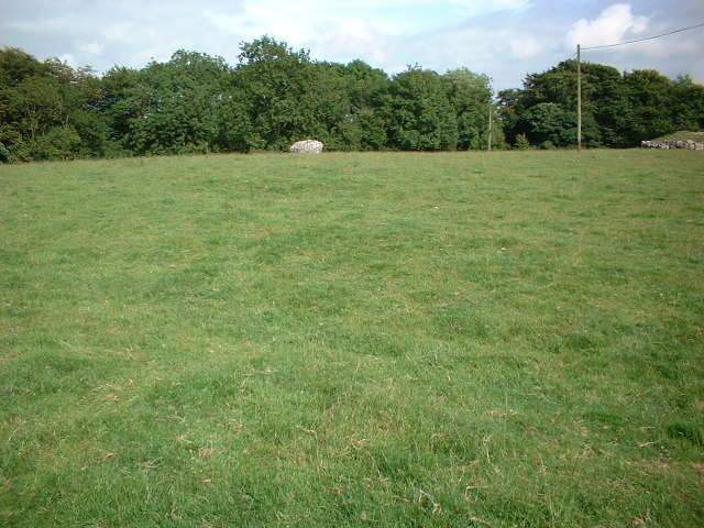
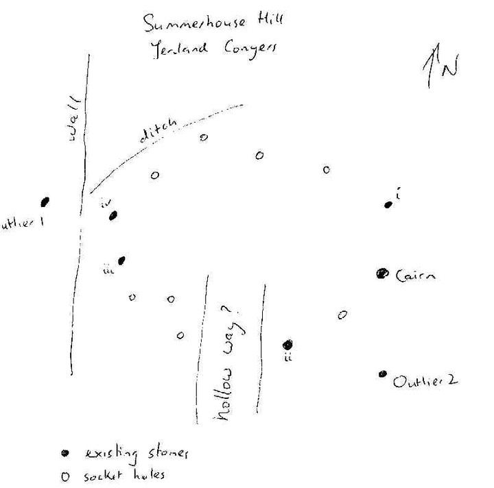
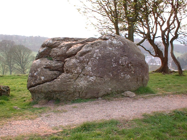
My second visit was much more successful. There are 4 remaining stones in the circle plus the large cairn. The stones are located as follows:
(i) immediately north of the cairn
(ii) south west of the cairn
(iii) and (iv) on the opposite (ie western) edge of the field to the cairn, immediately in front of the stone wall - I shall refer to iv as the more northerly of this pair
Two further large stones are confusing outliers - one of these is south of the cairn (about 50 metres ESE of stone ii), and the other is just the other side of the wall to stones iii and iv, though a gate.
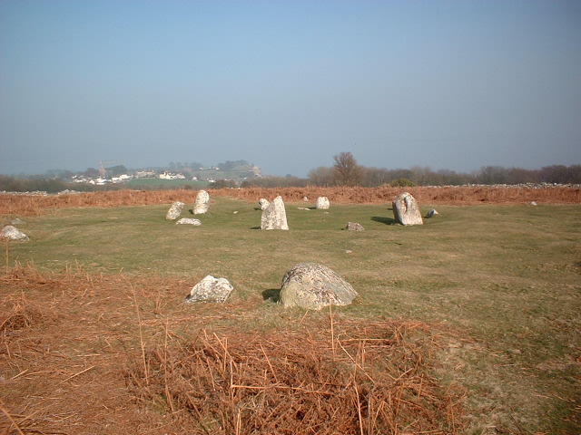
What makes it clear that this monument was a true stone circle is the presence of numerous socket holes which clearly housed further large stones. These are particularly clearly visible between stones i and iv. Just to the north west of these are traces of a shallow ditch which seems to have partially encircled the stone circle itself.
Running in a southerly direction from the centre of the stone circle, and just west of stone ii, extending about 100 metres south beyond the perimeter of the stone circle itself, appears to be a hollow way.
The sheer scale of this circle makes it harder than most to understand. It must be about 150 metres in diameter, and the slight rise in the middle of the circle means that not all the stones are visible from all viewpoints. Once you get the hang of it, this is arguably the finest remaining stone circle in Lancashire. The stones themselves are huge, and it's a pity that no more of them remain. The location is fabulous.
|

|
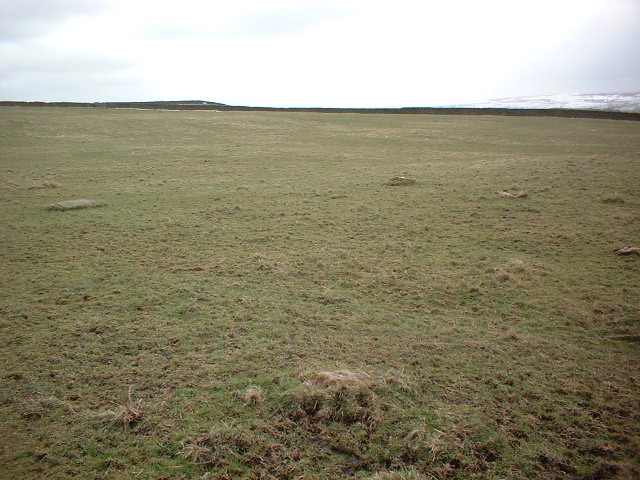
The substantial cairn, described as a bronze age barrow in the scheduled list, is located in a field along with several extremely large stones which form neither a circle nor an alignment. I too went in search of a circle (this is referred to in ARCHI and the scheduled monuments list at MAGIC), but came to the conclusion that the grid references each referred to one of the large stones. Some of the stones appear to have linear carvings on them (possibly more recent or the result of weathering, but teasing nonetheless). Views over Morecambe Bay and down towards Leighton Hall and Moss are spectacular.
|

|
     
|
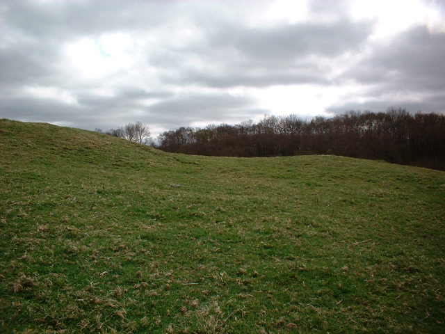
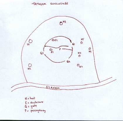
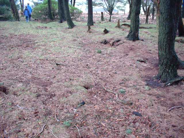
What a fantastic site! We visited on a nice spring day, accompanied by the sounds of woodpeckers, golden plovers, lapwings and oystercatchers. The site itself is easily seen from the Wray to Wennnigton road, but we asked permission at Tatham Hall and walked up to the field itself. There we found a site that is in remarkably good condition for a prehistoric remain of this type.
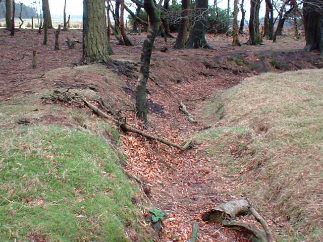
There is an outer ditch aound three sides of the site (the stream completing the round), and within this there are several raised circular platforms that were presumably the site of huts. We counted at least 7 of these (though the blurb on the English Heritage list of scheduled monuments notes only 6).
The inner area is surrounded by a wall (stone and earthwork) which averages about a metre high - quite remarkable. There are three entrances, and the inner area is divided into two by a further wall. There is an intriguing passageway about 10 metres long that links these two inner areas - very clearly defined. There are two small enclosure areas (kilns? ovens?) within the inner area, one each side of the dividing wall. The inner area has a diameter of about 50 metres.
Outwith the outer ditch there are numerous other earthworks of undetermined vintage, including some possible kilns.
The site overlooks the rolling countryside of the Wenning valley, with views towards Hornby Castle and the hamlet of Tatham.
|
 
|
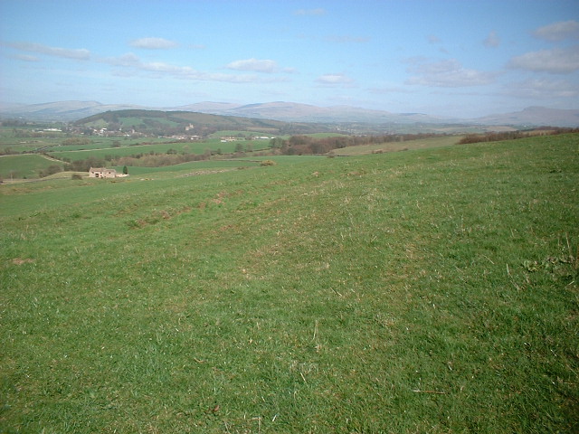
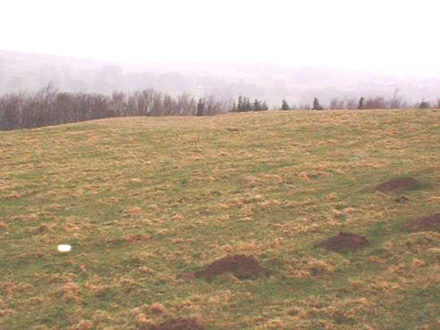
A site with fine views over the Lune Valley and towards the three peaks of Yorkshire and the Howgills. The site consists of a circular enclosure; two ditches form concentric circles around the central area, in which a couple of hut circles are evident. The outer ditch is incomplete. There appear to be two entrances - one to the south east, the other to the north west. From the latter, a steep track (or hollow way) leads down the hill towards Claughton village. It's quite easy to work out what's what at this site, although none of the ditches is particularly deep.
There's a great walk up the hill towards the Caton Moor wind farm, from which views over the Lakeland Hills and over the Irish sea to the Isle of Man and (on a really clear day) the mountains of North Wales are really spectacular.
|
Inner circle with 12 stones, outer circle with 15, surrounded by ditches and numerous stone alignments. There is also evidence of ancient quarrying nearby, and near the summit, some possible hut sites. Most stones of the circle remain standing.
The view across the Leven estuary out into Morecambe Bay and up-river past Ulverston to the Lakeland hills is sensational. A site chosen not only for its remarkable beauty, however; on the eastern side of this peninsula, it combines the virtue of an elevated position with that of being reasonable sheltered from the worst of the weather.
The various alignments (both of stones within the circles and some key stones outside) are intriguing, and I would love to learn more about these.
|

|
 
|
|
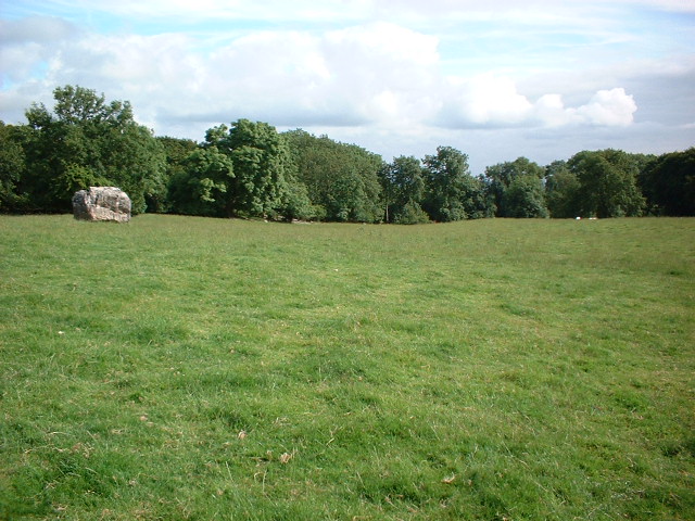
Small but perfect circle of 14 stones set in field overlooking Kirby Lonsdale and the Lune Valley. A delightful site.
|
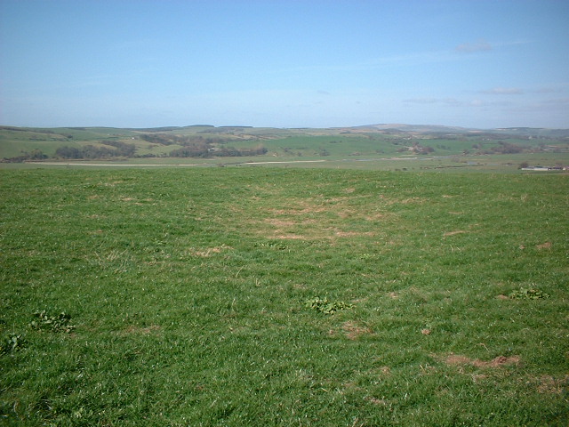
Askew Heights defended enclosure commands an impressive hilltop location overlooking the Lune Valley. A modern wall, serving as the boundary between Heights Farm and Askew Hills Farm, bisects the site, the entrances are just on the Akew Hills side of the wall.
I was welcomed to Heights Farm by a pleasant, but rather bemused, farmer - I was clearly the only visitor ever to come to the site other than English Heritage, who visit about once a decade! So what can be said? The site dates from between 600BC and 400BC and comprises a mound surrounded by a ditch. The latter is up to a metre deep and 5-10 metres across. There is a small pond just on the Heights Farm side of the modern wall (site of a hut, perhaps?). The northern and southern entrances to the mound are clearly visible, and take the form of the ditch levelling with the surrounding terrain. The shape of the enclosure is oval, with maximum dimensions of about 80 x 65 metres. A hollow way (or track) leads down the hill, in a westerly direction from the southern entrance. Once you know where the defended enclosure is, it's clearly visible from some distance, and from below it is evident how good a strategic position it occupied.
The kind farmer also pointed out to me the likely site of a prehistoric burial mound nearby at SD53386234. All in all, this is a pleasant site - good for its solitude and sense of history - if modest and unspectacular.
|
Sheltered by the handsome rolling hills of Hazelhurst Fell, Fair Snape Fell, and Parlick in rural Lancashire, with views across the Fylde toward the North Wales hills, this site is in a lovely location. The site itself is located in a small copse surrouded by farmland. The site comprises an inner circle, which dates from Bronze Age (2000-700BC) and an older outer circle (4000-2000BC). Eleven timber posts from the mound within the inner ditch have been replaced by concrete.
The outer ditch is easily discernible, and several post holes, each almost a metre in diameter, can be seen clearly. The inner ditch and entrance area are clear, and the orientation of the grave at the centre of the mound can be made out. An intriguing stone is placed near the entrance to the inner area.
Special permission is no longer needed to visit the site - a concessionary footpath has been opened. But note that wellies are essential.
|
Based in Lancashire.
|
|