Showing 1-50 of 260 posts. Most recent first | Next 50   
|
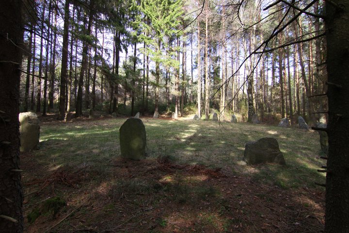
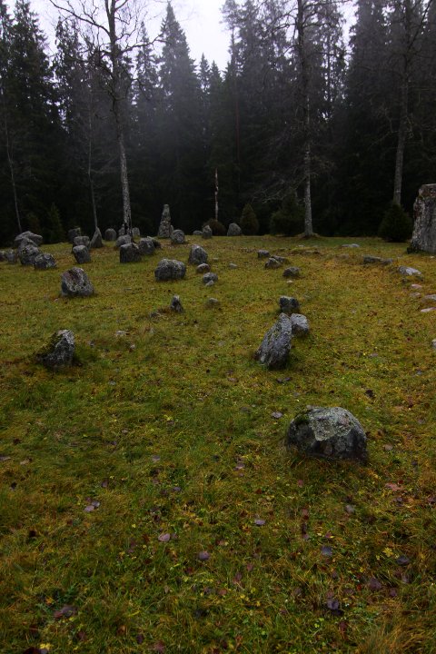
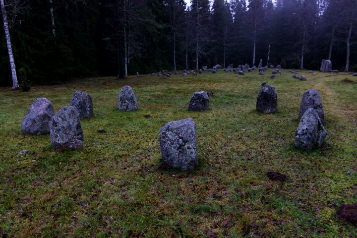
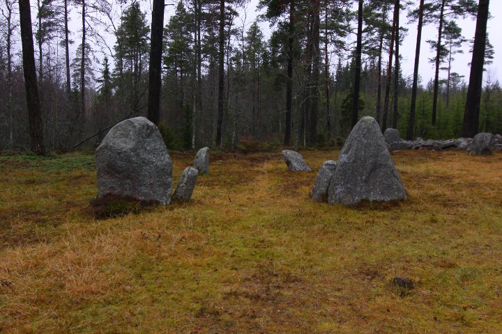
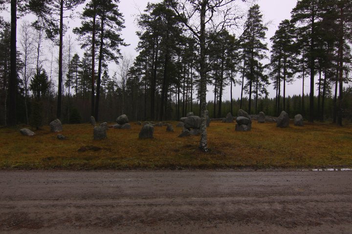
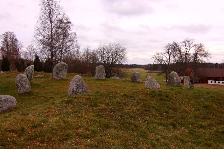
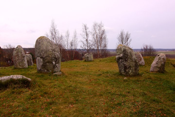
This stone circle (judge's ring) is 18 metres in diametre
and consists of 22 stones, which is between 0,6 to 1,2 metres high.
I the centre of the circle there is a low stone.
During a examination and restoring project in 1940, a burnt
human was found in the centre, together with a cup made of glass,
a sharpening stone and a comb made of bone.
Infoboard on site in Swedish, English and German.
The stones itself can't be seen in GE, but you can see a
circular clearcut in the forest north or the road.
How to get there
From the museum of rock carvings at Vitlycke, drive for 8,6 kilomters
southward, on the tarmac road west of the museum.
Turn left onto the gravel road where you see the
'sightings sign' and drive for 1,9 kilometres,
and the site is on your left
|
     
|
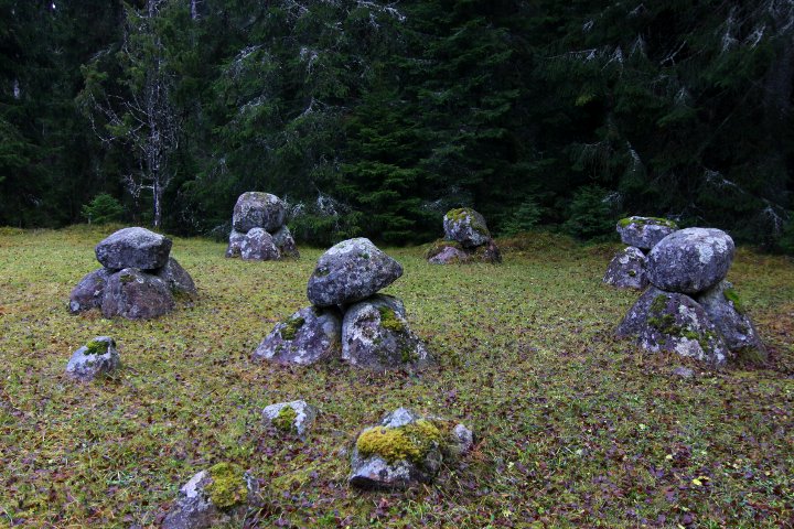
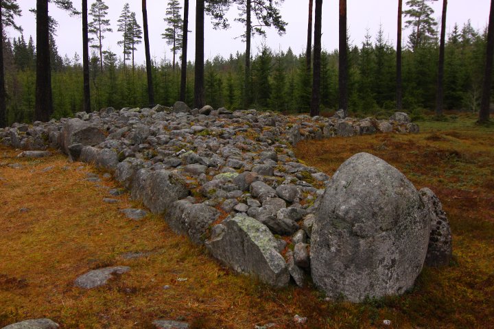
A long time ago, a band of scottish raiders arrived in Tanum, and
traveled into the Bullarebygden.
On their way back to the shore, they were attacked several times,
the first time around the church of Tanum. The survivors fled to the coast, and at Prästmyren, one of the chiefs were buried in Valbrets Grav.
The last fight was here at Greby, where the rest of the raiders were
killed and buried.
|
The name Greby gave the nearby village Grebbestad its name.
The first part, Gre, comes from the norse word grjot, which
means 'stony ground'.
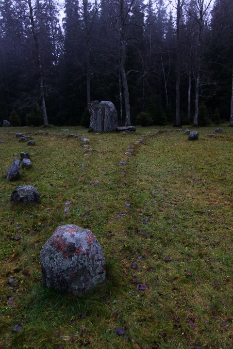
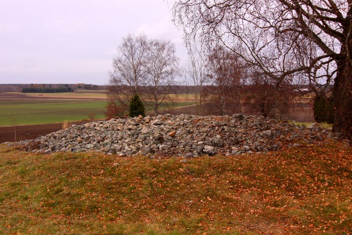
Around 200 elliptic and circular mounds are found here, many of them
with with an erected stone at the top, others with a chain of
smaller stones around the edges.
10 graves have been examined, and it has been concluded that
the field was built around 200-600 CE
There is infoboards on site in Swedish, English and German.
How to get there:
Take off highway E6 and turn into the town of Tanumshede.
When there, turn right onto road 163, towards Grebbestad.
After about 5,4 kilometres (about 1 kilometre before Grebbestad)
you'll find a parking spot to your left.
Park there and walk on the gravel road for 250 metres.
The site can be seen in GE
|

|
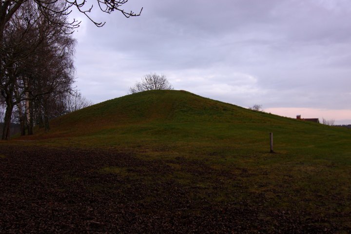
Ledbergs kulle is the area's largest burial mound,
about 40-50 metres in diametre and 6-7 metres high.
There are farms in the area with names that have to do
with the centre of power that existed here during the iron age
No excavations have been made but sample tests indicate that
the mound is from the later iron age (800-1000CE),
and a merovingian gold ring, dating from 500-600CE has been found
nearby. But since large
burial mounds also were made during the bronze age, it could as
well be from that time era.
Info board on site in Swedish and English
How to get there:
On highway E4, take the west exit to Linköping onto road 34.
After about 800 metres, turn right.
Continue on the new road for 4.1 kilometres, then turn right at the blue sign "Ledberg 2".
Continue for about 2.3 kilometres, and the barrow is o your right.
|

|
|
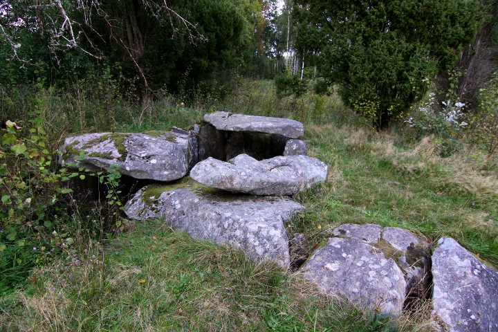
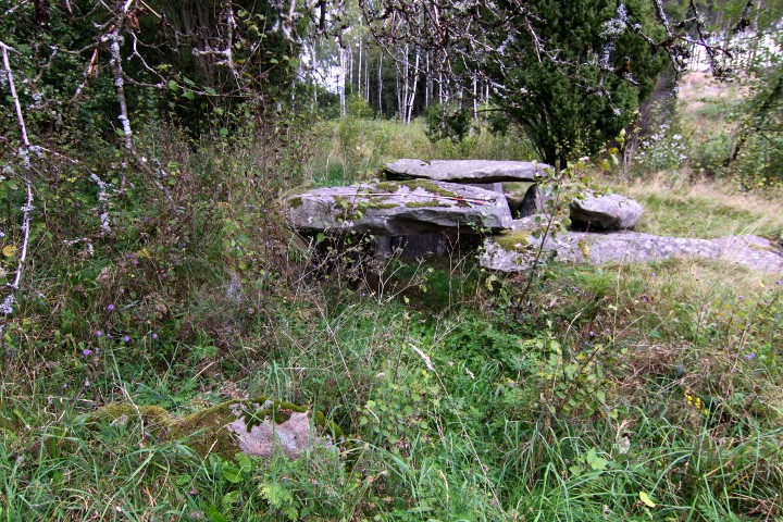
The cairn is about 10 metres in diametre.
|
   
|
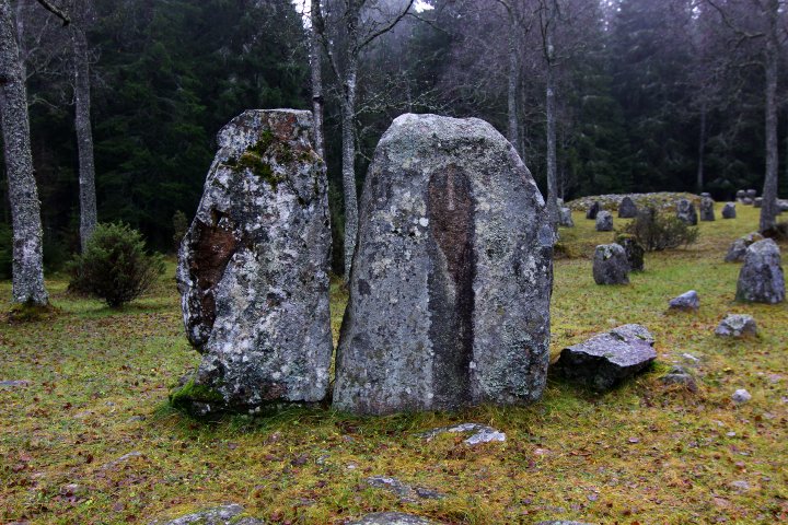
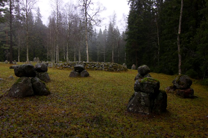
The treudd (tri-radial cairn) is also special, it has 2 big standing stones as center-stones.
The lenght of the edges are about 12 metres, and they point in 72, 108 and 306 degrees repectively.
|
     
|
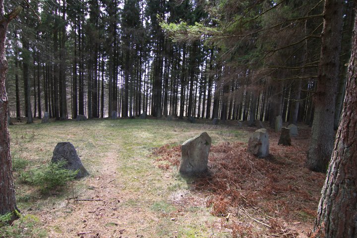
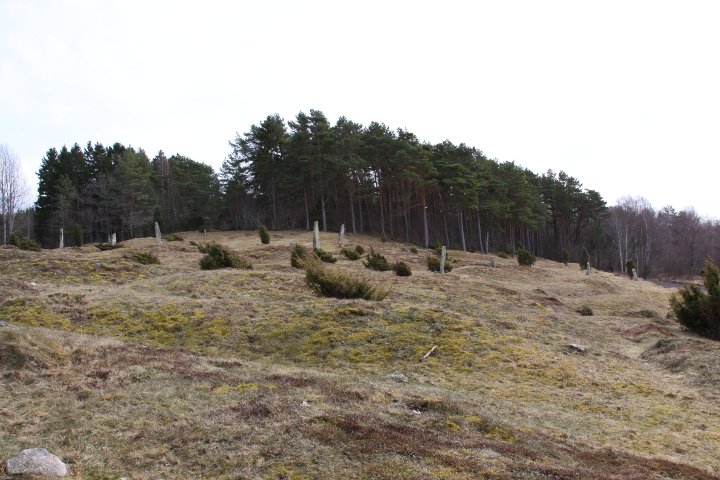
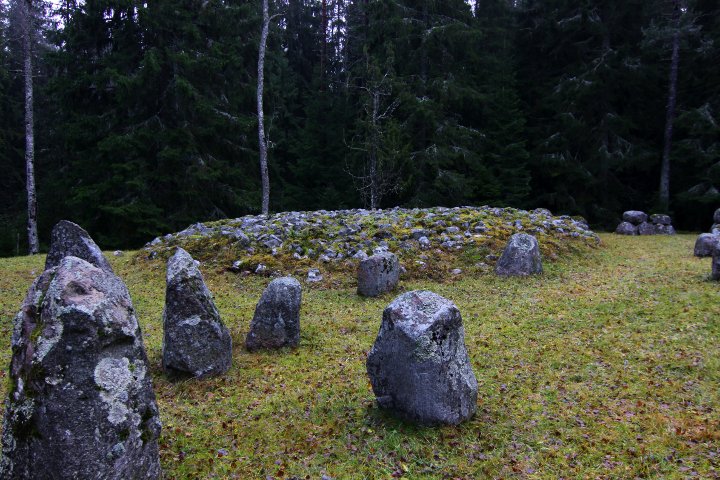
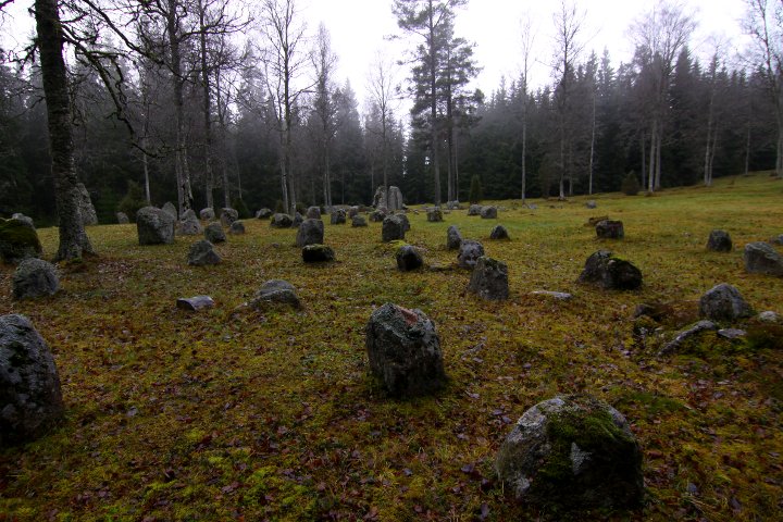
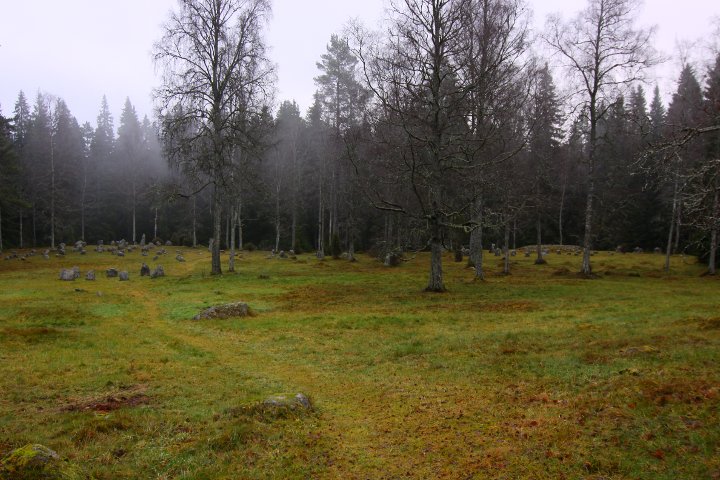
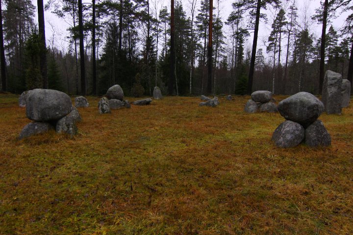
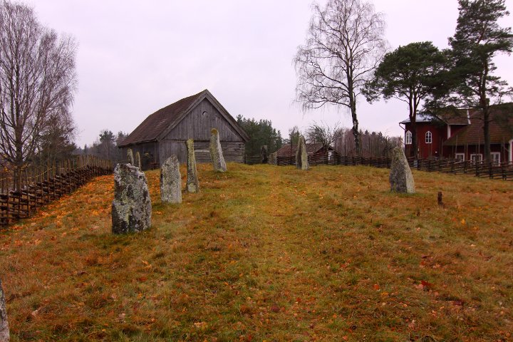
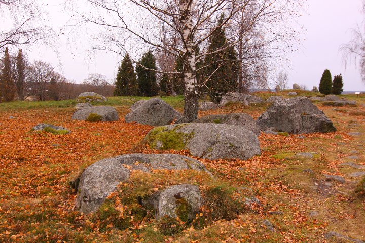
Fagertofta grave field is an impresive one. Of 42 visible graves,
over half of them are stone rings.
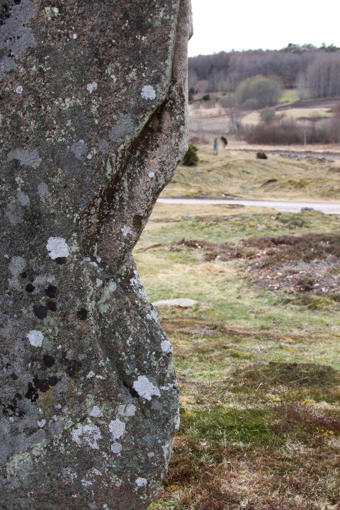
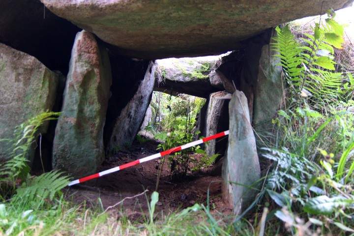
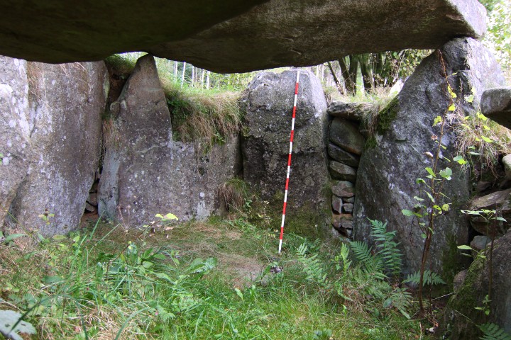
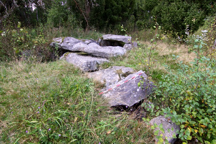
One of the rings is of a peculiar construction of which i have seen only in one place before: Torsa stenar. It consists of 6 'mini-dolmens', with three stones and one capstone each.
The site was restored in 1941-42
The stone rings can be seen in GE
Info post on site in Swedish, English and German
How to get there:
On road 31, take the exit at Nässjö with ths signs "Nässjö C", "Andersberg" and "Solberga" (all at the same exit) and drive northwards for 2.9 kilometres. When you see a white sign "Gravfält 1", follow the sign and turn onto the gravel road.
The last part of the road is quite narrow, i don't recommend to drive it if you have a caravan or a big 'house-car', but it's only a 900 metre walk from the big road, and i really recommend a visit.
|
  
|
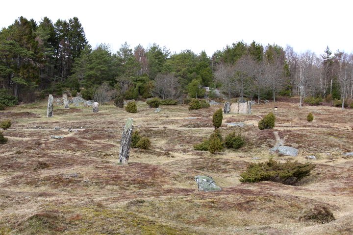
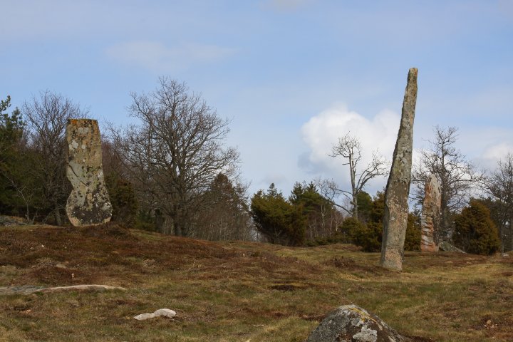
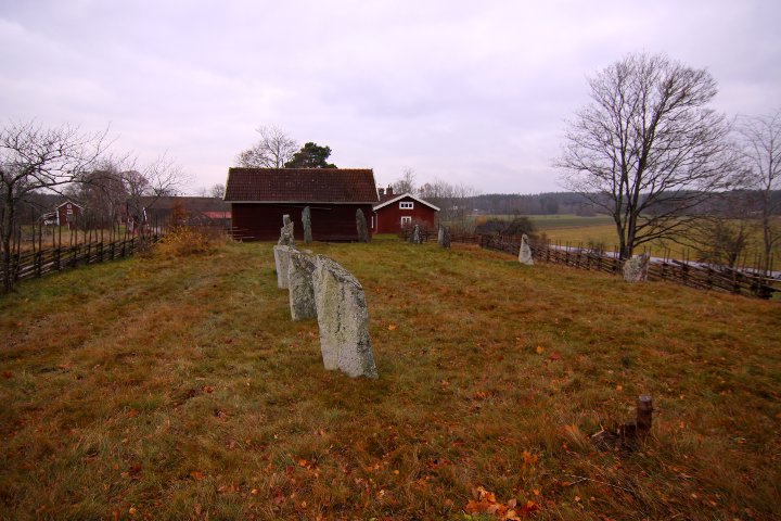
In the same area as Torsa Stenar,
is one of Sweden's largest treudd (tri-radial cairn).
it's sides are 17 metres long, and it points in NNW, ENE and
SSW directions
|
   
|
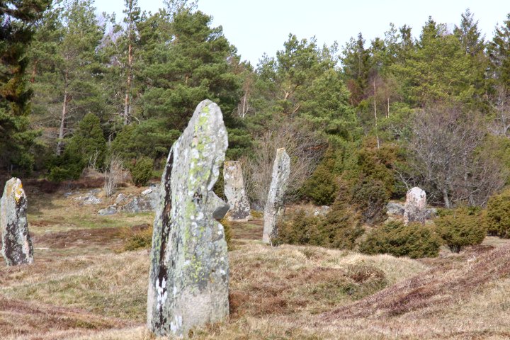
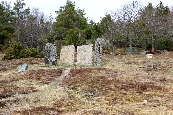
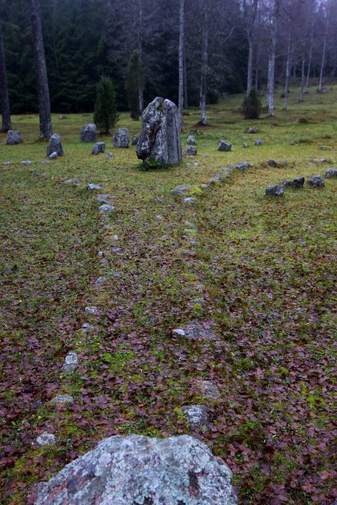
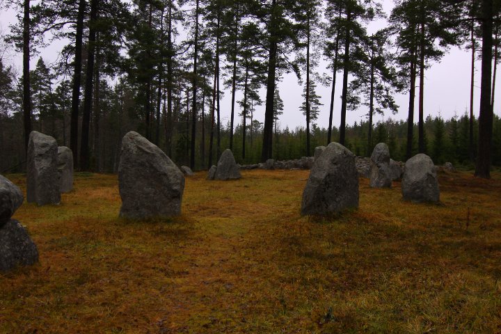
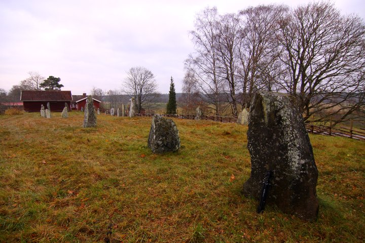
The main monuments on this site are a square stone setting,
with 'mini-dolmens' in the corners. So far, i have only
seen these in one other place, Fagertofta gravfält.
then there are 3 stone circles, 3.5, 7 and 10 metres in diametre.
Directly beside the biggest one are 4 other stones, forming a square,
or a small 'avenue' into the stone circle
The stone circle can be seen in GE
Info post on site in Swedish, English and German
How to get there
Take the road from Nässjö towards Grimstorp and Bodafors.
After about 5 kilometres, you will see a white sign "Torsa Stenar" pointing to the right. Turn and follow the gravel road for 1.1 kilometres, and the site is to your right.
|
  
|
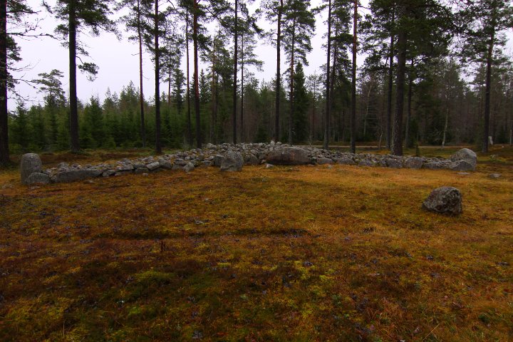
The skibsaetnings in Böckersboda lies on a ridge
along an ancient road.
The first one is 30 x 8 metres, and points in
NNE - SSW direction.
The second one is 17 x 8 metres, and points in
NE - SW direction
They were excavated and restored in 1950 by the county museum.
Each ship contained a cremation grave, measuring
about 50 x 50 centimetres, located about in the centre of the ships,
and contained burnt bones, coal and ash. One grave also contained
fragments of a horn comb and dominoes mad of bone.
These finds can now be seen at the national Historical Museum in Stockholm.
Info post on site in Swedish, English and German.
The ships can be seen in GE
How to get there:
after about 15.3 kilometres north of the north exit to Mariestad on highway E20,
turn right (if you pass the bridge over the Göta kanal channel,
you've drove too far). After 1.85 kilometres, you'll pass the a.m. channel. Turn left after 240 metres and continue for 560 metres,
where you will see a blue sign "Skeppssättning" to the left.
Folow thw signs and you are at the spot.
|

|
  
|
The grave field of Lekebacken were used for a very long time -
the oldest part is the cairn (17 metres in diametre), which probably dates back to 3000BCE,
and the youngest ones is the low earth mounds that is scattered around the area - about 1000 years old.
The graves has not been investigated, so the ages are estimates
made by the Swedish National Heritage board
The stone circle is 13 metres in diametre and consiste of 9 stones,
1.2 to 2 metres high.
Info post on site in Swedish, English and German.
The stone ring can be seen in GE
How to get there:
From highway E20, take the exit to road 51 just south of Kumla,
and drive for about 7.6 kilometres.
Take left towards Kumla, and immediately left again, so you drive under road 51. Follow this road for 300 metres, then turn right
and drive for 1 kilometre. Site and parking spot to the right.
|
Showing 1-50 of 260 posts. Most recent first | Next 50
L-M K hasn't added a profile
|
|