Showing 1-50 of 223 posts. Most recent first | Next 50 
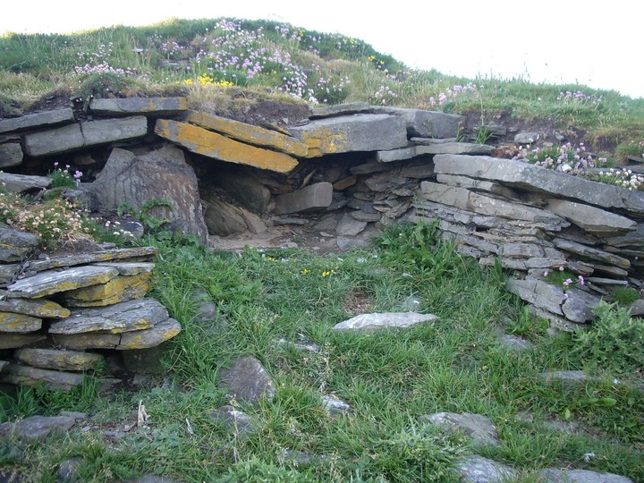
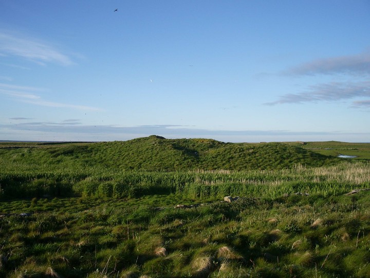
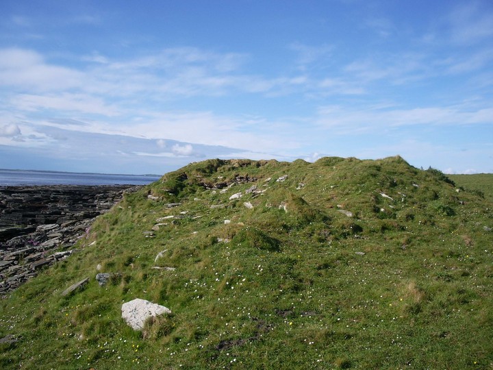
This chambered cairn will be taken by the sea in some years. It is directly situated at the current cliff edge and the weather keeps unveiling more and more of the interior. Perfect nesting ground for fulmars, though. Therefore always approach it from the sea if you want to respect the birds and don't want to be spat at. Luckily they always missed hitting me, so far.
19.06.2012
|
 
|
   
|

|
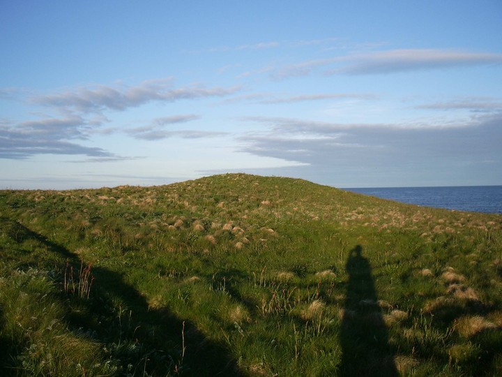
I walked the long way to Mount Misery and all I found was joy.
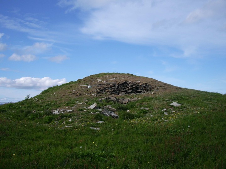
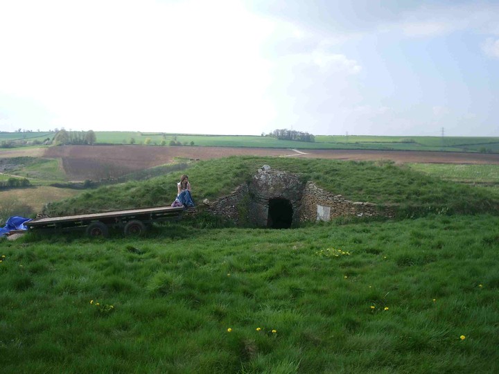
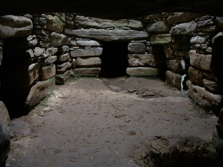
This impressive cairn is meant to be of the Maes Howe type.
It has been used by the lighthouse keepers to store potatoes in the past, so they say.
It is now used by fulmars as a breeding place so when I went I didn't want to disturb my favourite birds too much. Otherwise it would have made as a great resting place.
|

|

|

|

|
 
|

|

|
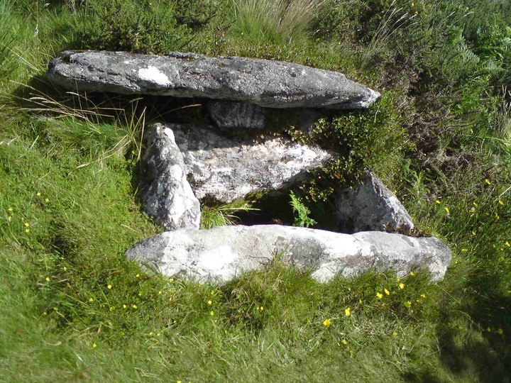
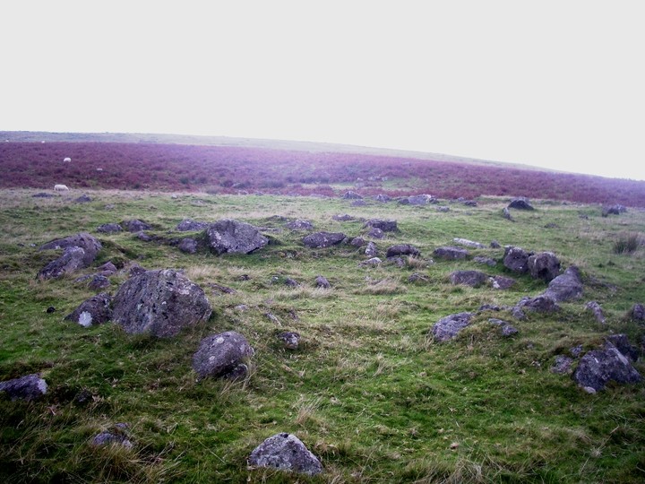
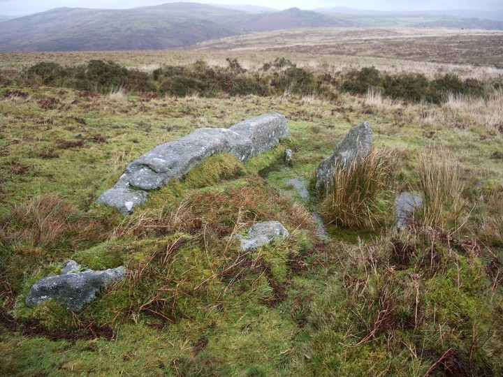
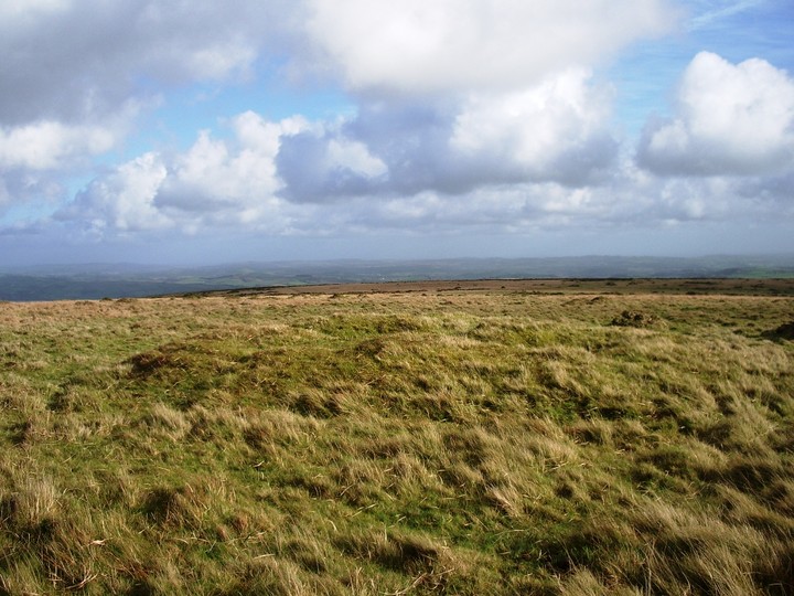
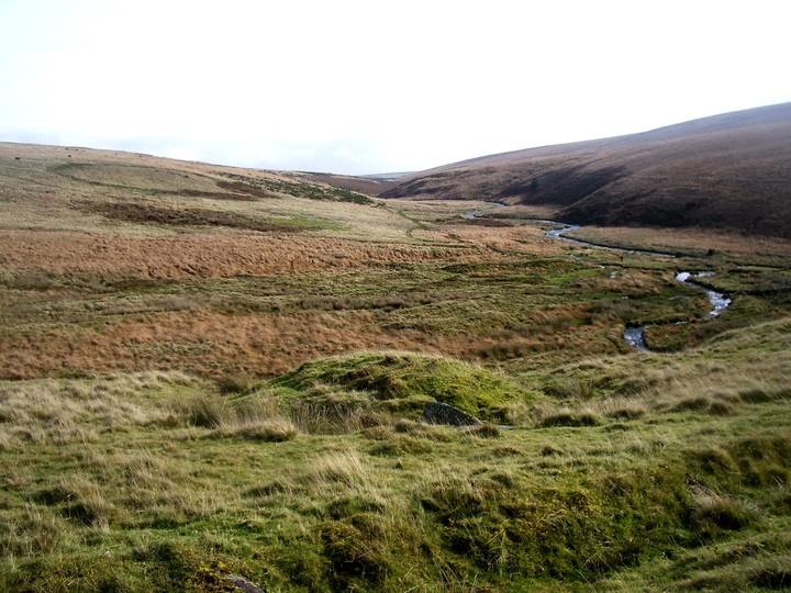
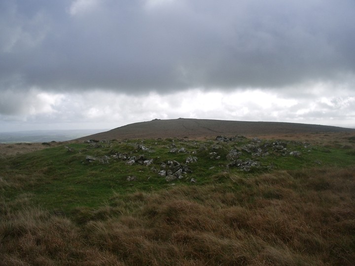
There is a resemblence to the cairns of Harbourne Head. I think that they are connected to all the other cairns around here. On the summit there are 2 cairns about 45m apart with a 3rd one about 400m to the East.
Of the summit cairns the South-Eastern one measures about 10m, the other about 17m.
|
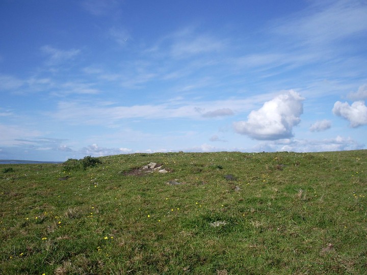
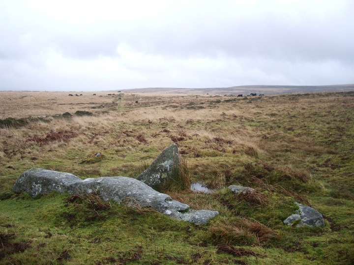
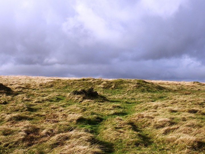
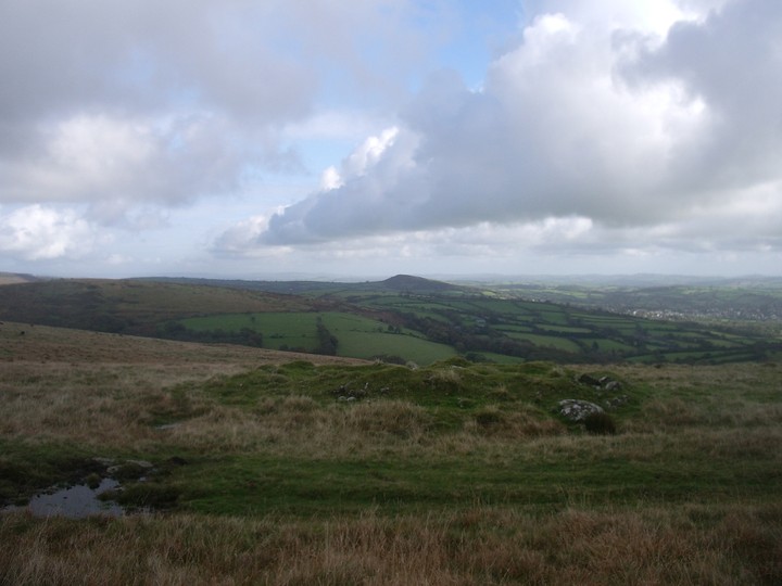
There are quite a lot of cairns in the surroundings. Some of them are just clearance cairns, some are genuine burial cairns. It is not easy do be sure about these sites and hard to find information to clear up doubts.
The 2 cairns on my pictures are on the summit are a few hundred metres W from the Harbourne Head Menhir. I measured them about 23m in diameter and they are 20m apart from each other. The eastern cairn is the more prominent one of the two.
|
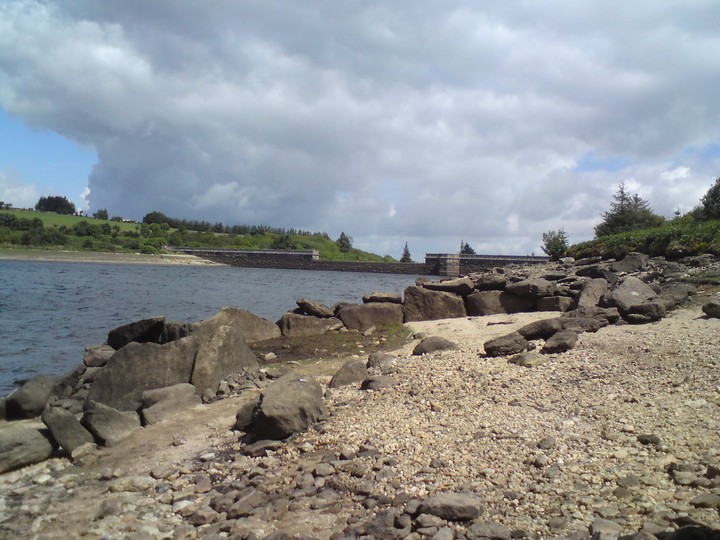
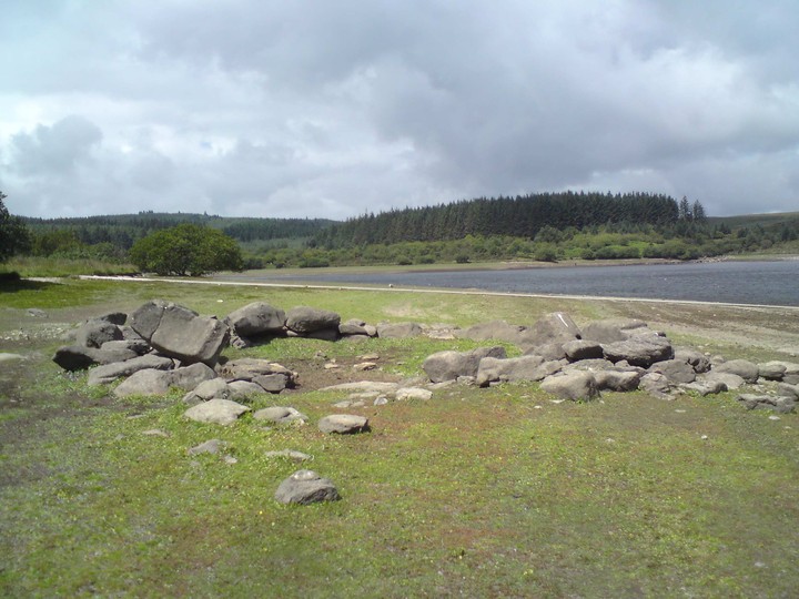
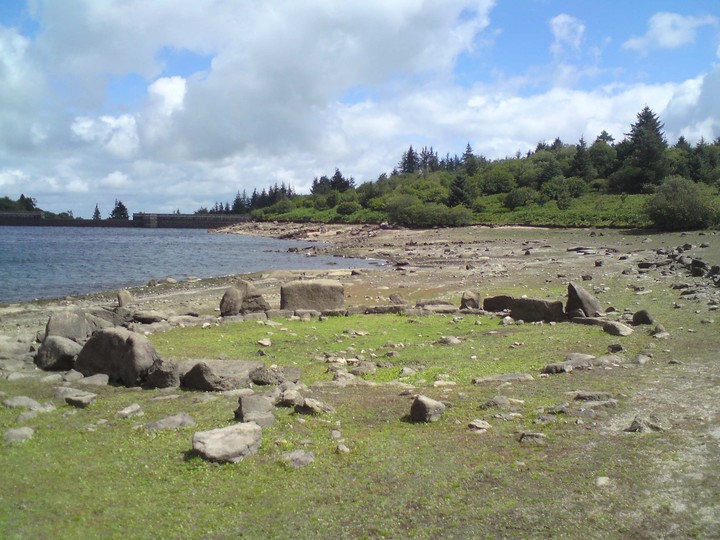
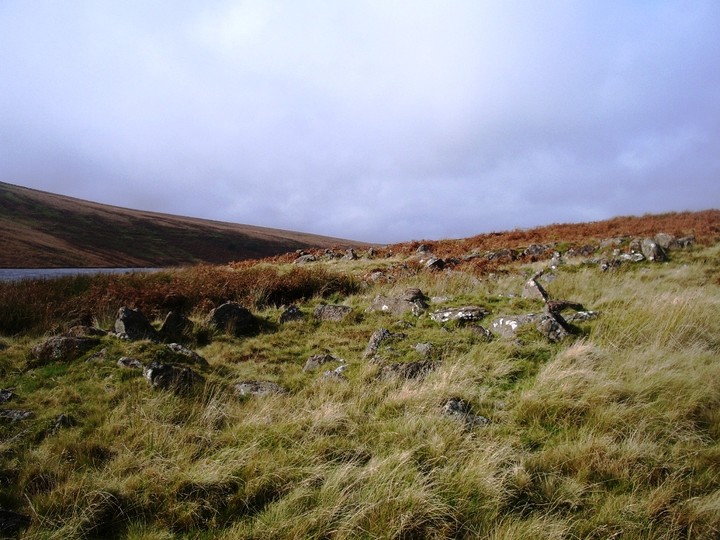
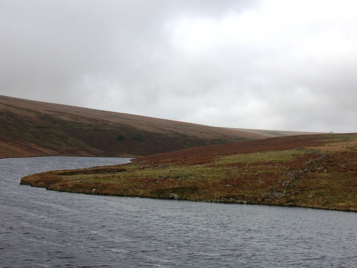
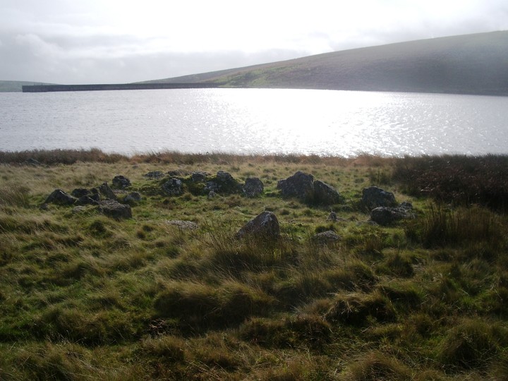
On the day I have been there the reservoir was rather filled up and about one quarter of the settlement was under water. Apparently in dry times the whole settlement shows plus a monastic homestead which might have been linked to the old abbey in Buckfast.
The site has been excavated during the construction of the dam in the fifties.
|
|
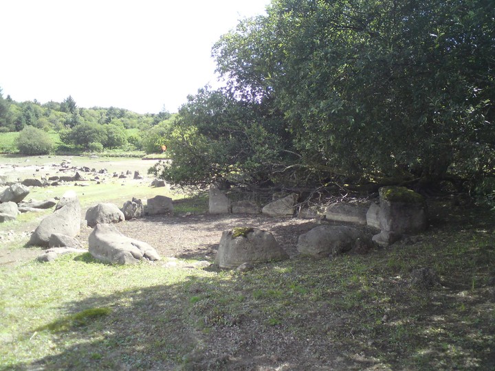
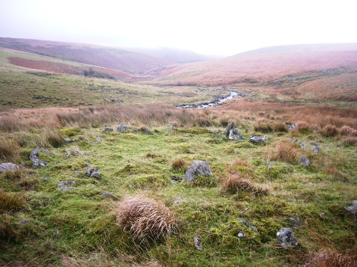
This is a massive settlement, if not 2 seperate ones that at some point merged. There is a boundary between which makes this plausible. There is a total of over 50 huts, some of them in surprisingly good condition considering the closeness to the edge of the Moor.
|

|
|
The 4 settlements here are some of the highest if not the highest ones on the Moor. There are just under 30 huts between the 4 and a lot of pillow mounds of the warren. If I didn't know better I would have assumed that the pillow mounds were as ancient as the settlements. They somehow give the place a nicer appearance. There is also a little shelter that looks a bit like a bee-hive hut.
|

|
|
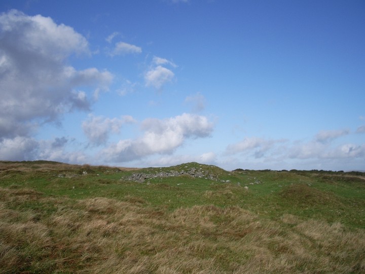
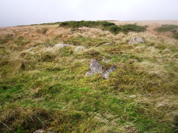
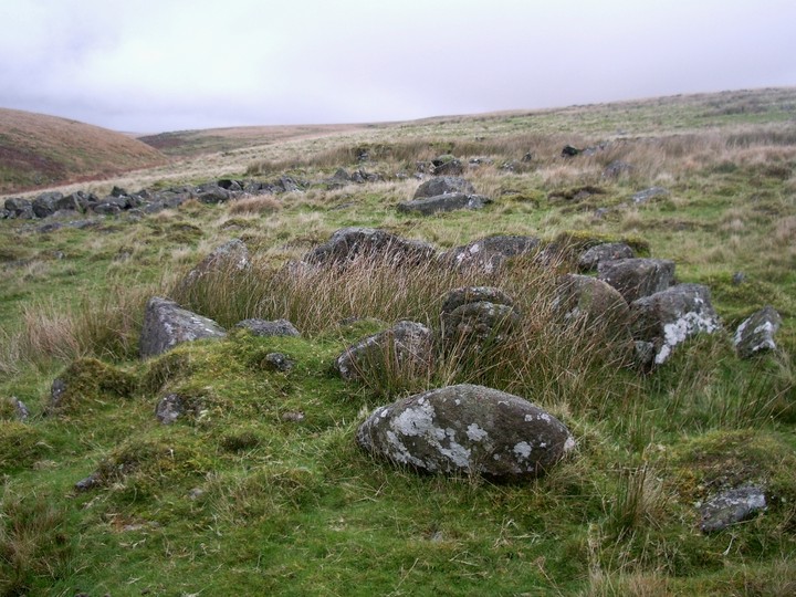
These cairns are not in a good state and very overgrown. There is a total of 7 cairns and a few huts around. The biggest cairn(picture) is about 16m in diameter, the others are much smaller.
|

|
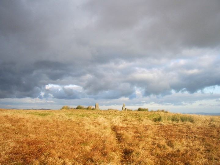
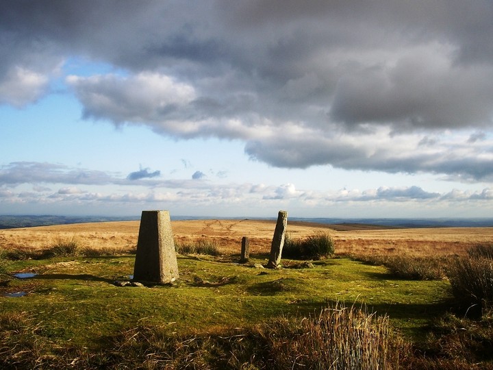
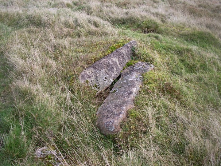
As the peat has diminished the appearance of this cairn, the 2 boundary stones and the OS triangular pillar give this site an aesthetic treat for the eyes. One of the Boundary stones is called Petre's Bound Stone, the other Petre On The Mount. I have to admit I don't know for sure which one is which. They mark the boundaries of Buckfastleigh and Holne.
The diameter of the cairn is 30m.
|
 
|
 
|
 
|
 
|
 
|
  
|

|

|
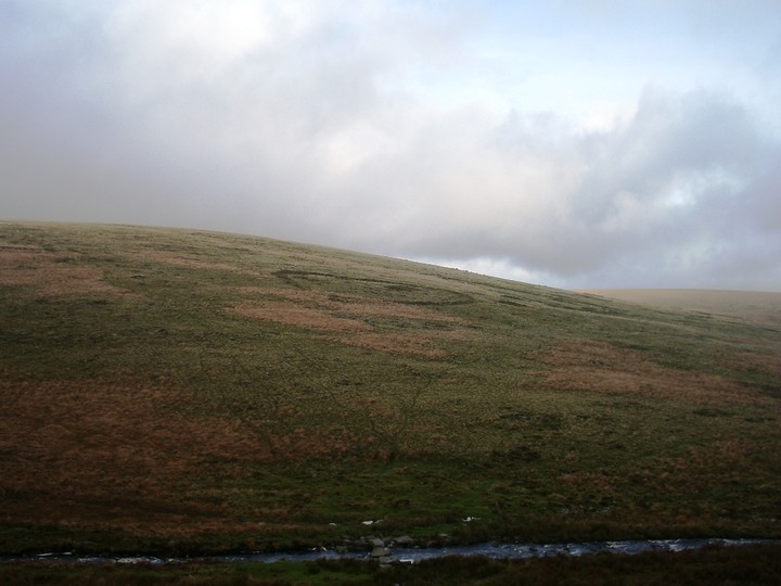
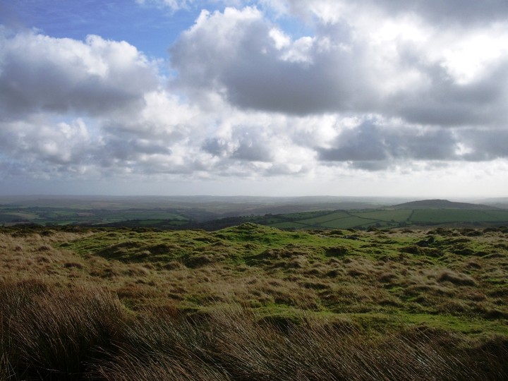
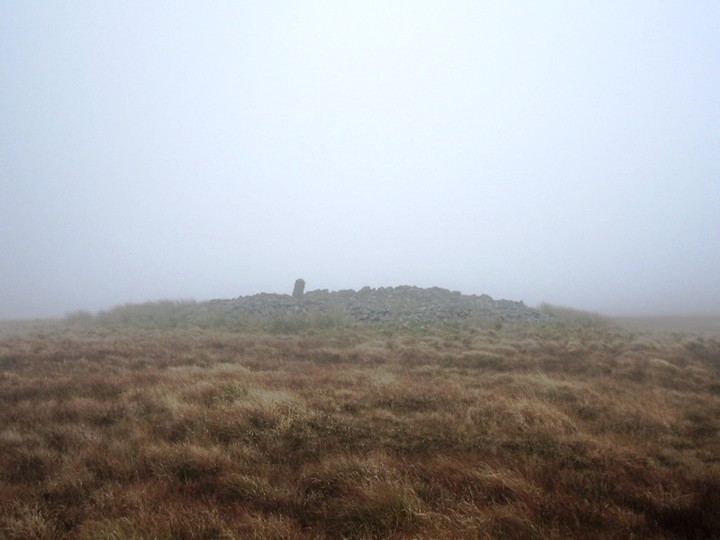
I have been up there now 4 times and everytime I was in the midst of fog or low clouds with no visibility.
This cairn has been the accomodation of peat cutters around 1847 who supposedly took down Petre's Cross which stood there for nearly 300 years. The armless cross has been re-errected upside down.
|
| |