The Hunebed can be reached via a dirt road from the road between Valthe and Odoorn. On the other side of this road is the largest burial mound of Drenthe Eppiesbergje burial mound. I parked at the crossing of Odoornerweg and Bergjesweg and walked for about 400m to the site, passing the destroyed D33 Valtherveld (not visible anymore).
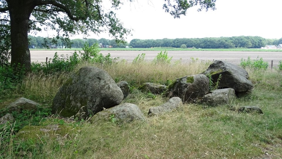
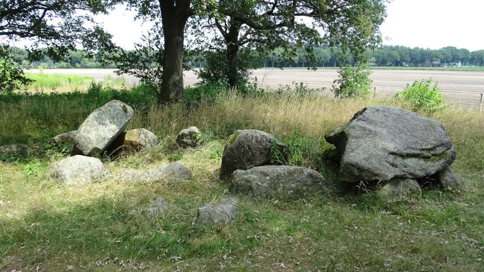
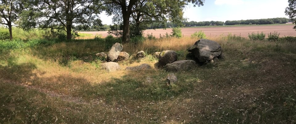
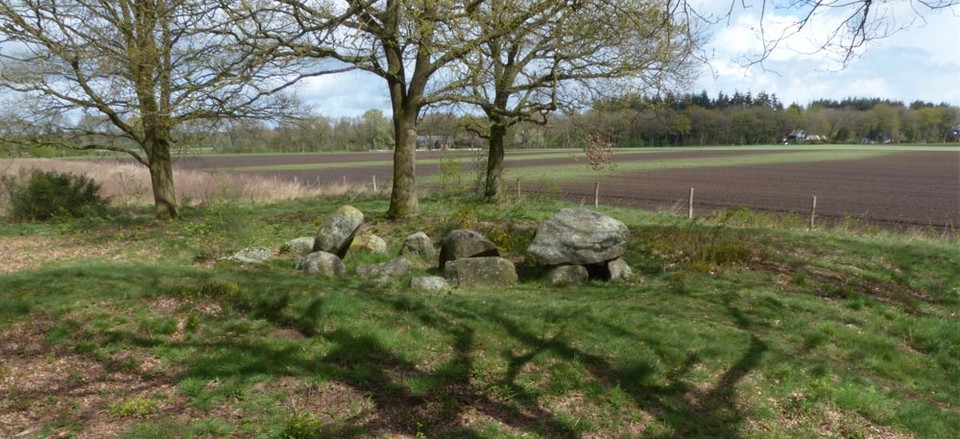
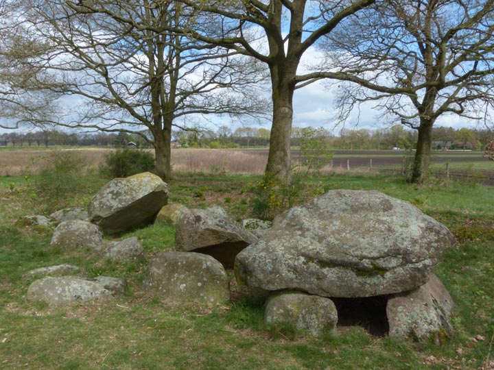
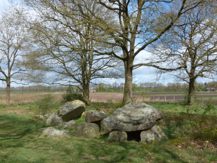
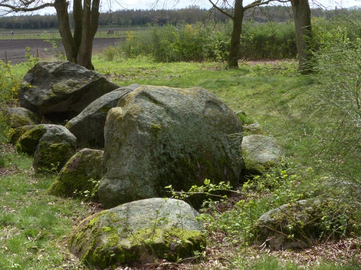
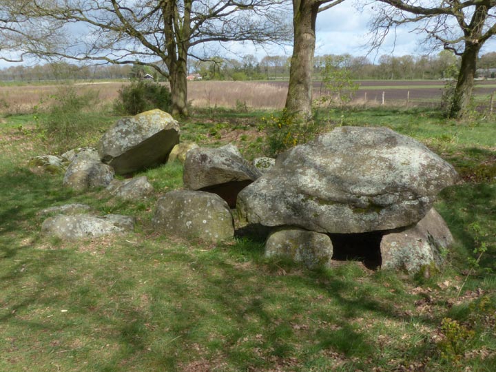
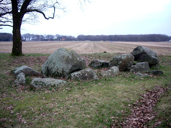
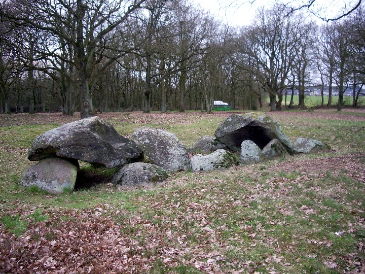
D34 Valthe is 7.8m long and 3.0m wide. There are three of the five capstones and two of the entrance stones left, the ten supporting stones and the two endstones are almost hidden under the ground. The surrounding mound can still be seen, the Hunebed itselt lies in a small hollow.
According to Wikipedia, the oldest trading route in Drenthe runs along D31 Exloo, D33 Valtherveld, D34 Valthe, D35 Valthe and the burial mound Eppiesbergje. The Valtherzandweg forms part of this prehistoric route.
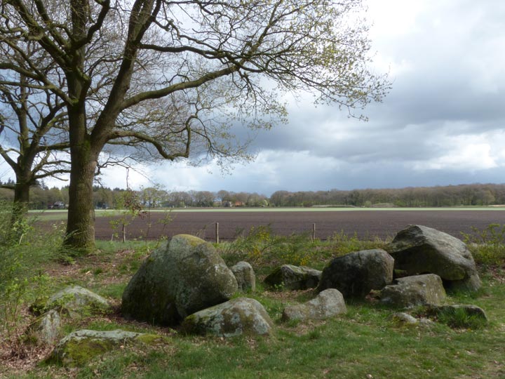
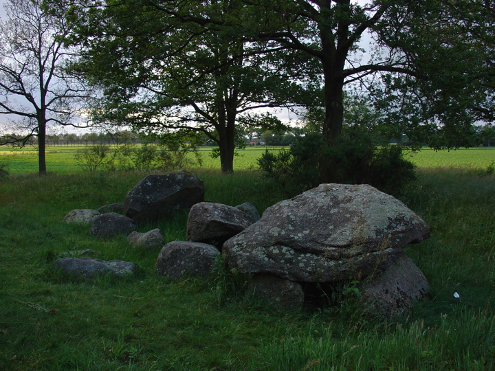
Hunebed D34 Valthe-West lies to the south of the road linking the villages of Odoorn and Valthe, some 250 metres along a dirt track. It's a walk of just over half a kilometre from the centre of either village to this track, which is easily identified because its northward extension leads to the (very obvious) burial mound of Eppiesbergje. This path passses between fields and heads south towards a small patch of woodland. The hunebed lies just within the border of this woodland.
D34 is an incomplete medium-sized hunebed, originally with five capstones, of which only three now remain, one in place on its supports and the others lying in the grave. The entire hunebed sits in a shallow depression on the summit of its original barrow, which is still clearly visible as a circular mound surrounding the monument. All the supporting sidestones are largely buried under the sand: only their tips are visible, giving this monument a somewhat low profile.
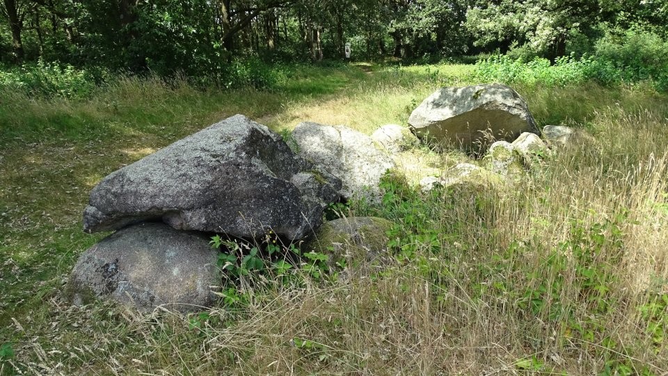
Until the end of 1954, the remains of a second hunebed, the ruinous D33 Valtherveld, lay some 150 metres to the north, until its stones were salvaged to renovate hunebed D49 Schoonoord.

 Maps / Plans / Diagrams:
 Posted by LesHamilton
 Posted by Jane