'Visited' 11.7.10.
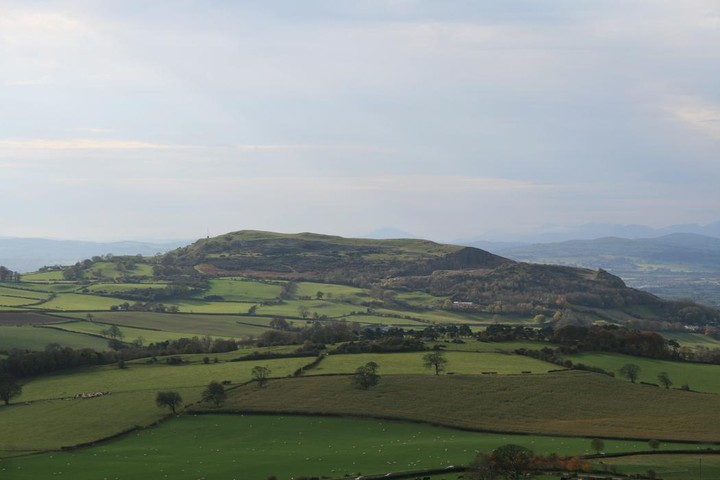
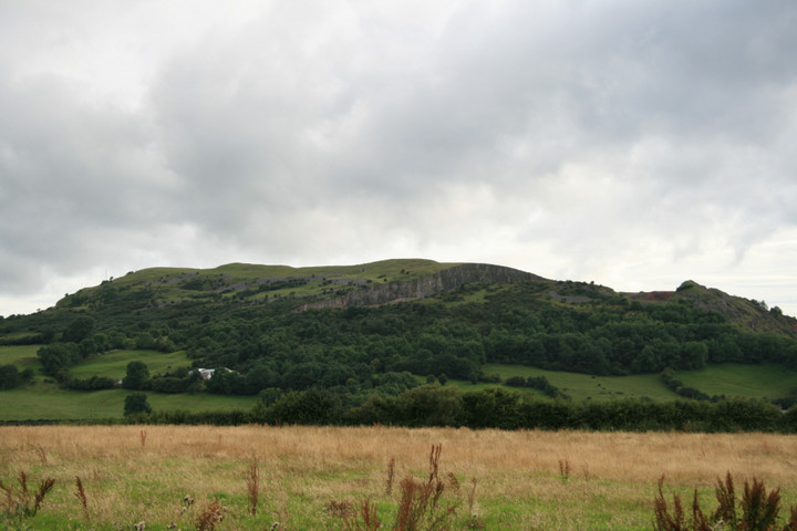
I took the road south through Dyserth which runs to the west of the Hillfort. There is no public access to the site and the hill was a lot higher and steeper than I expected. It would be a fair old hike to the top of this site! Respect to those who have done it. Despite using binoculars there were no obvious signs of defences other than the natural rock faces. I wouldn't fancy trying to attack this place!!
Visited 8.5.2010 as a "quick" stop off before doing the Dyserth - Rhuallt bit of Offa's Dyke path. Very close to the path, it seemed rude not to.
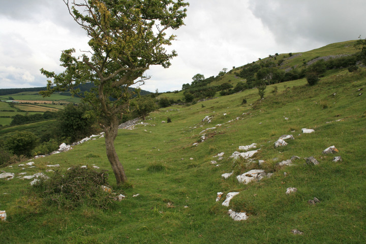
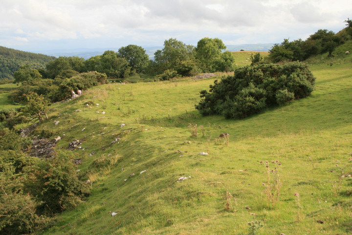
A word of caution - there are a couple of routes up to the fort, which crowns the top of a long north-south hill reaching a maximum height of 265m. There is a footpath running along the western side of the bottom of the hill, which can be used to get onto the access land of the upper slopes. Or, there is a footpath running from the SW corner of the hill to the south end.
We chose the former (because I'm impatient and it's more direct), which proved to be a bad idea. The footpath doesn't go up the hill, so you have to veer off eastwards along a track into the trees, which emerges at the bottom of a scree slope. Not put off, we scrambled up the scree, which gets steeper the further up you go. At the top of the scree band, there are some nice grassy slopes, except they're almost vertical. By the time we finally made the top of the slope, I was not particularly popular with G/F - so, use the footpath from the SW if you want a sensible route up!
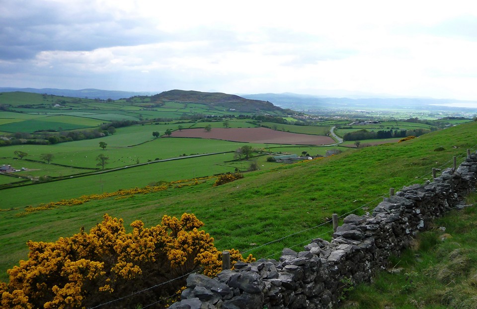
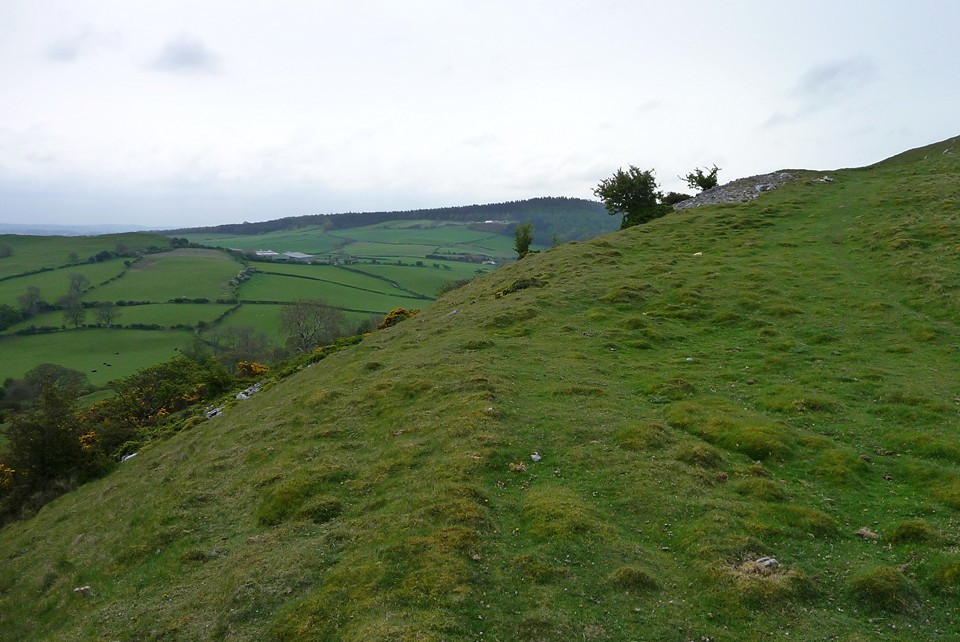
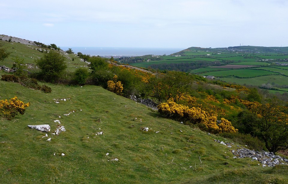
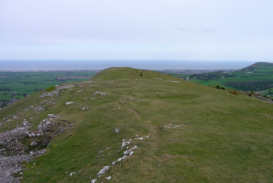
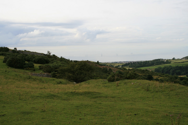
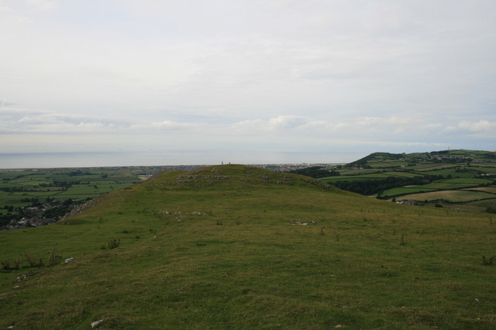
Once on top, the views are great. Northwards is the sea, westwards the mountains of Snowdonia and the excellent cairn on The Gop is prominent immediately to the east.
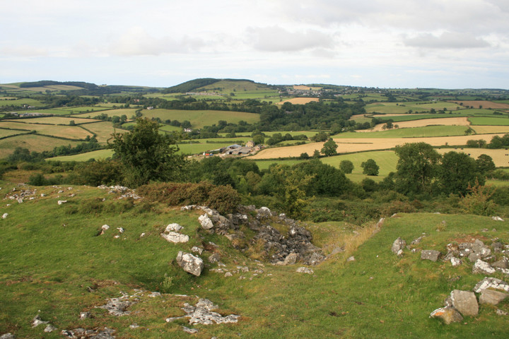
The fort itself has been destroyed at its northern end by quarrying (an even worse route up I can only imagine!). However, there are clear earth and stone ramparts on the south and east sides, at least three lines of defences are visible. None of the ramparts survive to any great height, but it's well worth a look if you're in the area.
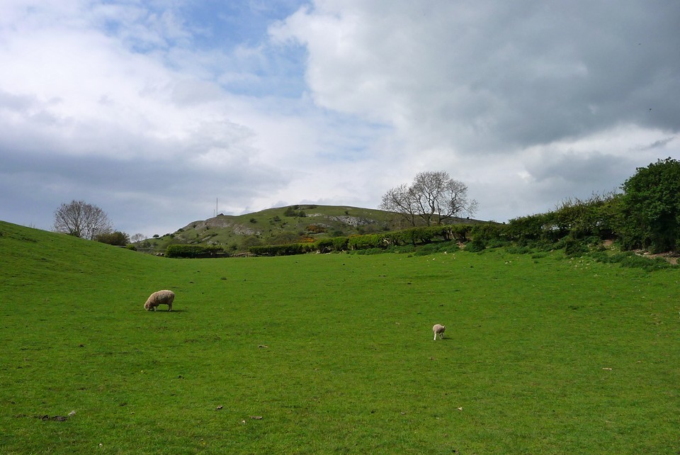
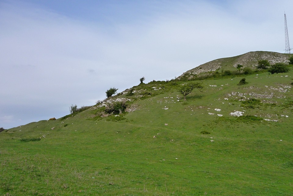
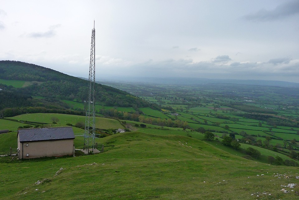
One of the last hills in the Clwydian range going north, only Prestatyn then it's the Irish sea. It was a nice day and after an afternoon on Ffrith beach we found ourselves driving past this hillfort (coincidence ?) so I just had to go up didn't I. It was quite a long walk, there is no direct way up, the western side is almost sheer cliffs and the path on the eastern side follows the hill south before going up. The hill fort is like the hill, long and thin 200m long by 50m wide, on the eastern edge there are maybe 3 ditches and banks, it's hard to say because of very dense gorse and bracken , the worst thing about this hillfort are on top at one end is a mast and small building and at the other end is well actually the other end is gone eaten away by a massive quarry . On the plus side there is a cave (no time to find it though) and amazing views 360 degrees all round.


 Posted by thesweetcheat
 Posted by postman
 Posted by Rhiannon