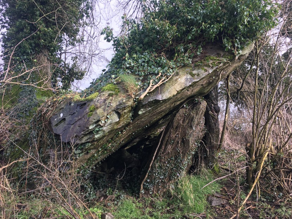
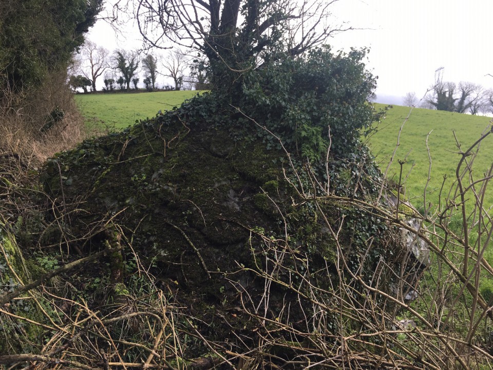
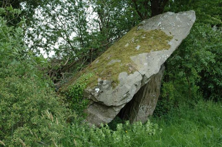
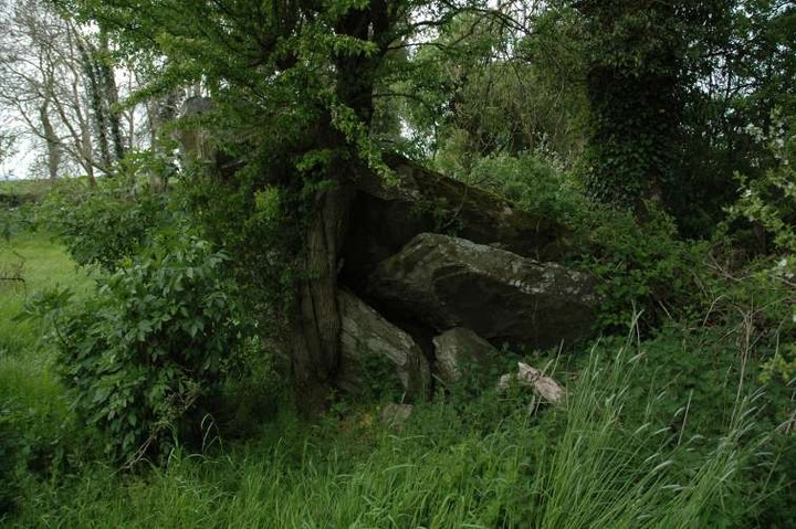
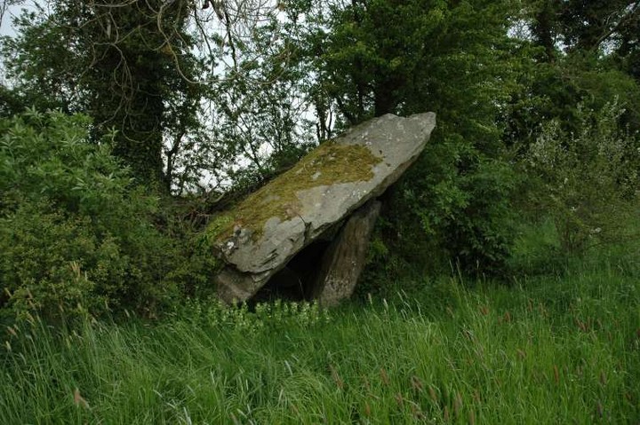
Twelve and a half years since I was last here, it was different than I remembered. A massive capstone, a portal stone, what looks like a flaked part of the capstone split off from the bottom and some various possible chamber stones are what remains.
It's one of those sad reminders of what once may have been, neglected, but in the end not wholly ignored – there were signs that we weren't the only ones to check out the tomb.
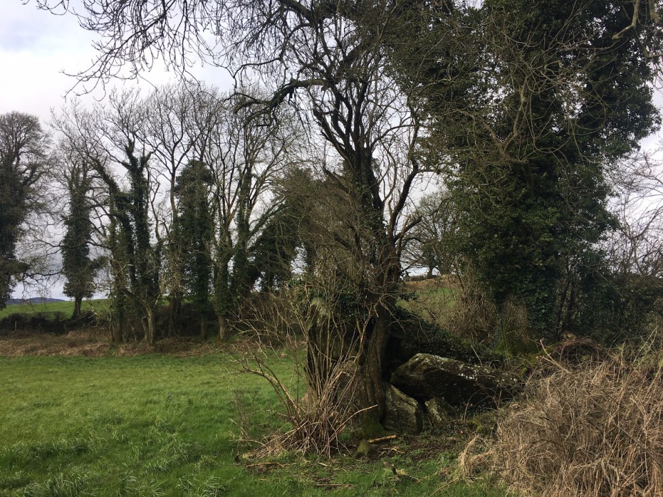
Access is not as straightforward as I thought, though the monument is in a roadside field. Now is the time to visit – this will be overgrown in the summer months.

 Posted by ryaner