Visited 23.5.11
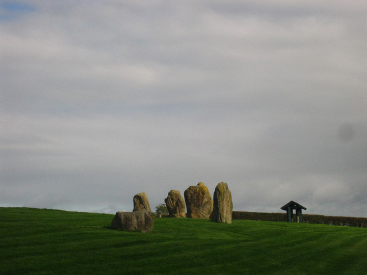
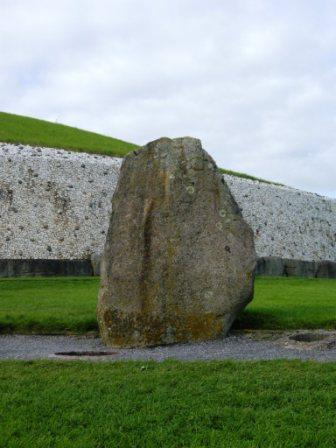
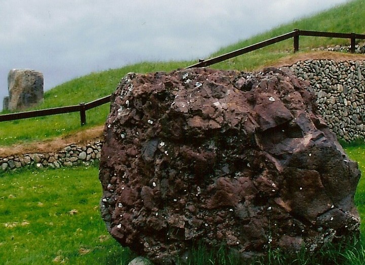
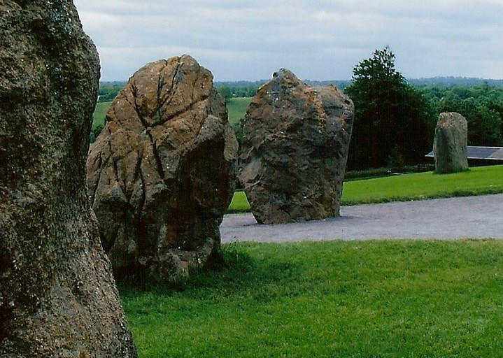
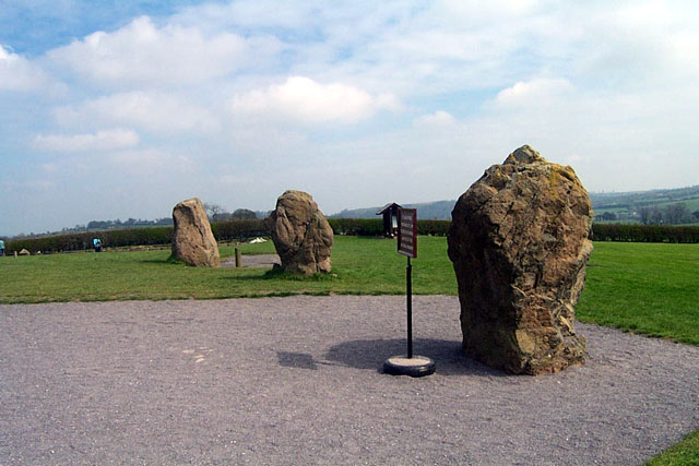
While we were waiting for our turn to enter the passage of Newgrange, Dafydd and myself walked (or more accurately got blown) around the remains of the stone circle.
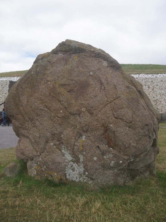
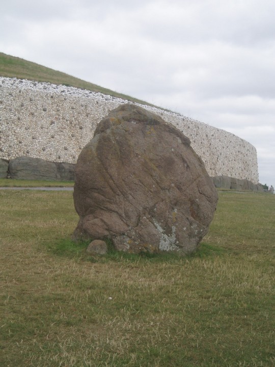
The stones are large but not as large as Avebury/Stonehenge. They were however big enough to afford shelter from the near gale force wind!
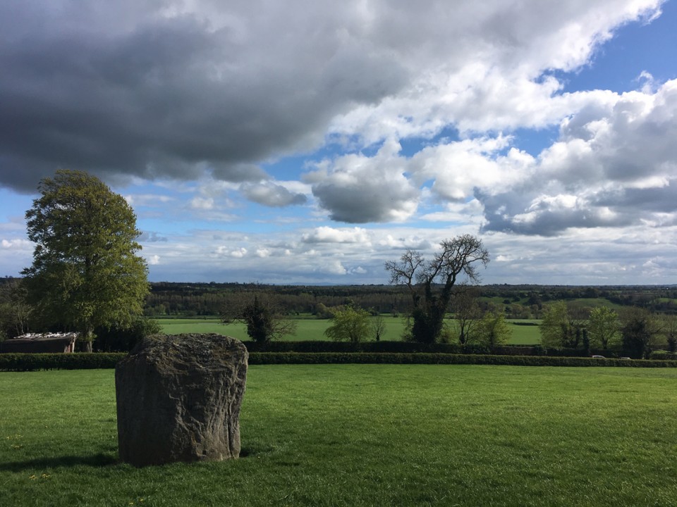
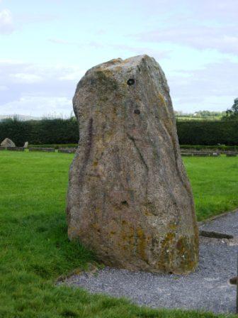
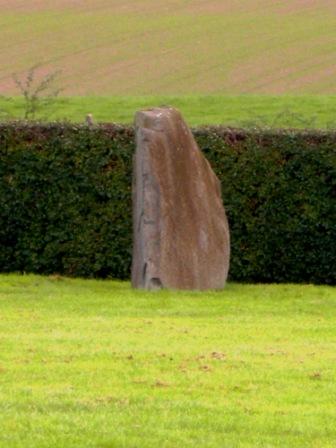
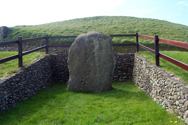
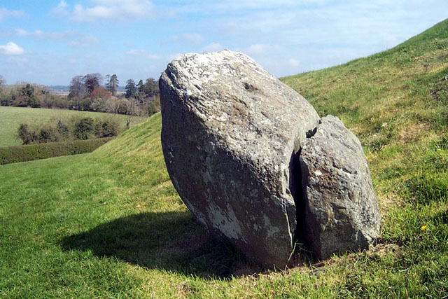
We also walked down to the bottom of the field where a single large standing stone stood.
The stone seemed to align with the entrance to Newgrange?
Two chaps had a long tape measure and were measuring something out across the field – no idea what they were up to?

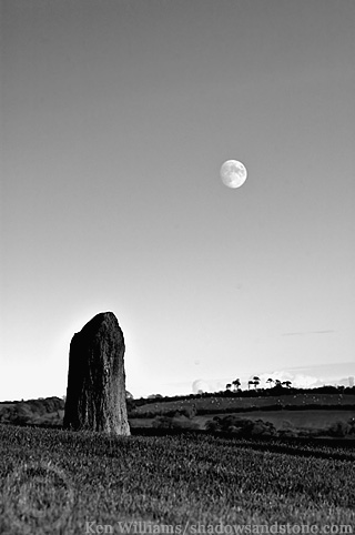
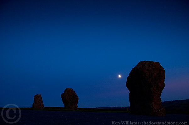
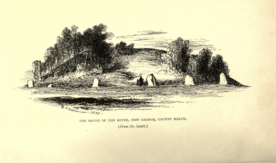
 Artistic / Interpretive: