The Modern Antiquarian. Stone Circles, Ancient Sites, Neolithic Monuments, Ancient Monuments, Prehistoric Sites, Megalithic MysteriesThe Modern Antiquarian


Slieveanard

Cairn(s)

<b>Slieveanard</b>Posted by bawn79Image © Bawn79
Also known as:
  • Sliabh an Aird

Nearest Town:Caher (5km E)
OS Ref (IE):   S005264 / Sheet: 74
Latitude:52° 23' 21.35" N
Longitude:   7° 59' 33.56" W

Added by bawn79


Discussion Topics0 discussions
Start a topic


Show map   (inline Google Map)

Images (click to view fullsize)

Add an image Add an image
<b>Slieveanard</b>Posted by bawn79 <b>Slieveanard</b>Posted by bawn79 <b>Slieveanard</b>Posted by bawn79 <b>Slieveanard</b>Posted by bawn79 <b>Slieveanard</b>Posted by bawn79

Fieldnotes

Add fieldnotes Add fieldnotes
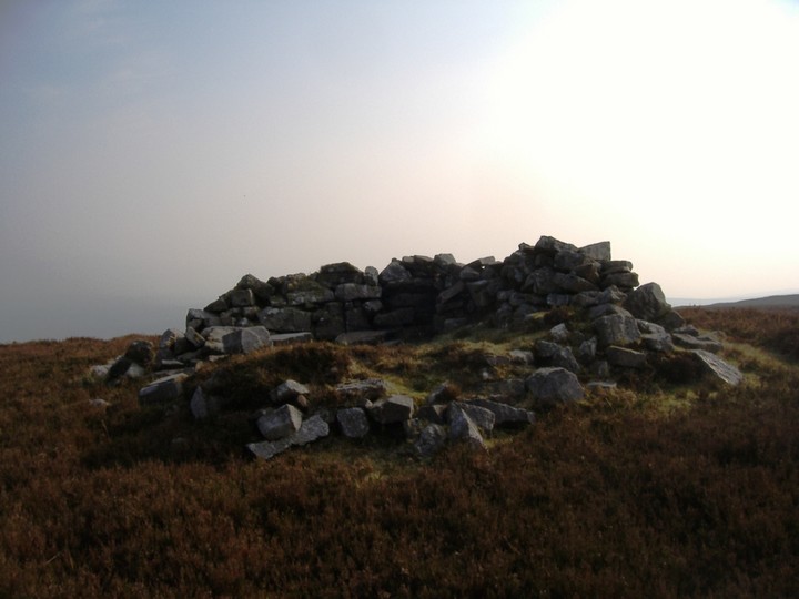
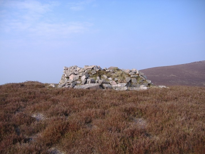
I can see this cairn from my house in Cahir, originally I thought it was the cairn on Sturrakeen. However it is on Slieveanard, its funny the cairns that are marked on Greenane West and Sturrakeen dont look like cairns at all while this one definitely is a cairn but isnt marked.
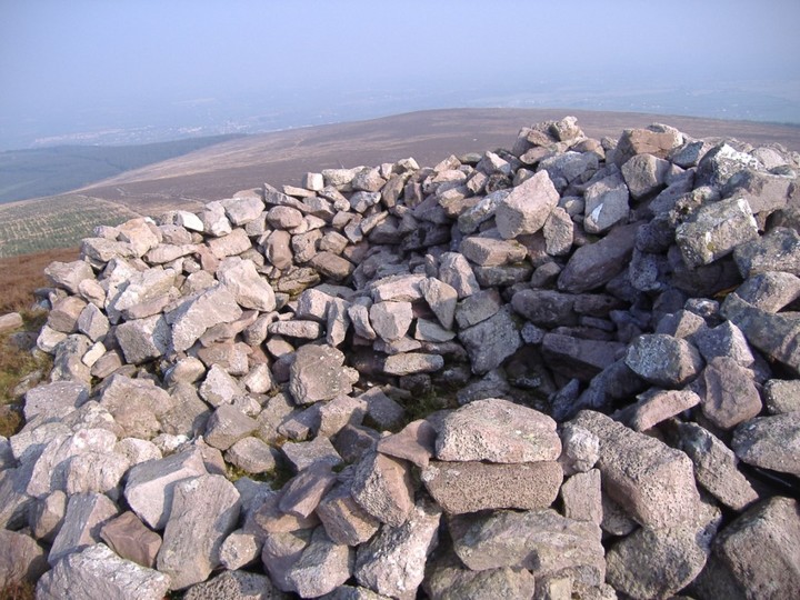
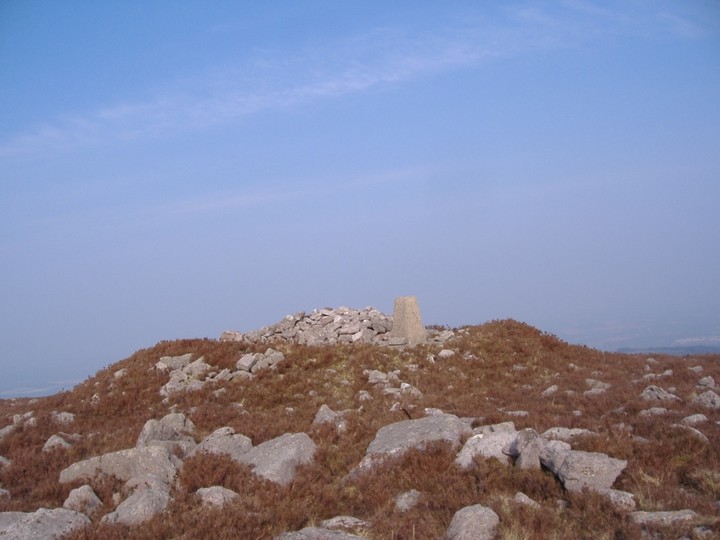
The cairn itself is about 2m high by about 15m diameter. There is a fantastic view from it back along the spine of the Galtees. It is a relatively easy climb up. I followed the path marked on the OS map that takes you up to the lower of the two peaks and then walked from there over to the higher one.
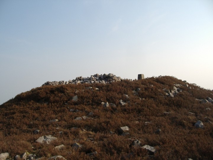
The cairn on the higher peak isnt visible from the lower.
bawn79 Posted by bawn79
16th April 2007ce
Edited 23rd April 2007ce