South Liddel
Ancient Village / Settlement / Misc. Earthwork
 Image © wideford Image © wideford
|
Also known as:
| Nearest Town: | | Kirkwall (26km NNW) | | OS Ref (GB): | | ND465841 / Sheet: 7 | | Latitude: | | 58° 44' 29.19" N | | Longitude: | | 2° 55' 27.83" W |
|
|
Web searches for South Liddel
|
|
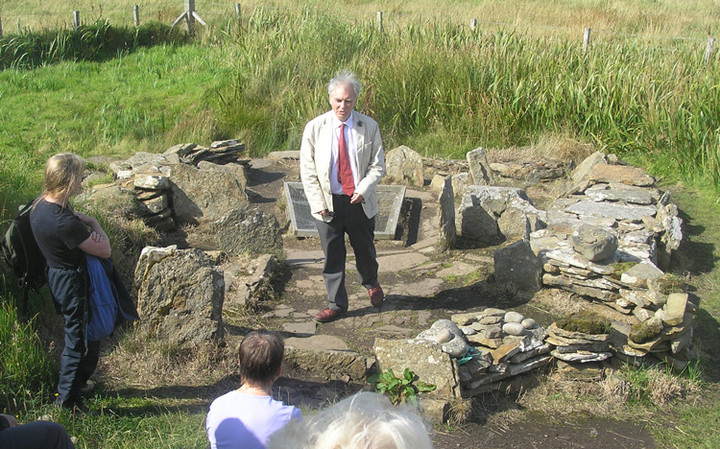
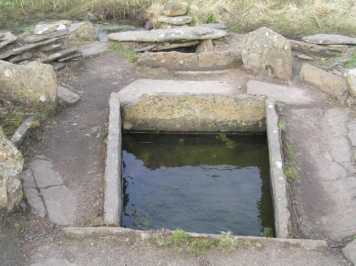
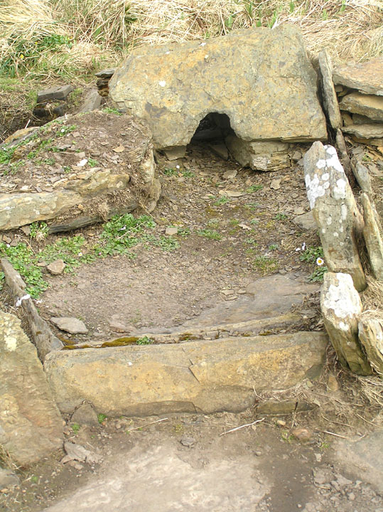
Visited 3.6.12
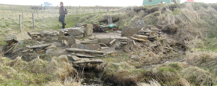
You come to this site on the way to the tomb (it's about half way).
I must say that I got a lot more out of this visit after listening to the talk we were given at the visitor centre.
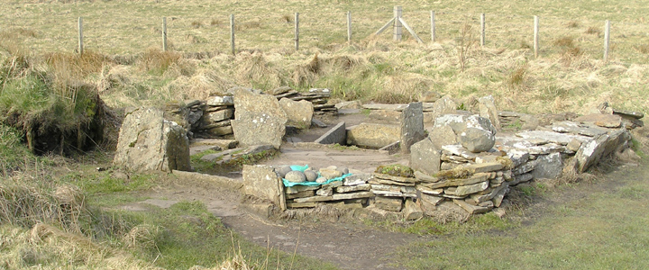
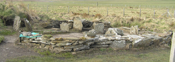
The floor plan of the building is very clear to see.
The burnt mound is right next to it.
|
Posted by CARL
9th July 2012ce
Edited 9th July 2012ce |
|