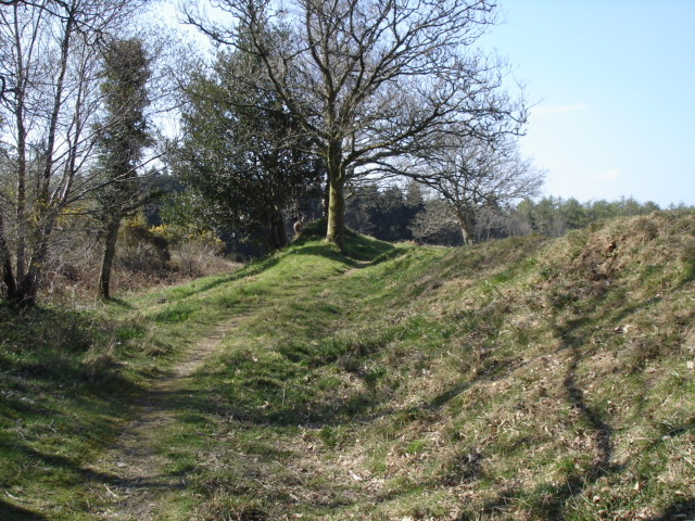
Boringdon Camp is situated around 4 km south of Dartmoor and is accessed from a car park on the edge of Cann Woods. This can be reached by driving north from Colebrook on the road which goes to Shaugh.
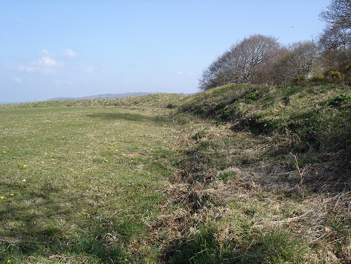
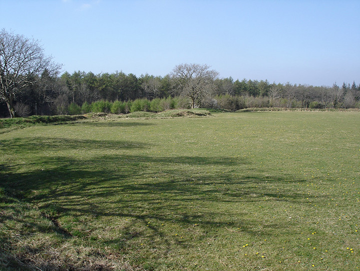
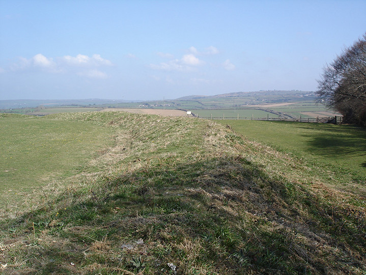
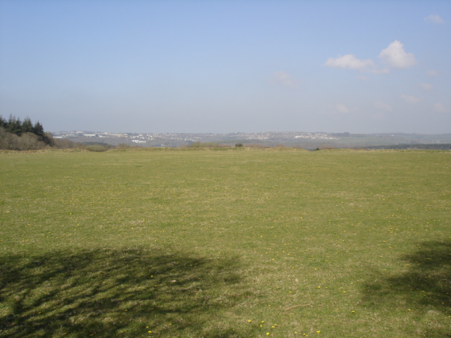
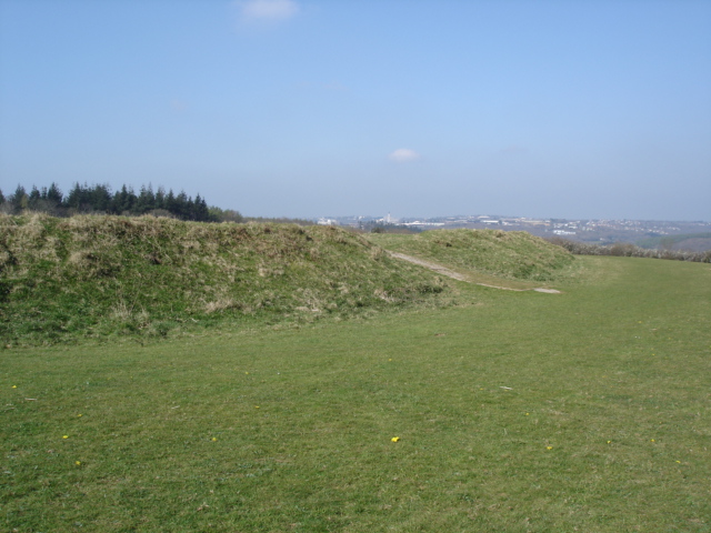
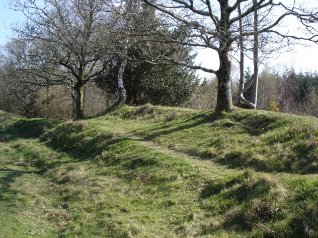
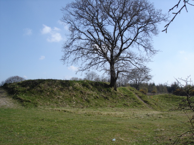
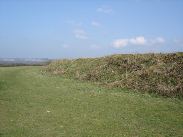
The camp was in use from around 350-150 BC which according to the information board was the B section of the Iron Age. It is 145 metres above sea level and would have had a comanding view over Plymouth Sound when in use , unfortunatly this is now obscured by the pine forest. It still has views north towards Dartmoor.

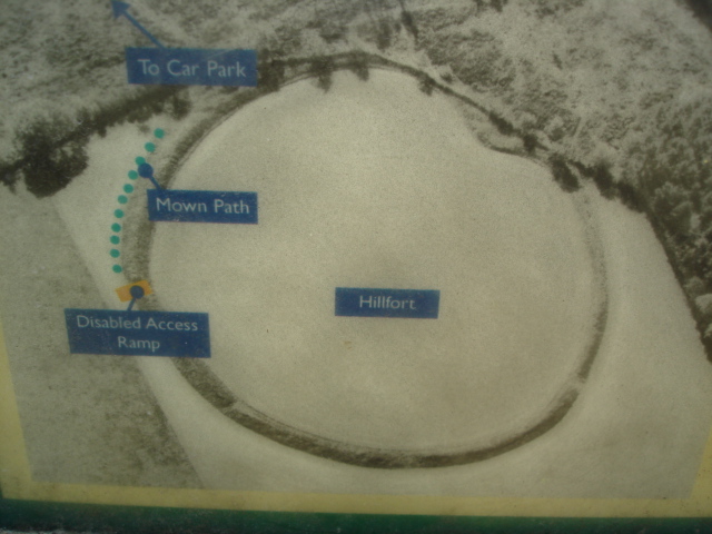
 Maps / Plans / Diagrams:
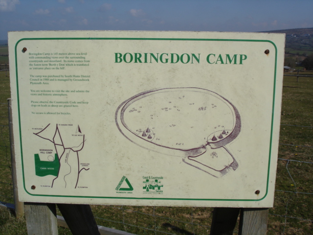