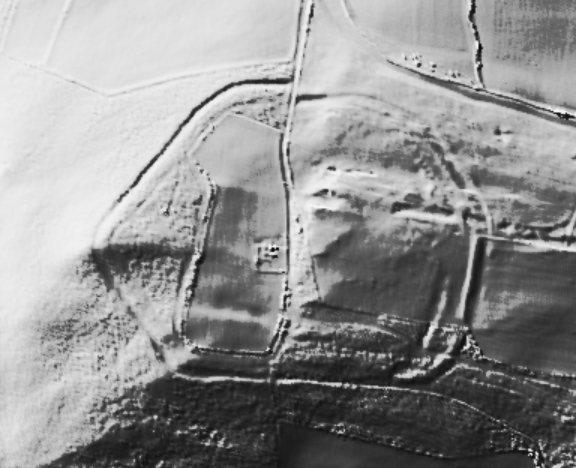
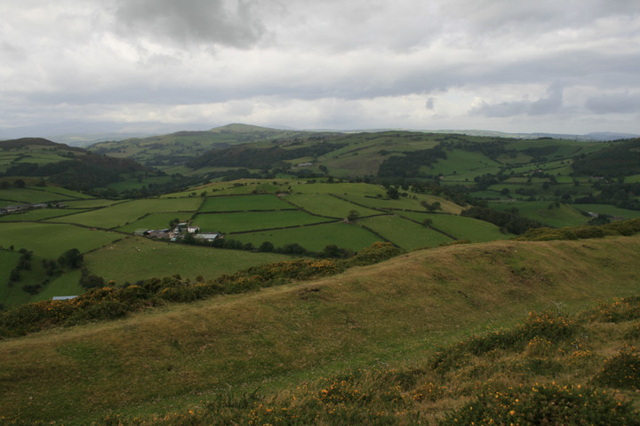
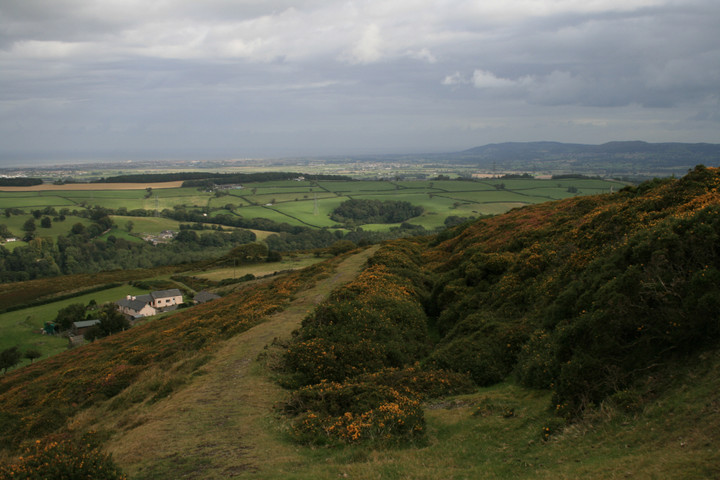
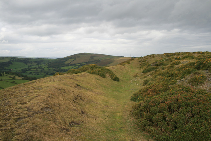
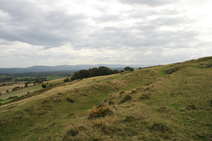
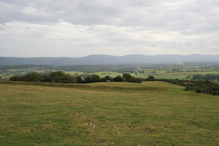
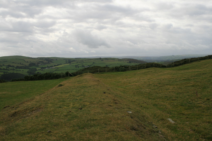
There's a steep side and a gentle sloping side, like a twerp I went up the longway . The defences on the western side are the best preserved, with no really obvious entrances, but another great view. Situated amongst a maze of small lanes halfway between Snowdonia and the Clwydian range .( all of which Iv'e been to ).
The hillfort could be part of an Equinox alignment along with Moelfre Uchaf and Cerrig Pryffaid stone circle, though with a thousand years inbetween the construction of the two sites it seems probable that its fortuitous.
I'm imagining this must be the place referred to by Thomas Pennant in his 1778 description of the battle of Coleshill. Maybe it's a traditional idea. I can't see mention of the names elsewhere, but the location fits the bill in the area? He says
.. the wise prince retired to a plain near St. Asaph, still called Cil-Owen, or Owen's retreat; and from thence to a strong post, named Bryn y Pin, defended by great ramparts and ditches. This camp lies in the parish of St. George, on a lofty rock above the church, and is now called Pen y Parc.
The 'wise prince' is Owen Gwynedd, who is up against Henry II. According to Giraldus Cambrensis (writing relatively shortly after the 12th century battle) the triumph of the Welsh, who had a much smaller army, was down to the bad behaviour of Henry's troops, who had been burning Welsh churches - divine retribution. But maybe it was actually due to the Welsh giving the English a good kicking due to superior tactics.

 Posted by postman
 Posted by Rhiannon