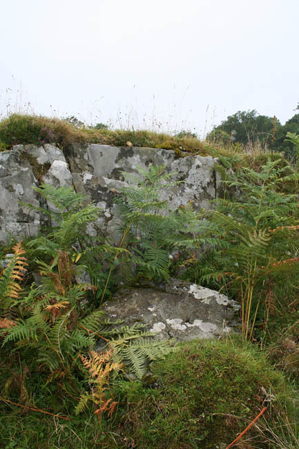
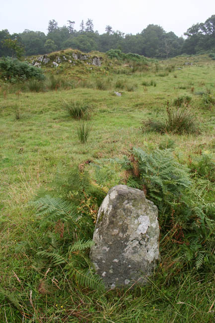
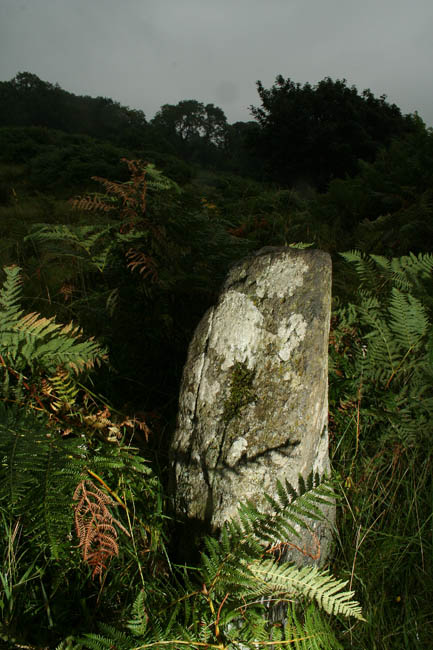
I feel a bit embarrassed about posting this site as rock art, as I feel it's more of a settlement. It's the lumpy outcroppy bit to the north of the village of Slockavullin. It's got traces of circular structures, one of which was described to me by a local grockle as a 'banked stone circle'. It might have been, it is an earthen bank, and it has stones in it, but it's not very likely to be honest. I think they are more likely to have been grounding stones of a building, only one of them was standing, and then only to a height of about 80cms. I couldn't help but wonder if the 18thC buildings which constitute the current village was built on top of a much older site, mostly for the same reasons, it's flat, but no good for farming, but it has a good water source and is close to the good farming bits. If trees weren't there, it would be a 20m walk to a point where you'd be able to see all of the monuments from Ballymeanoch to Glebe Cairn, and from the outcrop, you could easily throw a stone into the centre of Templewood.
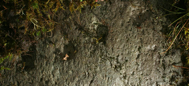
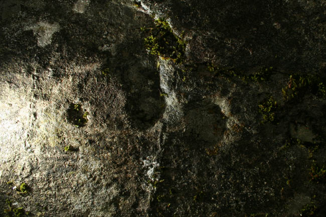
Quite frankly, the rock art is a bit rubbish. In retrospect, I wasted far too much time here (probably in excess of 15 hours over the space of a week) that could have been much better spent further uphill around Loch Michean.

 Posted by Hob