Sites within 20km of Tobergill
-
Kilmakee
-

The Witches’ Stone
photo 1description 1 -

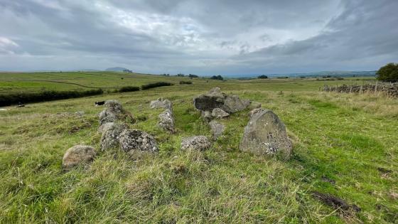
Carncome
photo 1forum 1 -

Craigarogan
photo 1 -
The Three Brothers
-
Ballyaghagan
description 1 -
Cave Hill
photo 2description 2 -

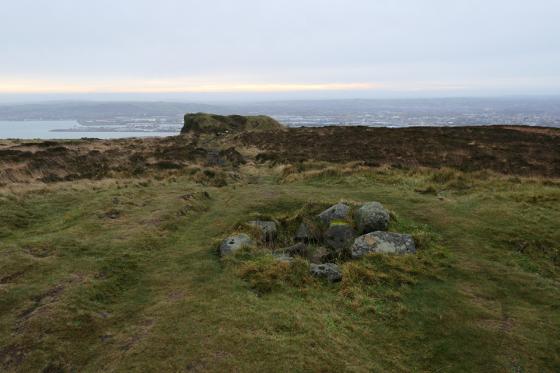
McArt’s Fort
photo 4description 1 -

Ballygomartin
photo 4description 1 -

Killyglen
photo 4forum 1description 1 -
Craigywarren
-
Tamybuck
photo 6description 1