|
|

|
|
Dixton HillHillfort
|
||||||||||||||||||||||||
|
|
|
Images (click to view fullsize) |
|
|
Fieldnotes |
|
|
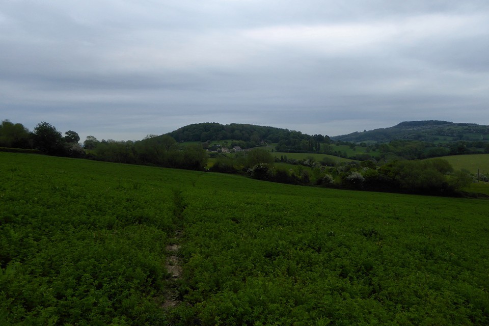
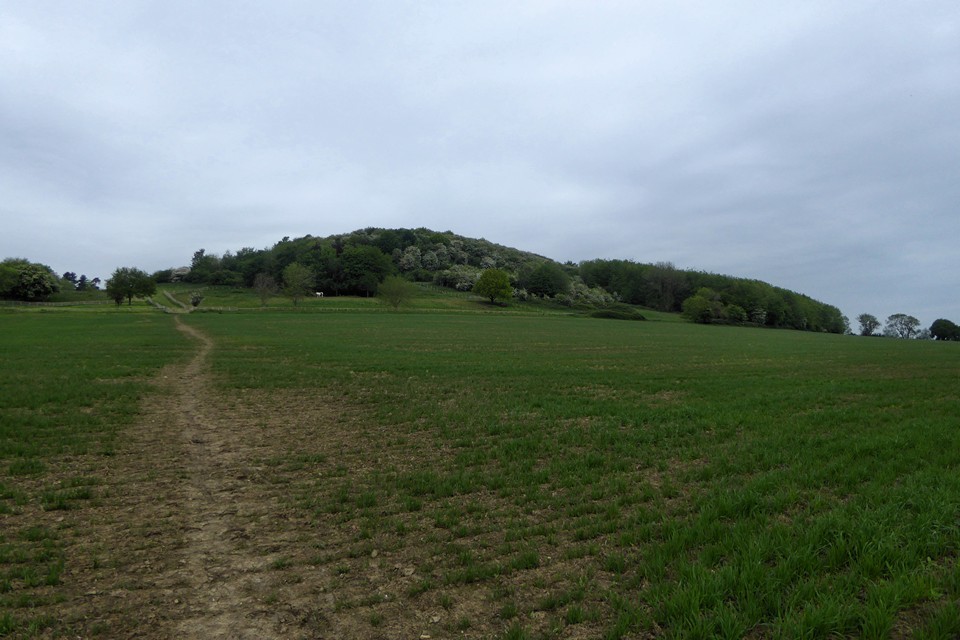
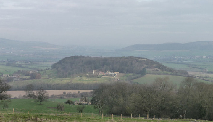
Visited 24.8.13 Directions: From Bishops’s Cleeve (not much there) take the minor road north to Gotherington. From Gotheringto follow the signs east for Dixton. The Hillfort is to the north of Dixton House, east of Manor Farm. I chose to opt for access via the Goucestershire Way (approaching from the east). You can park next to the metal field gate where the road turns sharply to the right. The sun was shining and the air was still. A pleasant walk across the field and then through another gate. At this point the ground starts to rise as you head towards the trees. If you want to go blackberry picking, this is the place for you! I followed the path uphill and it was apparent there was no way through the chest high nettles and masses of brambles – particularly when wearing shorts. I then came across a newly cut path through the nettles to my right; so I followed it hoping for the best. I then came to a padlocked rusty gate and jumped over it. This brought me out into the trees and a very steep climb – but few nettles. I scrambled my way up the bare slope but on several occasions had to use the trees to pull myself up it was so steep. This was not easy as all the trees seemed to be hawthorns and the spikes were sticking into me. Eventually I got to the top but was confronted by a ‘sea of nettles’, chest high and no way through. The entire top of the Hillfort (open field) appeared to be covered in nettles. This was as far as I was going today. I didn’t have time to try the other approach, via Manor Farm to the west, but I would imagine you would have hit the same problem with the nettles? No wonder no-one has added fieldnotes to this site before! If you are planning to come I would suggest a winter visit, approaching from the west. The approach I took was a difficult climb up the steep hill and I wouldn’t fancy attempting it in the winter. Not sure there is actually anything to see though? |
Posted by CARL 27th August 2013ce |
Folklore |
|
|
These earthworks (probably an Iron Age hillfort reused in medieval times) - are where the giant threw the Tibblestone from. I haven't found an older reference for this, but Danny Sullivan claims the giant was aiming at Tewkesbury: http://www.hoap.co.uk/aatf1.rtf. whilst Celia Haddon says he was aiming at the boats on the Severn: http://www.celiahaddon.co.uk/standing%20stones/gloucestershire.html That's really the wrong direction! but then, it is said that he slipped mid-throw. The 'Tibblestone' page quotes 'The Old Straight Track': "A long time ago, a giant lived in these parts, and he went up the hill to fetch a large stone to destroy his enemy's house. When he was carrying it down, his foot slipped, and his heel made a great furrow in the hillside, and you can see it to this day, and he had to drop the stone just where you see it. It is quite true because you can see for yourself the holes where the giant's fingers had hold of it." http://tibblestone.users.btopenworld.com/tibblestone.htm |
 Posted by Rhiannon
5th December 2006ce |