Image credit: Charles Coughlan


Unfortunately there’s no ‘end of the rainbow’ for this little tomb

From the rear, looking roughly west. As you can see, the south side has completley collapsed and the whole gallery has filled up with mud, seems like this wedgie is the victim of a landslide or two.

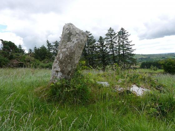
Bweeng Wedge Tomb, quite an obscure and little known tomb. But dont grab the car keys just yet; this is the good side, the other side is a mess.
I replaced the original image, this has slightly better composition and added grain.