The Modern Antiquarian. Stone Circles, Ancient Sites, Neolithic Monuments, Ancient Monuments, Prehistoric Sites, Megalithic MysteriesThe Modern Antiquarian


Castlecreavie

Ancient Village / Settlement / Misc. Earthwork

<b>Castlecreavie</b>Posted by markj99Image © Mark Johnstone
Nearest Town:Kirkcudbright (5km W)
OS Ref (GB):   NX724492 / Sheets: 83, 84
Latitude:54° 49' 16.2" N
Longitude:   3° 59' 10.44" W

Added by rockartwolf


Discussion Topics0 discussions
Start a topic


Show map   (inline Google Map)

Images (click to view fullsize)

Add an image Add an image
<b>Castlecreavie</b>Posted by markj99 <b>Castlecreavie</b>Posted by markj99 <b>Castlecreavie</b>Posted by markj99 <b>Castlecreavie</b>Posted by markj99 <b>Castlecreavie</b>Posted by markj99 <b>Castlecreavie</b>Posted by markj99 <b>Castlecreavie</b>Posted by rockartwolf

Fieldnotes

Add fieldnotes Add fieldnotes
Visited 24/05/21

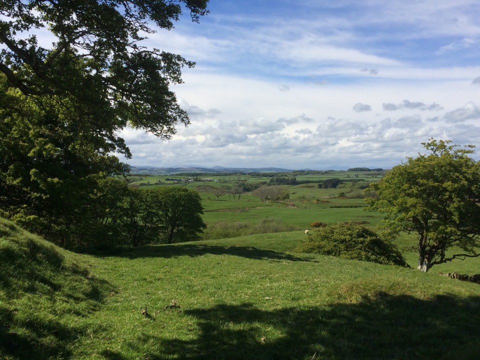
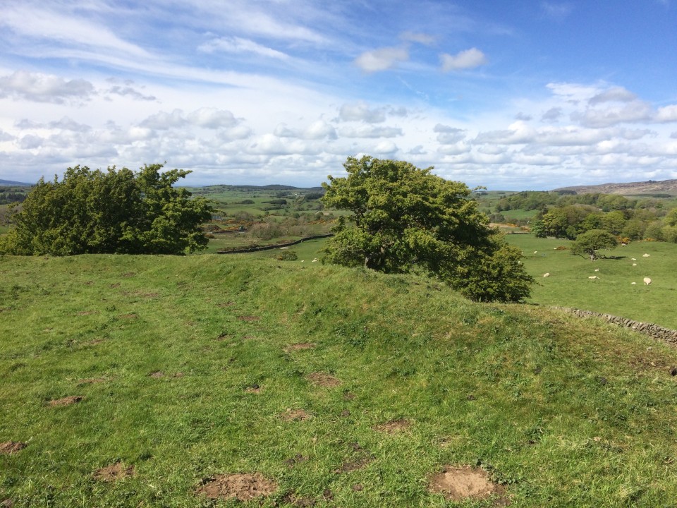
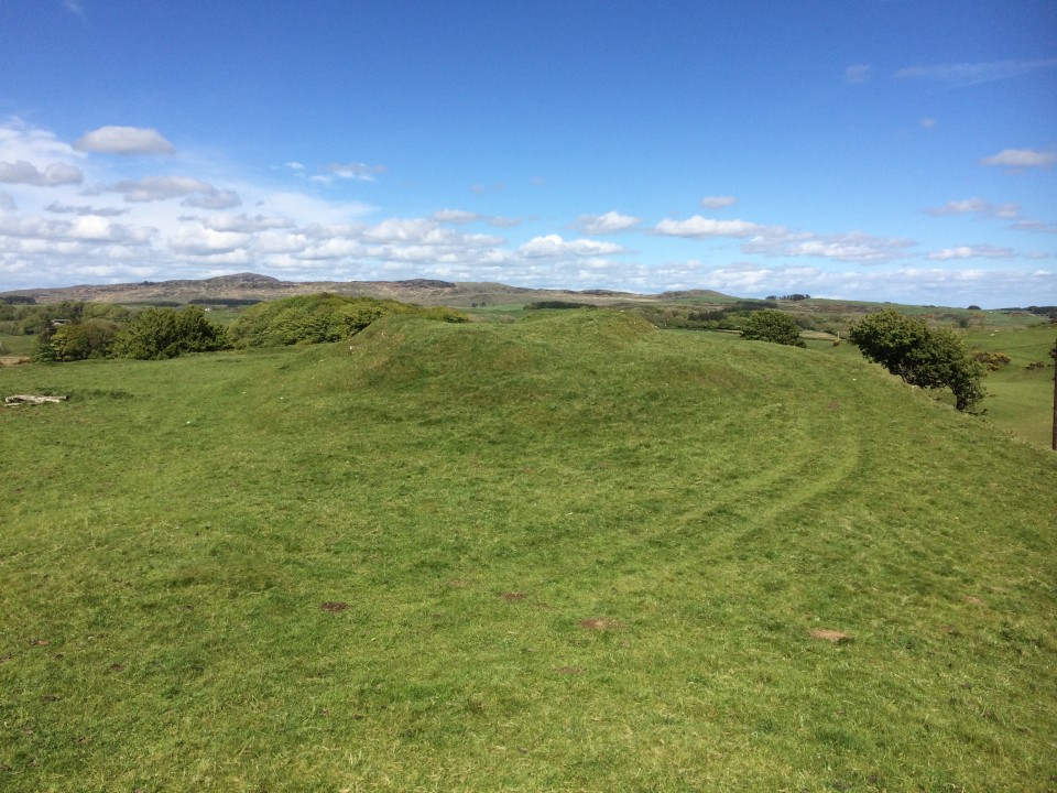
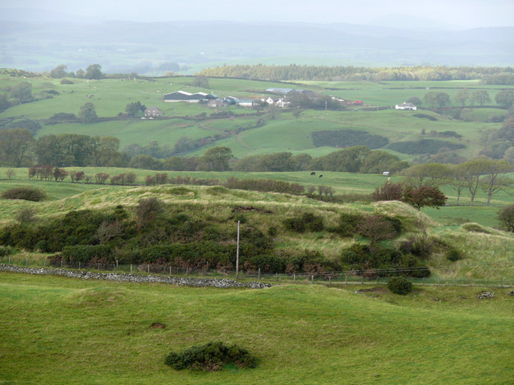
Castlecreavie Settlement is situated on the road to Castlecreavie Farm between Kirkcudbright and Dundrennan. There is room to park at NX 72424 49258, c. 500 yards up the narrow road to Castlecreavie Farm. There is a style leading up to Castlecreavie Settlement. The natural hillock has an enclosure measuring c. 75 yards NE-SW and 40 yards NW-SE. There are remains of a c. 4 feet rampart on the SW and NE of the enclosure. There are steep slopes all round except for the SW which slopes away at a shallow angle. There is a prominent terrace from c. 12 to 15 feet wide round the settlement, except on the SW side.

Canmore ID 64427 (go to Links) has a fuller description of Castlecreavie Settlement.
Posted by markj99
25th May 2021ce
Edited 25th May 2021ce

Links

Add a link Add a link

Canmore ID 64427


Castlecreavie Settlement on Canmore
Posted by markj99
25th May 2021ce