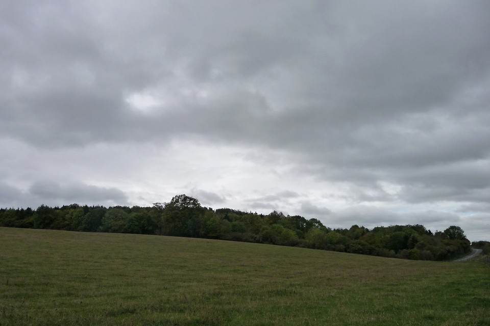
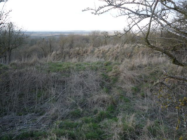
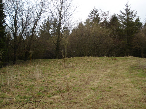
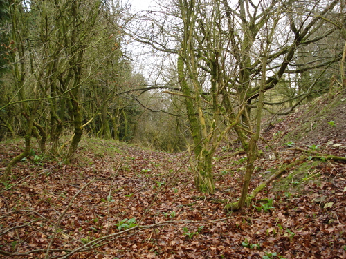
Hardwell Castle or Hardwell Camp is classed as an Iron Age valley fort, although, like nearby Cherbury Camp, it is not clearly in a strategic or easily defended position. It lies halfway down the scarp slope of the White Horse Hills and is tucked away in a curve, invisible from most angles.
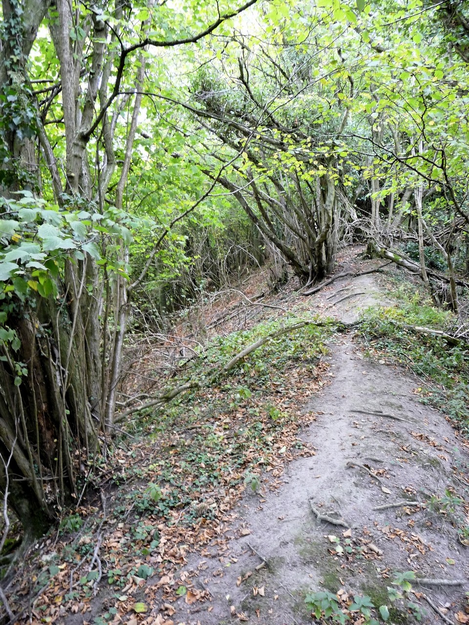
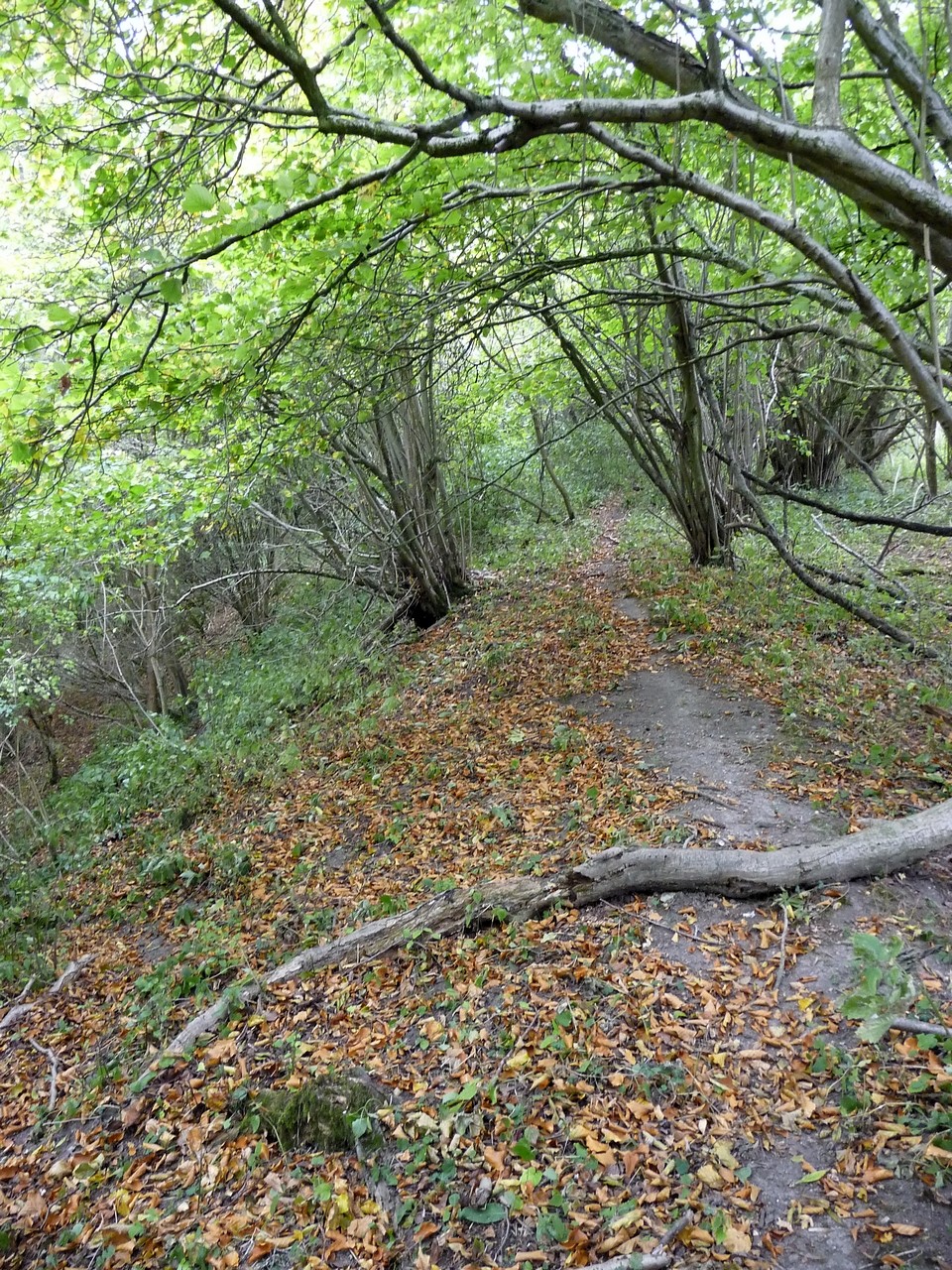
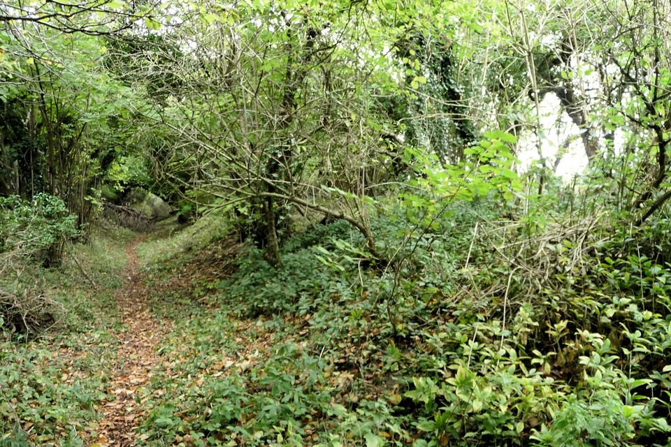
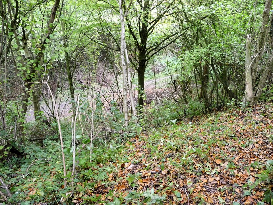
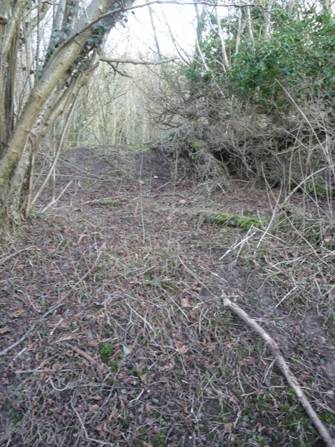
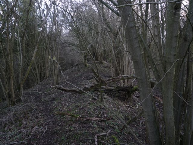
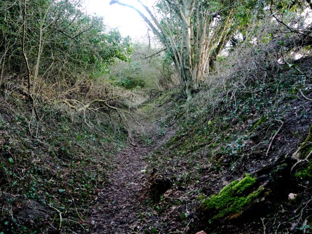
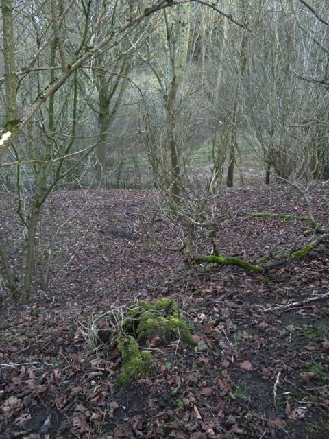
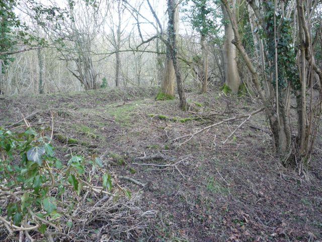
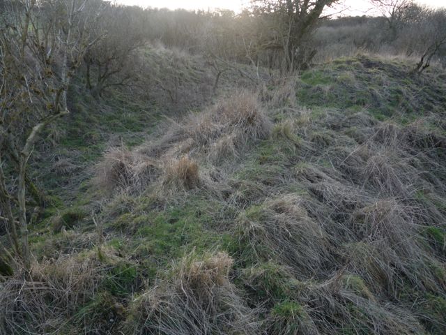
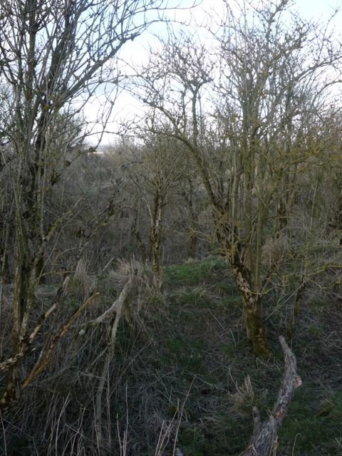
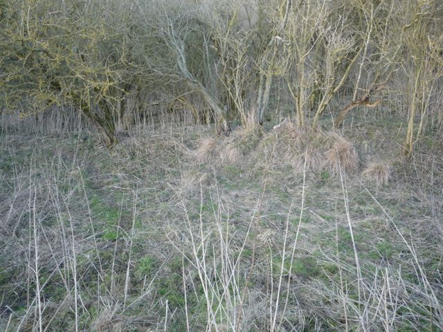
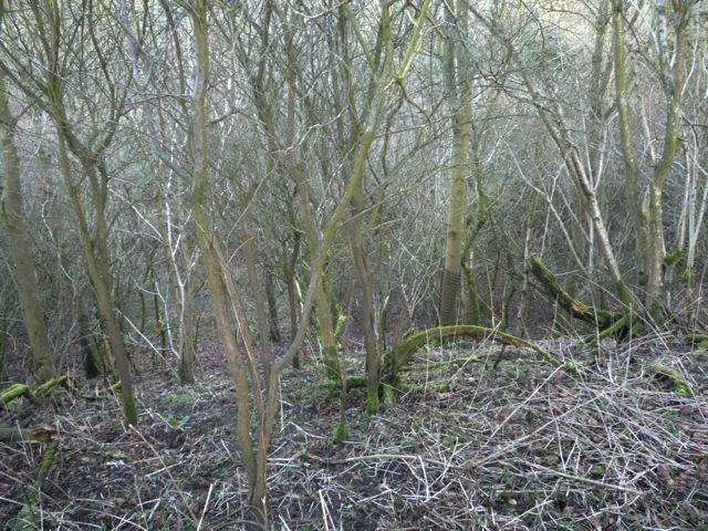
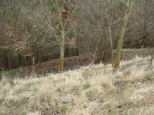
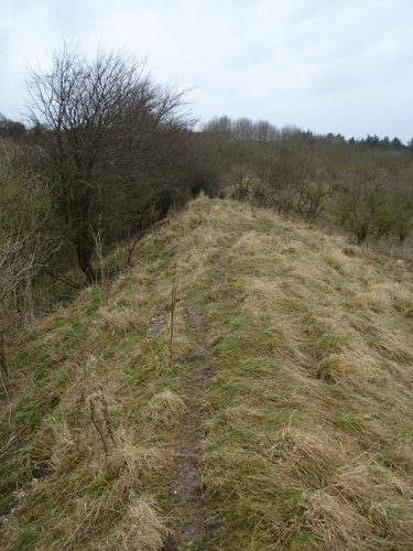
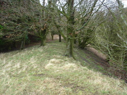
Access to the Camp is through a hole in the fence about 10 m's from the gate on the main road. The northern facing earthworks are completely wooded over but are the most impressive with a ditch and bank up to 7 meters in height with 2 spurs coming off down to the level of the camp entrance. The eastern and western defences are natural gulleys enhanced by man made banks and ditches . The southern earthworks are about 8 ft in height as the inside of the fort is level with the countryside to the south. Well worth a visit but the site is used for pheasant pens so be careful.
How strange that this site, only a kilometre from both Uffington and Wayland's Smithy, has not been added before? Though it's not crossed by a footpath one runs close by. It's an Iron Age promontory fort - it uses mostly the natural contours of the land for protection, unlike most of the forts along the Ridgeway which have big man-made defences.
The neolithic long-barrow on the Berkshire Downs known as Weyland's Smithy is mentioned by that name in a tenth century land charter. Between White Horse Hill and Weyland's Smithy is a prehistoric earthwork now known as Hardwell Camp, but in the ninth century called Tilsburh, that is 'Til's Castle'. Til is the same person as Weyland's brother Egil the Archer (the prototype of William Tell). *
The names of Beadohild and Wittich which also occur in the bounds of local Saxon charters are thought to refer to the princess seduced by Weyland, and his son by her, and there are some other place-names less certainly identifed which could be fitted into the same story.
From: New Light on the White Horse, by Diana Woolner, in Folklore, Vol. 78, No. 2. (Summer, 1967), pp. 90-111.
*Is this a convincing argument or stretching the pronunciation? This article might be useful if you can find it: LV Grinsell's "Wayland's Smithy, Beahhild's Byrigels and Hwittuc's Hlaew" in Trans Newbury and District Field Club VIII, 1938-45, p136, which mentions Beahhild (?Beaduhild) and Hwittuc (?Widia) in local charters of Anglo-Saxon date.

 Posted by Rhiannon
 Posted by stoer