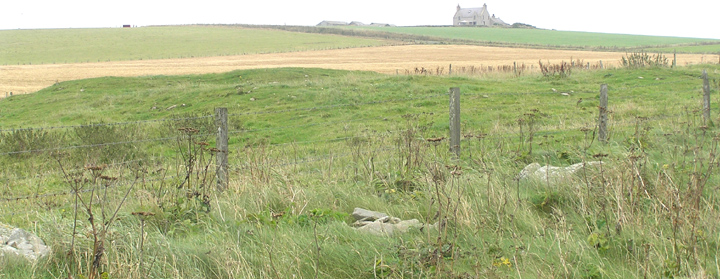
Opposite the Deerness Stores a road goes down to Marwick Bay. On the left are the farm and buildings of Newark, but before you come to this there is a sign for the footpath to Aikerskaill. The grassy path is new since last I was here and is nicely level and broad. Fairly soon you reach two long concrete slabs, laid over the two drystane walls of a bridge through which the 'drain' that skirts the landward side of the broch field comes around and meets the shore. The nearer you come to the mound the bigger and blockier the 'boulders' about the path and along the field edge. Much then obviously material from the site rather than rounded beach stone.
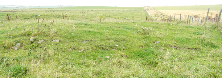
Going by the record the mound should continue into the next field along, though all I see down the other side is a small pond with a very small cone of land sticking out the centre. In the SW corner the barbed wire fence is just moveable enough to climb carefully over, be sure not to leave the lines tangled.
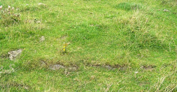
On the southern side is a line of stones that looks like a wall course. But the left half of this looks to be made out of boulders rather than slabs, though I only took a close look at the right as this is a more obvious line of walling and so may have been misled by loose material. Actually I had the feeling I was looking at the remains of structures of two different periods because of the disparate nature of stones over the mound, and most of the Broch Age material had been removed at some stage. Up on the eastern end earth and stones lie exposed and apparently eroding downhill, a few white boulders on the surface (from the broch?) but mostly dark fragments. In one area here I could make out through the grass bits and bobs of three or more courses of walling. These courses as I saw them were only a scant few inches high. Though I read this as an incurving wall, maybe of the inside of the broch or internal furniture, it could have been a stabilised collapsing wall now incorporated within the mound apart fom this outer face.
Quoyburing is, or was, pronounced Quoyburrian (similar name construction to Quoyburray near Round Howe, although the latter is no longer regarded as a broch).
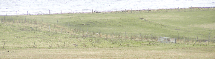
RCAHMS NMRS record no. HY50SE 8 at HY58040402 is a 3m high mound covering a little over half-a-hectare even now, covering a broch and probable outbuildings. In the NW the external ditch can be made out by the eye of faith, as Time Team would say.