The Modern Antiquarian
Log in
|
Register
Home
Latest Posts
Forums
Maps
Help
Browse Sites
News
Blog
Contributors
The Books
Select
-
Belgium
Denmark
Eire
France
Germany
Greece
Italy
The Netherlands
Norway
Portugal
Republic of Malta
Spain
Sweden
Switzerland
United Kingdom
Scotland
Dumfries and Galloway
Colvend
Newbarns South
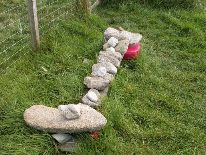
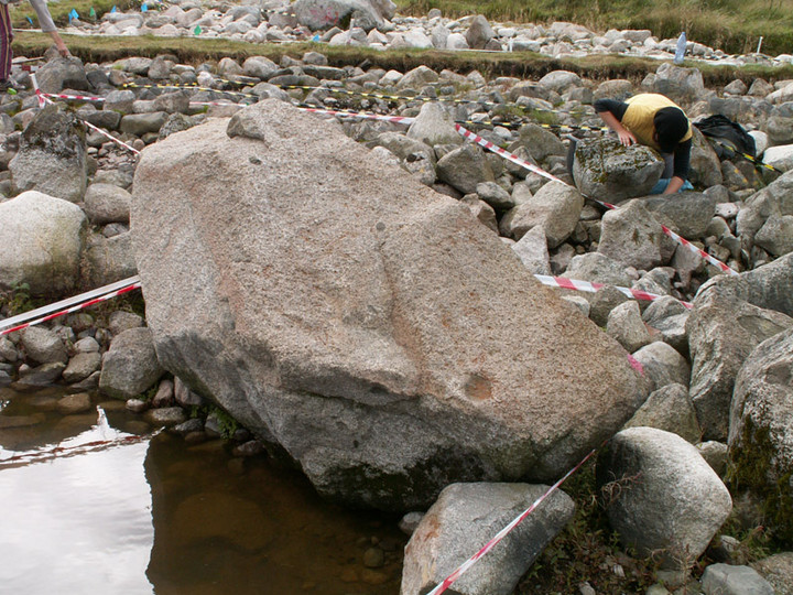
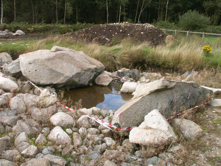
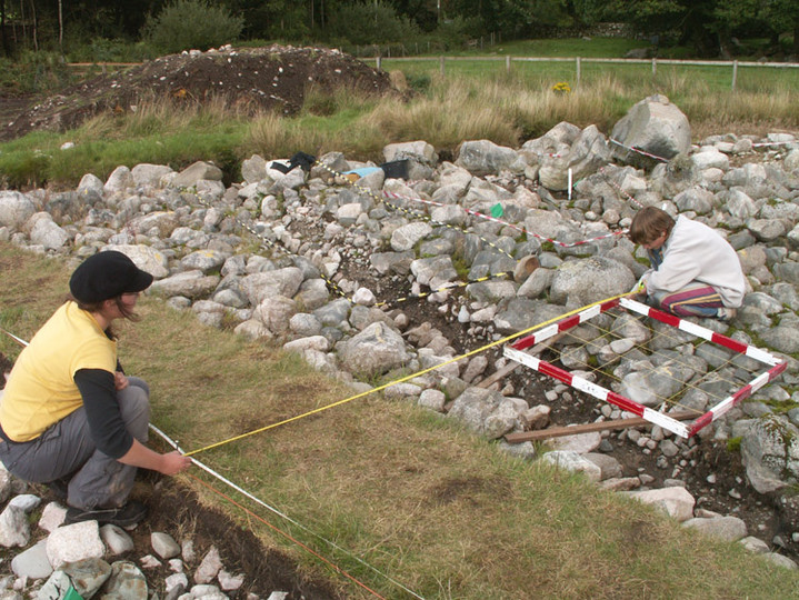
Kerbed Cairn
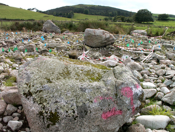
Newbarns South (Kerbed Cairn) on The Modern Antiquarian, the UK & Ireland's most popular megalithic community website. 13 images, plus information on many more ancient sites nearby and across the UK & Ireland.
Image © pebblewolf
Nearest Town:
Dalbeattie (9km NW)
OS Ref (GB):
NX882549 /
Sheet: 84
Latitude:
54° 52' 34.12" N
Longitude:
3° 44' 33.47" W
Added by
rockartwolf
Images (13)
0 discussions
Start a topic
Show |
Hide
Web searches for Newbarns South
Flickr
Google
Google Images
MAGIC
The Megalithic Portal
Bing
Stone Pages
Streetmap.co.uk
Wikipedia
Show map
(inline Google Map)
- Sites within 20 km -
-
Newbarns North (0km N) (15 posts)
Colvend (0km N) (1 post)
Home Farm (6.04km ENE) (5 posts)
Kells Standing Stone (6.25km ENE) (4 posts)
Court Hill (7.11km W) (0 posts)
Slewcairn (7.72km NE) (10 posts)
Slewcairn SW (7.87km NE) (6 posts)
Slewcairn NE (8km NE) (4 posts)
Little Airds Hill (8.69km SW) (0 posts)
Big Airds Hill (9.17km SW) (0 posts)
Redcastle (11.88km WNW) (6 posts)
Torrs Hill (12.39km W) (1 post)
Loch Kindar (12.7km NE) (1 post)
Nether Linkens (13.05km WSW) (9 posts)
White Cairn, Gelston (13.11km W) (4 posts)
Lochhill (13.37km NE) (2 posts)
Ernespie Standing Stones (13.5km WNW) (10 posts)
Carlingwark Loch (13.54km W) (7 posts)
Slagnaw (13.88km W) (3 posts)
Loch Arthur (14.23km N) (1 post)
Lodge Of Kelton Farm (15.04km W) (9 posts)
Newlaw Hill 3 (15.92km WSW) (19 posts)
Newlaw Hill 2 (16.01km WSW) (3 posts)
Newlaw Hill 1 (16.01km WSW) (17 posts)
Bombie 4 (16.39km WSW) (3 posts)
Bombie 3 (16.45km WSW) (9 posts)
Bombie (16.48km WSW) (3 posts)
Bombie 2 (16.58km WSW) (18 posts)
Bombie 1 (16.61km WSW) (5 posts)
Castlecreavie Dun (16.62km WSW) (5 posts)
Castlecreavie (16.62km WSW) (15 posts)
Bombie 5 (16.64km WSW) (0 posts)
Castlecreavie (16.74km WSW) (9 posts)
Milton Loch SE (16.74km NW) (6 posts)
Milton Loch Central (17.11km NW) (6 posts)
Milton Loch (17.12km NW) (2 posts)
Green Island, Milton Loch (17.27km NW) (12 posts)
Milton Loch NW (17.5km NW) (5 posts)
Culdoach (17.5km WSW) (22 posts)
Park of Tongland (17.74km W) (1 post)
Galtway 5 (18km WSW) (6 posts)
Lochrutton Loch (18.14km N) (2 posts)
High Banks (18.25km WSW) (46 posts)
Galtway 7 (18.26km WSW) (2 posts)
Park of Tongland (18.26km W) (9 posts)
Ward Law (18.45km NE) (7 posts)
Galtway (18.5km WSW) (5 posts)
Pict's Knowe henge (18.63km NNE) (19 posts)
Galtway 18 (18.64km WSW) (6 posts)
Easthill (19.33km N) (40 posts)
Milton (19.41km WSW) (89 posts)
High Grange 1 (19.58km WSW) (13 posts)
High Grange 2 (19.71km WSW) (0 posts)
- Add -
-
Add news
Add an image
Add fieldnotes
Add folklore
Add miscellaneous
Add a link
-
Add a site
Add a nearby facility
Add an alternative name/spelling
Images
(click to view fullsize)
Add an image
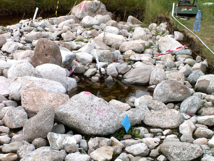
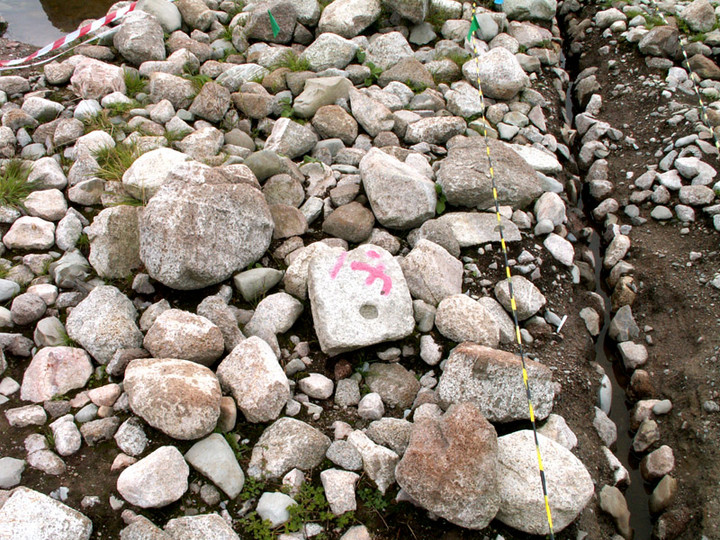
 Image © pebblewolf
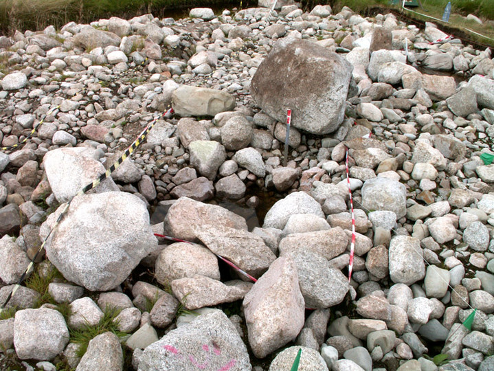
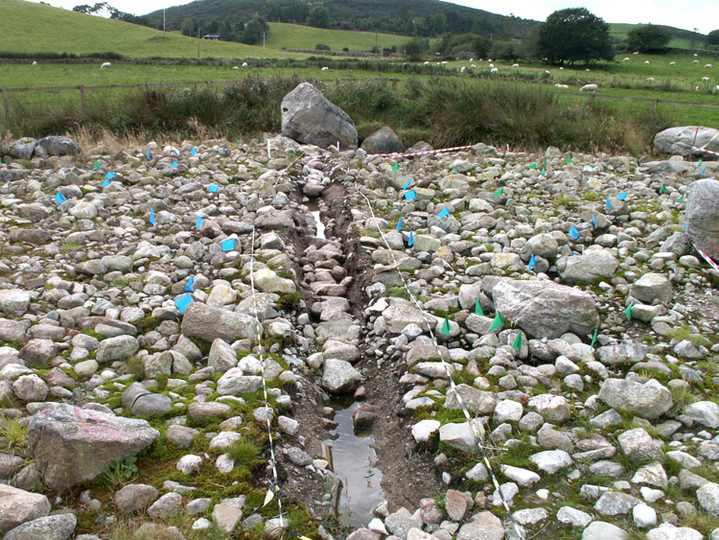