The Modern Antiquarian. Stone Circles, Ancient Sites, Neolithic Monuments, Ancient Monuments, Prehistoric Sites, Megalithic MysteriesThe Modern Antiquarian


Hagworthingham Barrow

Round Barrow(s)

<b>Hagworthingham Barrow</b>Posted by Chris CollyerImage © Chris Collyer
Nearest Town:Horncastle (9km W)
OS Ref (GB):   TF346686 / Sheet: 122
Latitude:53° 11' 49.38" N
Longitude:   0° 0' 54.53" E

Added by Chris Collyer


Discussion Topics0 discussions
Start a topic


Show map   (inline Google Map)

Images (click to view fullsize)

Add an image Add an image
<b>Hagworthingham Barrow</b>Posted by Chris Collyer <b>Hagworthingham Barrow</b>Posted by Chris Collyer

Fieldnotes

Add fieldnotes Add fieldnotes
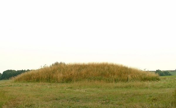
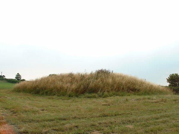
This is a nice barrow in a pleasant spot standing on gently eastward sloping land between 2 tributaries of the River Lymn with some great views of the surrounding countryside. The barrow itself is oval measuring roughly 30 metres by 20 metres (probably the result of plough damage) and stands about a couple of metres tall with a sizeable depression in its top. It is though that this is the result of the barrow being used as the base for a windmill at some time in the past, indeed it is marked on the OS map as 'mill mound'. Chris Collyer Posted by Chris Collyer
28th July 2006ce

Links

Add a link Add a link

stone-circles.org.uk


360 degree panorama from next to the barrow.
Chris Collyer Posted by Chris Collyer
27th July 2006ce