Having crossed over into Deerness take the B9051 (Kirbust road) up to the Yarpha-Keigar crossroads. Turn left onto the minor road heading to Mirkady, and take this to the point at which the farm road begins. On the left is a 'drain', and an old track goes along the far bank to the shore. Here turn left to reach the broch, along the now overgrown track between Braebuster and Mirkady by Eves Loch- if you turn right the next headland along is Hurnip's Point, with a long cairn and two boat nausts. If walking Eves Howe and the mound will already have been obvious..
I took the harder route up the shore from Sandi Sands. Along the way, near Braebuster is a mound thought to be an urisland church. However the broch excavator talks of its being roughly half-a-mile of the fairybuildings (in Orphir there is Fairy Brae near King's Ferry Road), there are buildings by the shore but perhaps ? Very close to where the broch is I came across what seemed at first sight to be another black taing, if rather broad. Coming at it the southern end is formed by a line of stones on edge like the top of some drystane walls. Not to say that this part is man-made, or at least not entirely, but this area encloses a rather rectilinear pool. My suspicion is that a natural feature has been adapted to catch fish - they go in at high tide and then the ebb traps them between the 'walls' (on the 1882 map what may be this appears at HY5479059- or perhaps HY546058).
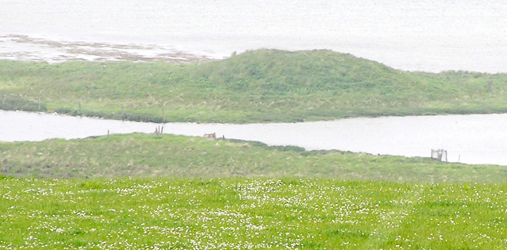
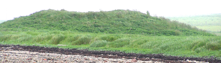
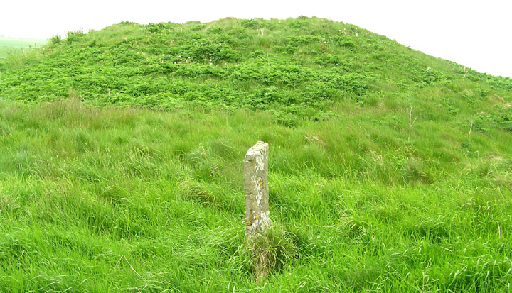
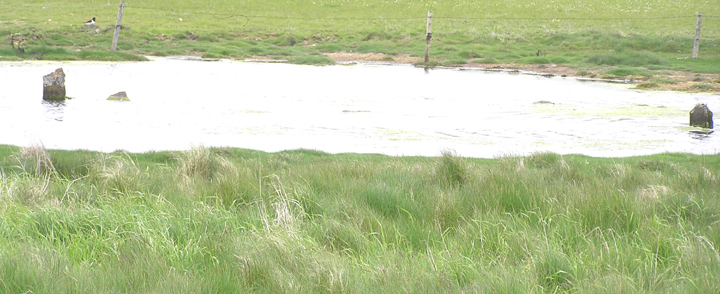
So amazed to to finally reach Eves Howe that I put up with the lack of visible masonry. There were no outworks as far as I can't tell, so for me a small broch tower rather than a nucleated settlement like Lingro or Gurness. Up on top of the mound in the waters I see grassy clumps I take to be the causeway supposedly built not that long before the excavation. Hit upon some stones and cleared the grass off a few without further result. What's left of several 'standing stone fences' all over the place, including a tall one in the northern half of the lochan. Between the latter and the north shore what I took to be the stumps of wooden posts are further stones.
Taking what I've seen into account it seems to me the waters have expanded in more modern times rather than shrunk from a greater expanse as presently asserted (nowadays it presents a pinched appearance, on the 1882 map the lochan only goes as far north as the broch, with the curved tip heading towards it). This would put it on a par with the Loch of Tankerness across the Deer Sound. Similarly the land about is very level. In Tankerness a Bronze Age house with a possible settlement was uncovered on the shore when water-levels dropped nearly a metre during a drought. Perhaps Raymond Lab's putative settlement platform connected with the broch had something to it, though add this to the mix in an Iron Age context instead and you're back to the Loch of Tankerness again with the Howie of The Manse. None of which is to rule out the mound area specifically as encircled by water, as on the seaward side drain-like zigzags were noted, only to say the lochan itself could likely have been much smaller back then.
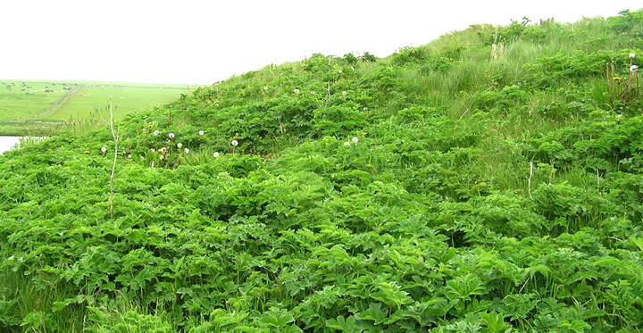
Came down carefully as though there were no tussocks visible my feet kept sinking into the tall lush grass. More of the same by the old track, then flat spongy turf squelching underfoot. I think this is where the lochan formerly went to sea. At the seaward side there is still a short length of wall and a few tall stones perpendicular to one another. It is likely that this used to be a field junction (not shown on the 1882 map even) before Eves Loch doubled in size, the mound marking a field boundary even more closely then.
RCAHMS NMRS record no. HY50NW 14 at HY54900611 is a broch that was investigated literally in one day in 1883. At that time it was 45' across the outside and 15' high, with walls 10' thick and standing equally high (though the entrance wasn't found). Small zig-zagging passages at the north where digging began were 'read' as modern - the site was brlieved to have been surrounded by water originally. Though the inner face was cleared it was decided not to remove the debris from the centre (which, given that it lies between the beach and Eves Loch, bodes good for the preservation of organic materials). Of the three-quarters of the outer circumference excavated then, by 1930 only a few courses in a stretch a few yards long were still exposed (co-incidentally at the north) and now all is basically under turf again. A lamp and a few stone tools have been found. Raymond Lamb in 1987 thought there were traces of a settlement platform at the south-west.