|
|

|
|
Llanmelin WoodHillfort
|
|
|
|
Images (click to view fullsize) |
|
|
Fieldnotes |
|
|
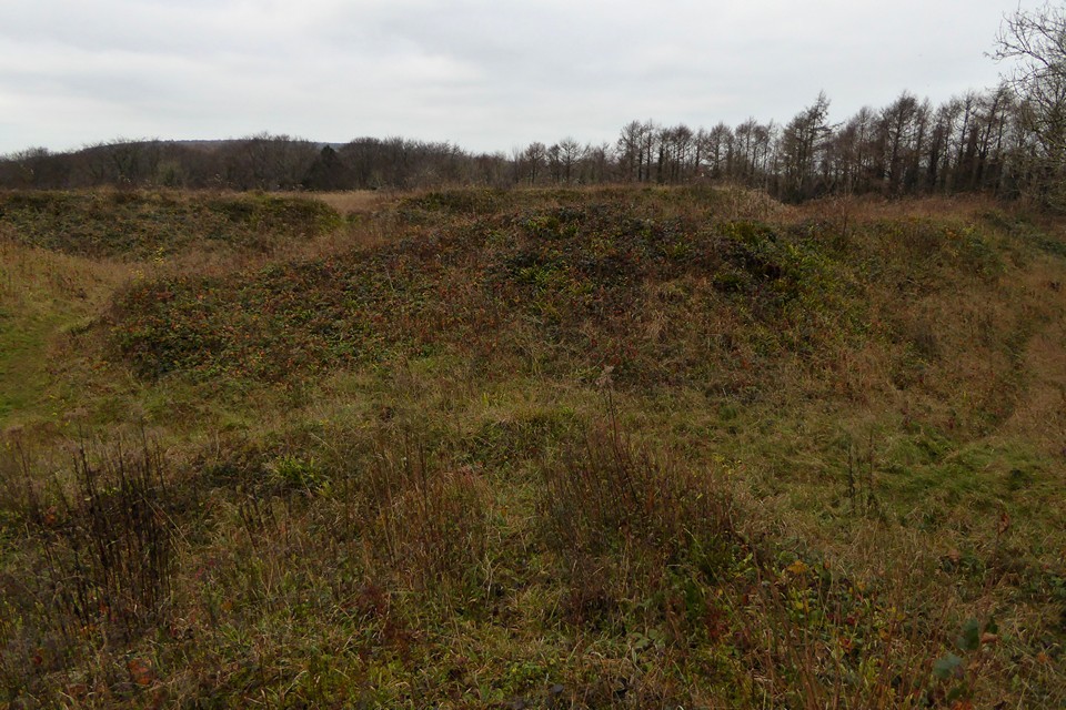
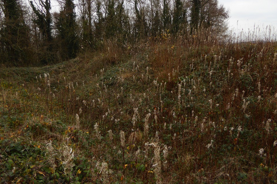
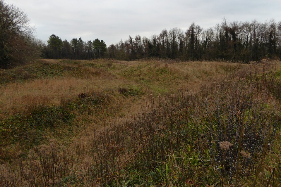
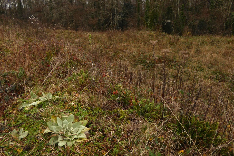
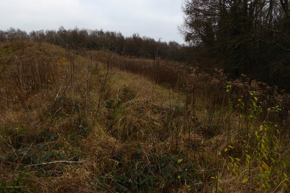
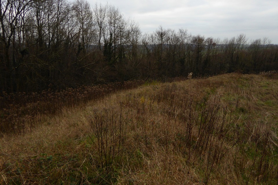
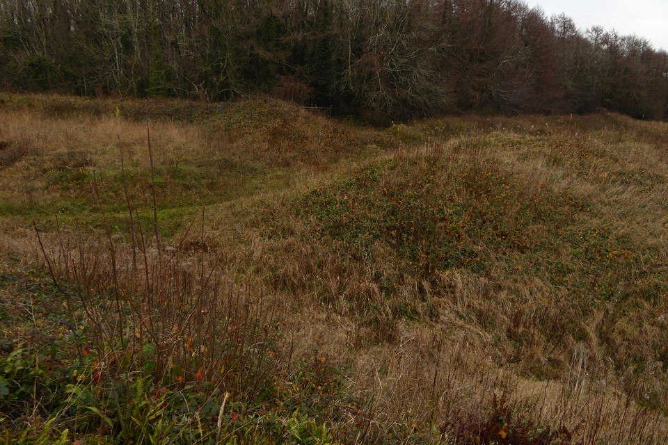
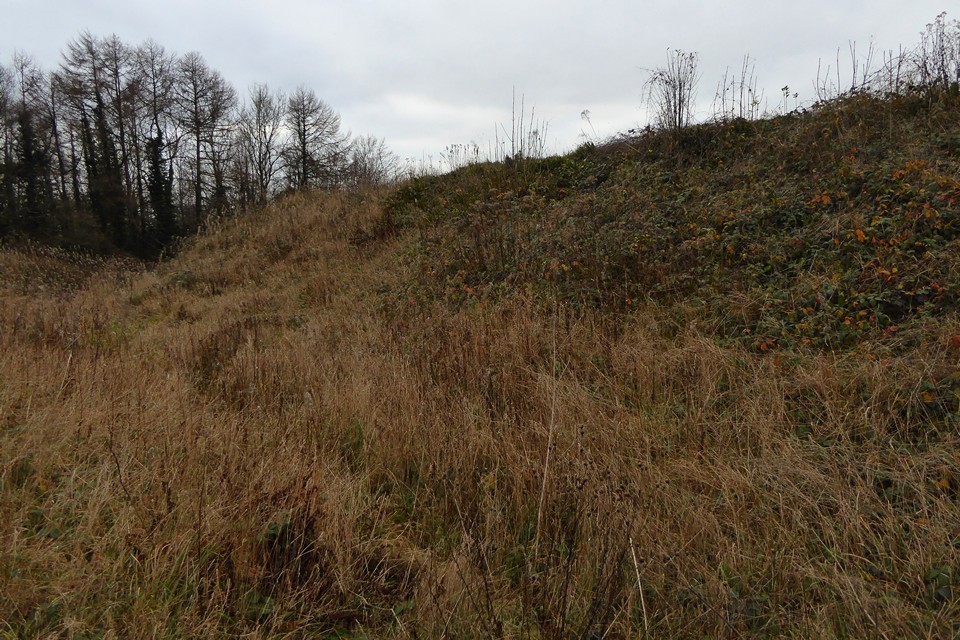
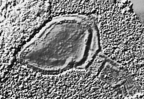
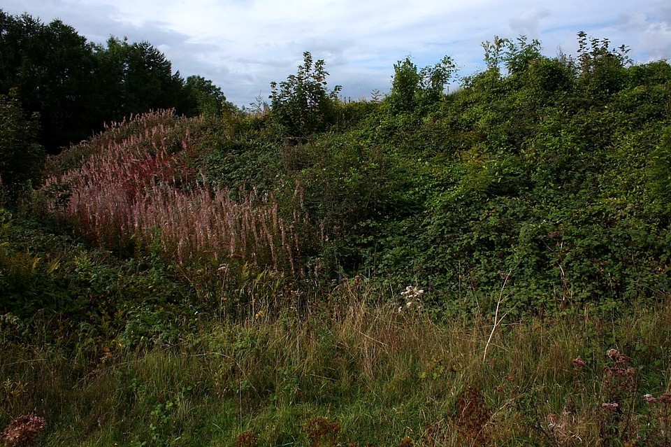
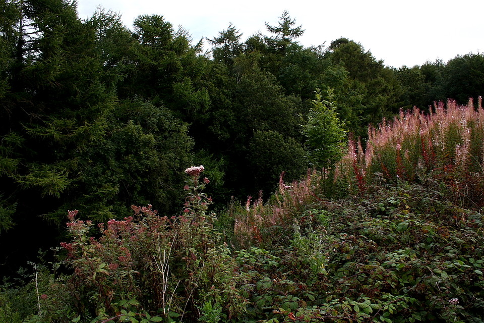
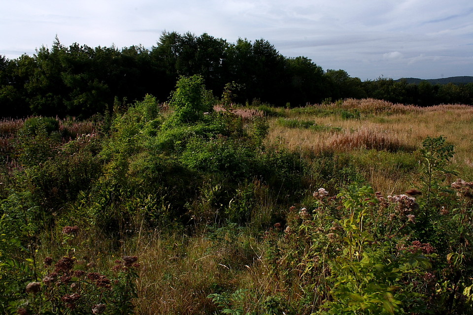
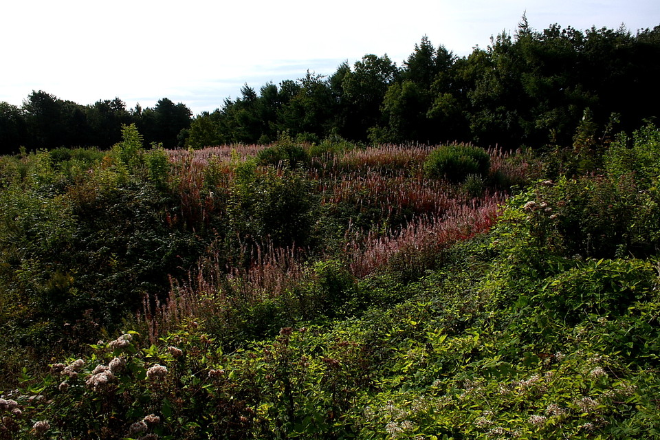
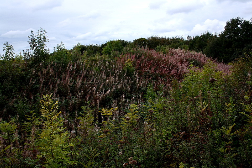
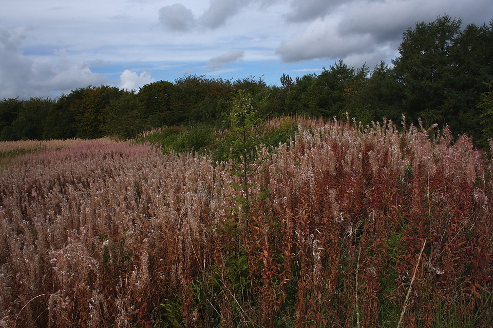
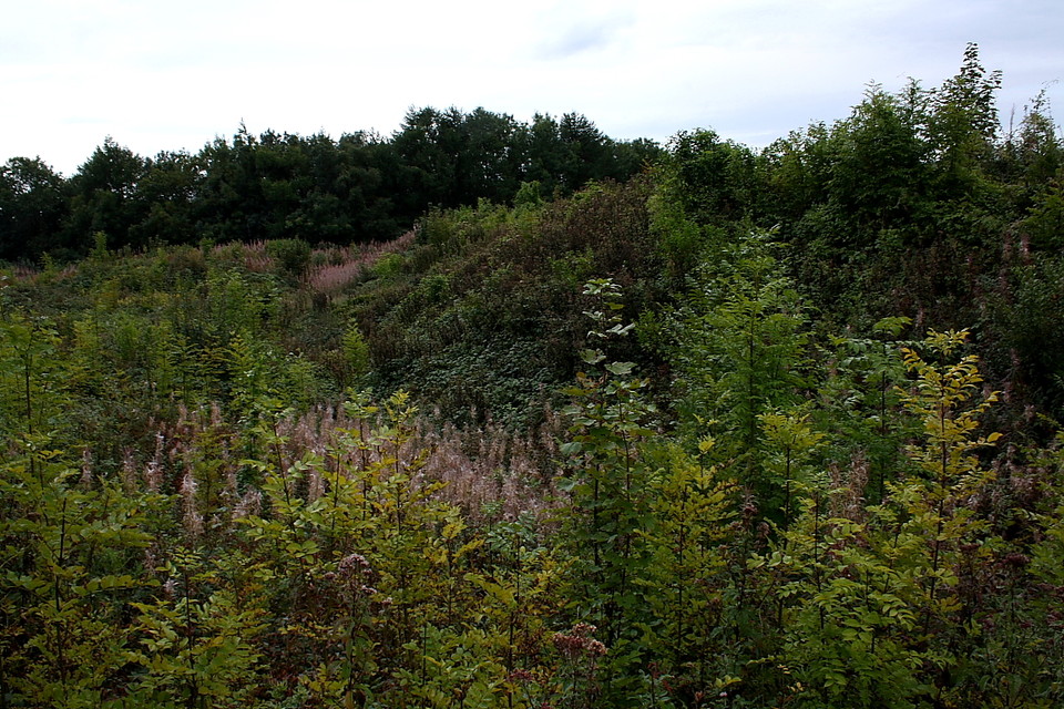
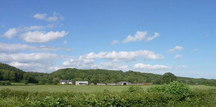
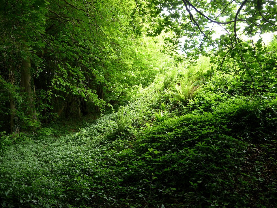
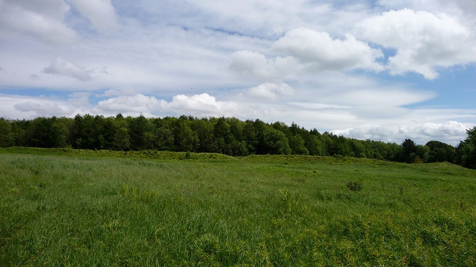
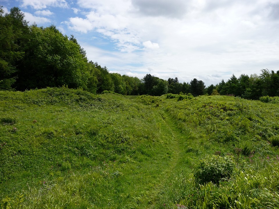
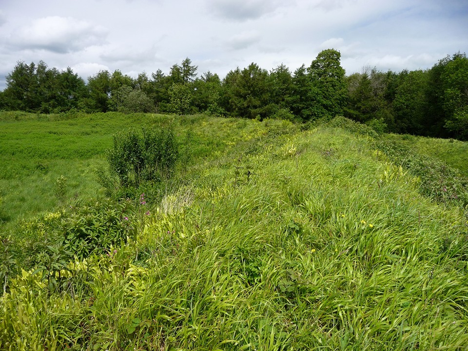
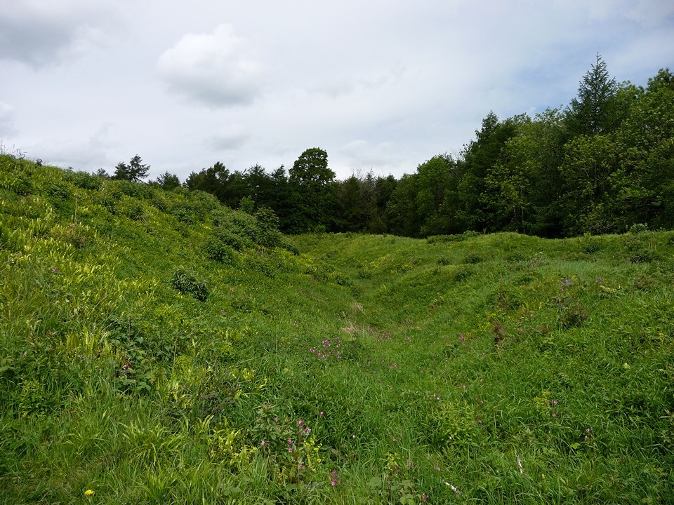
Visited 17.6.14 A lovely sunny day and the chance of a half-day finish from work – result! It has been a few years since I visited this CADW site and I was eager to return. I parked, as before, on the verge near the entrance to Coombe Farm and made my way through the trees opposite. There is a large area to park in the trees but there are CADW warning signs that state you are not allowed to park here as it is private and in use by the farm. Out the other side of the trees and over the wooden field gate. This is where things started to get tricky. The field was full of head high crop (rape I think?) so I skirted around the edge. Unfortunately the edge of the field was choked with chest high nettles – clearly no one had been this way for quite some time. It was difficult to hack my way through the nettles - particularly when wearing shorts – and they got the better of me a couple of times. Luckily there were plenty of dock leaves about! I eventually reached the other side of the field and crossed through the woods. This was not only a lot easier but also a very pretty walk. The sun was shinning through the tree tops and the birds were singing. Once out of the trees I arrived at the field where the hillfort resides. This time of year is not best suited to visiting this site. The hillfort is completely covered in wild grasses which are between waist and chest height. Despite this the banks and ditches are easy to make out; the outer bank is about 3m high (from the bottom of the ditch) whilst the inner bank is about 5m high (from the bottom of the ditch). From the top of the inner ditch you can see across most of the site. Due to the long grass I didn’t bother exploring any further as I doubt I would have been able to see much. You would think that a CADW site (the public are encouraged to visit) would be better maintained than this. Better access is certainly required and a flock of sheep would do wonders to keep the grass down. A few sign posts would help too. Without an O/S map and a knowledge that it was here you would not find this place. I have previously raised these issues with CADW – why advertise / encourage people to visit a CADW site when the average person would never be able to find / access it? Predictably, the reply I had was less than satisfactory. Still, I would recommend a visit by TMAers but best done in the winter months when the grass / nettles / crop wouldn’t be so much of an issue. For most people I would say you would be better off visiting the hillfort at Lodge Wood. Easier to access and a lot more to see. |
Posted by CARL 18th June 2014ce |
| In my quest to visit all 120 CADW sites this was one of the first I visited back in 2007. Difficult to find and an O/S map is vital. Despite being a CADW site there are no sign posts to help. Park as best you can at the entrance to the farm (not much room and the tractors were fast and frequent when I visited). Take the 'path' through the trees oposite the farm entrance and make your way along the right hand side field until you come to a gate. Climb over the gate, through more trees and you come to the hillfort. When I visited in the summer the grass was high and it wasn't easy to spot the defences although they could be made out. Perhaps best visited during the winter months when vegetation is low? - and less tractors about! |
Posted by CARL 9th June 2010ce Edited 9th June 2010ce |
|
Walked up from Llanvair-Discoed (22.5.09). It took a bit of finding - the entrance that is, the hill itself is pretty obvious! Walking along the road leading east from the village, you come to a junction at the picturesque Old Mill, taking the right turn, you start to climb up the hill - at this point I passed an overgrown path going off on the right hand side, but ignored this. Coming to the entrance to Coombe Farm, there is a path going off into the trees on the right. Obscured by vegetation on the left here is a small outlying earthwork. You then come to a gate into a ploughed and cropped field - the OS map shows a single black pecked line (not a right of way), which leads across the field into the wood itself. This had obviously been used by others, as there was a clear line across the field through the crops. I took this "path", which led into the wood. From this point there are nicely maintained gates and stiles, but there's certainly nothing to indicate that the fort is in state guardianship - it's certainly a contrast to the Cotswold hillforts, which are mostly either golf courses or a least low grass. I entered the fort itself from the NE, at a point where a series of parallel earthworks running NW-SE hits the main circular enclosure. It's not clear what purpose these parallel banks and ditches served. The banks are well preserved, although the ditches are choked with vegetation at this time of year. The interior of the main encloure is knee-deep in vegetation, but a great spot as it was totally deserted - I can't remember the last time I visited a state maintained hillfort that showed no signs of anyone visiting at all. The slopes on all sides are wooded, so there is not much of a view, but the sense of peace and quiet was terrific. I spent about 15 minutes sitting in the grass and then went off down to the SW. Here, a steep path scrambles back down in the direction of the road, eventually turning into the overgrown path I had ignored earlier. I still don't know what is the "official" way in, but it's well worth a visit! From here I walked down to Caerwent, with its impressive Roman walls and rather excellent pub. |
 Posted by thesweetcheat
13th July 2009ce |
Miscellaneous |
|
|
Llanmelin fort is run by CADW, so you can visit it (as long as you leave your dog at home). It was excavated in the 1930s, when finds confirmed its Iron Age roots, though it had been used later in medieval times. It may have been the capital of the Silures, before the wretched Romans whupped their behinds and built Caerwent to keep an eye on them, just to the south. The top of the fort has been cleared of trees, as you can see in this photo at 'Gathering the Jewels': http://www.tlysau.org.uk/en/item1/1248 There is also a little outlying defended area to the north-east, by the road at ST 463928. |
 Posted by Rhiannon
13th June 2006ce |
Links |
|
Heritage of Wales NewsNew archaeological survey for Llanmelin Wood Hillfort |
 Posted by moss
24th March 2015ce Edited 24th March 2015ce |