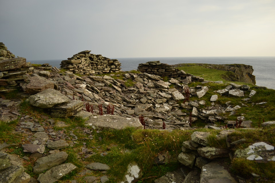
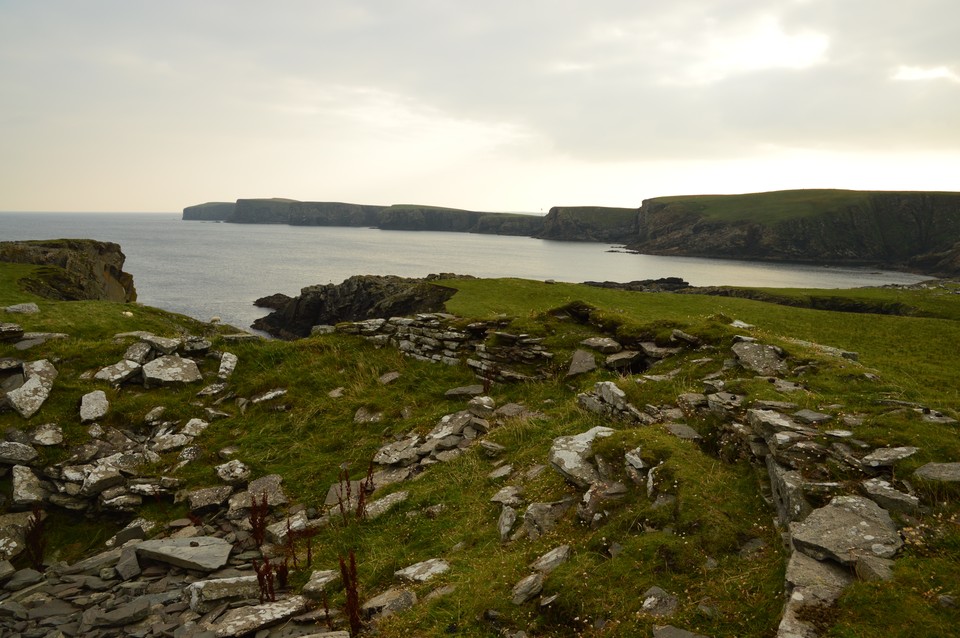
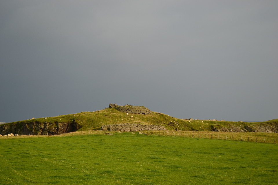
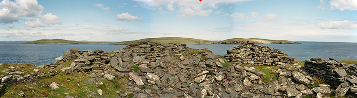
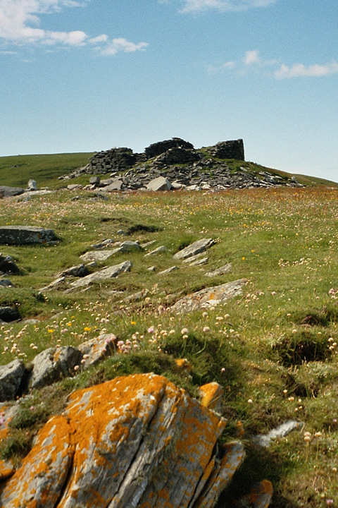
21/09/2014 - Still a little excited by the boat trip to Mousa we decided to have a walk along the coast SE from Sandsayre pier to Burraland broch. Easy walking along a track for about one and a half miles. The views out to sea and of course Mousa are very good. Nice walk if you like sea birds. Diving gannets and nosey bonxies seem to fill the air above the Mousa Sound. The broch has a great position at the end of a little headland. Still a decent amount of wall left but a lot of stone has collapsed into the middle. A nice walk to a nice broch, there are worse ways to spend a couple of hours.
We were there in July 2004. Couldn't fit a Mousa boat trip in our schedule, so under a ridiculously blue sky drove south the A970 to Leebotten (where the Mousa ferry leaves), then further to Sandwick, then taking the small road that leads up to Ward of Burraland hill. At the end there was some space to park the car. Walked back down some 100m then took the first track right to Mousa Sound. Before long the track turned right alongside the sound and onward to some ruins which seemed pretty recent. A bit further was an istmus leading to a mini peninsula named Hoga according to the map. The broch is mainly in ruins, though the double wall can clearly be seen. The floor seems to have collapsed as there's a depression in the centre. Around, there's some evidence of other buildings. The setting is stupendous, the birds, the quiet - Shetland. Got good views of the Mousa Broch. Then suddenly it struck us that there must have been living some pretty advanced folk here. If so many people could have lived here for so long, than, considering it's just as far to Norway as it is to the Faroes, as it is from there to Iceland, from Iceland to Greenland... yep, it is very well possible we thought, that these people actually set foot in the Americas ages before the Iberians...
The only piece of information I readily found was "Mousa broch is smaller in diameter than most, and today there is no sign of any surrounding structures apart from a possible rampart. Across the sound its neighbour, Burraland broch, does have evidence of settlement around it, but awaits further investigation." (from http://www.orkneyshetland.co.uk/shetland/mousa.html) and some stuff that I can't access at http://www.scran.ac.uk/database/results.php?search_term=burraland (Burraland loch is somewhere else; there's a lot of burra on Shetland)
More on our 2004 Shetland stay: http://users.skynet.be/bert_saskia/travel/scotland/northernatlantic/index2.html

 Posted by thelonious
 Posted by Bonzo the Cat