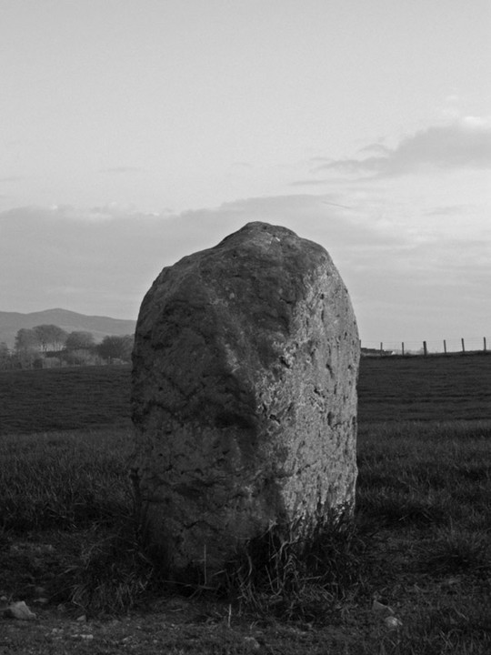
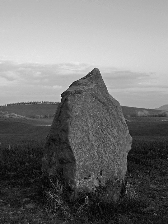
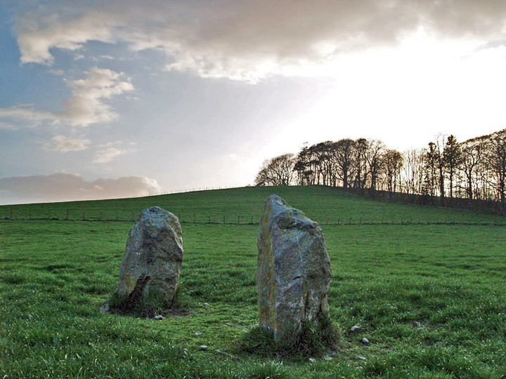
Log in
|
Register
Home
Latest Posts
Forums
Maps
Help
Browse Sites
News
Blog
Contributors
The Books
Select
-
Belgium
Denmark
Eire
France
Greece
Italy
The Netherlands
Norway
Portugal
Republic of Malta
Spain
Sweden
Switzerland
United Kingdom
Scotland
Dumfries and Galloway
Ernespie Standing Stones
Standing Stones
Ernespie Standing Stones (Erne Hill) (Standing Stones) on The Modern Antiquarian, the UK & Ireland's most popular megalithic community website. 8 images, plus information on many more ancient sites nearby and across the UK & Ireland.
Image © pebblewolf
Also known as:
Erne Hill
Nearest Town:
Castle Douglas (2km SW)
OS Ref (GB):
NX775632 /
Sheet: 84
Latitude:
54° 56' 53.48" N
Longitude:
3° 54' 46.25" W
Added by
rockartwolf
Images (8)
0 discussions
Start a topic
Show |
Hide
Web searches for Ernespie Standing Stones
Flash Earth
Flickr
Google
Google Images
MAGIC
The Megalithic Portal
Bing
Stone Pages
Streetmap.co.uk
Wikipedia
Show map
(inline Google Map)
- Sites within 20 km -
-
Torrs Hill (1.69km SSE) (1 post)
Fir Island and Ash Island (1.72km SW) (1 post)
Lodge Of Kelton Farm (3.79km SW) (9 posts)
Slagnaw (5.24km SSW) (3 posts)
Redcastle (5.31km ENE) (0 posts)
Nether Linkens (8.91km SSW) (9 posts)
Park of Tongland (9.46km SW) (1 post)
Park of Tongland (10.44km SW) (7 posts)
Milton Loch (10.46km NE) (2 posts)
Culdoach (12.6km SW) (21 posts)
Glengap House (12.89km WSW) (1 post)
Newbarns South (13.5km ESE) (13 posts)
Newbarns North (13.5km ESE) (15 posts)
Colvend (13.5km ESE) (1 post)
Loch Arthur (14.01km ENE) (1 post)
Bombie 2 (14.16km SSW) (18 posts)
Bombie 1 (14.25km SSW) (5 posts)
Bombie 3 (14.28km SSW) (9 posts)
Bombie 4 (14.34km SSW) (3 posts)
Bombie 5 (14.35km SSW) (0 posts)
Bombie (14.37km SSW) (2 posts)
Newlaw Hill 3 (14.85km SSW) (18 posts)
Castlecreavie (14.87km SSW) (1 post)
Newlaw Hill 2 (14.88km SSW) (3 posts)
Newlaw Hill 1 (14.88km SSW) (15 posts)
Slewcairn (14.95km E) (9 posts)
Castlecreavie Dun (15km SSW) (5 posts)
Castlecreavie (15km SSW) (15 posts)
Big Airds Hill (15.08km SE) (0 posts)
Little Airds Hill (15.17km SE) (0 posts)
Lochrutton Loch (15.68km NE) (1 post)
Galtway 5 (15.69km SSW) (6 posts)
High Banks (15.72km SSW) (39 posts)
Galtway 7 (15.95km SSW) (2 posts)
Galtway (15.99km SSW) (2 posts)
Galtway 18 (16.35km SSW) (6 posts)
The Doons (16.58km NE) (2 posts)
High Grange 1 (17.37km SSW) (13 posts)
High Grange 2 (17.5km SSW) (0 posts)
Milton (17.65km SSW) (88 posts)
Townhead (17.86km SSW) (45 posts)
Easthill (17.89km NE) (19 posts)
Grange 3 (17.91km SSW) (11 posts)
Grange 2 (18.06km SSW) (3 posts)
Grange 1 (18.26km SSW) (3 posts)
Auchenhay (18.32km SW) (2 posts)
Blackhill Cottage (18.48km SSW) (4 posts)
Harper's Hill (18.69km WSW) (10 posts)
Dunrod (18.94km SSW) (2 posts)
Beacon Hill (19.12km NE) (3 posts)
Drummore (19.33km SSW) (3 posts)
Loch Kindar (19.35km ENE) (1 post)
Lochhill (19.42km ENE) (2 posts)
Drummore Castle (19.51km SSW) (0 posts)
Torrs 1 & 2 (19.65km SSW) (12 posts)
Knockshinnie (19.86km SSW) (10 posts)
Trusty's Hill (19.88km WSW) (11 posts)
- Add -
-
Add news
Add an image
Add fieldnotes
Add folklore
Add miscellaneous
Add a link
-
Add a site
Add a nearby facility
Add an alternative name/spelling
Images
(click to view fullsize)
Add an image
Photographs:
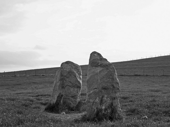
Artistic / Interpretive:
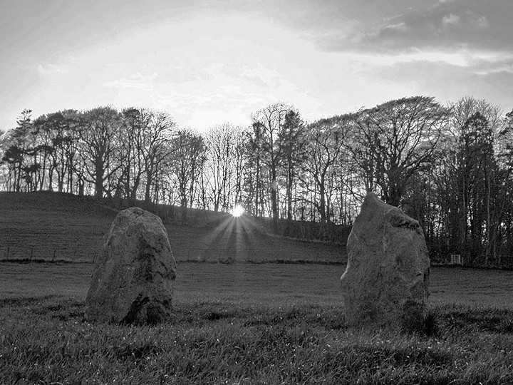