Visited 06.11.11
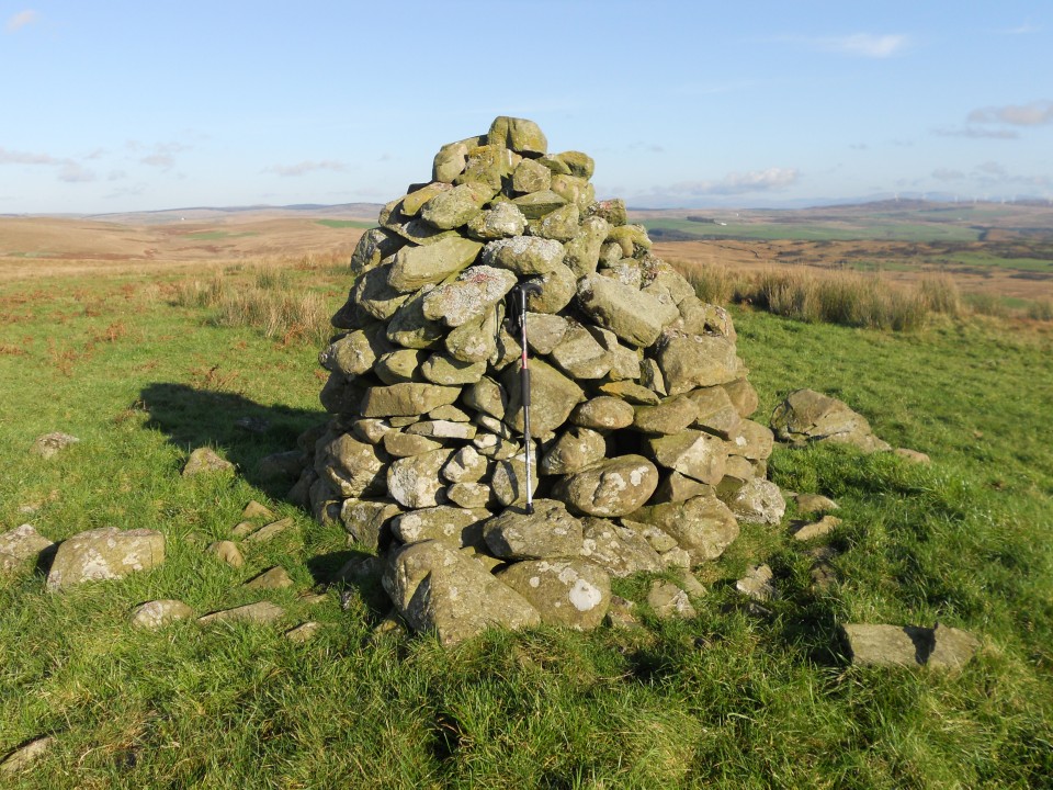
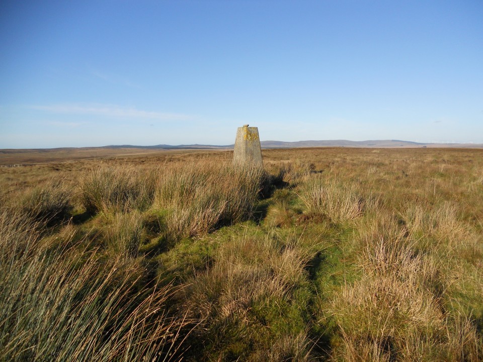
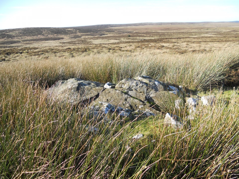
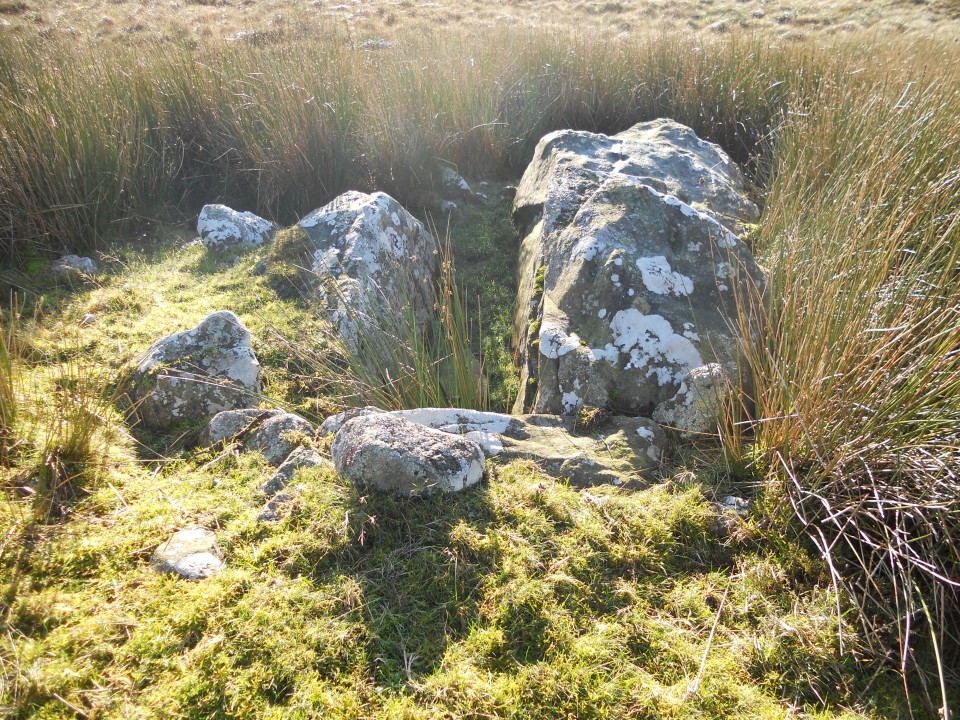
I parked at the Auchmantle farm on the minor road from Castle Kennedy to New Luce. The Glentirrow Stones are 500m W of this location. I headed N from Glentirrow Stones over bleak moorland towards a distant stone cairn. The summit of Cairnharrow lies 1.5k NW of the cairn over rough ground. Cairnscarrow Trig Point is at NX 13626 64802. There is a clear path bearing NNW from here. Follow it for c. 200m straight to Auld Wife's Grave. The OS position is NX 1355 6497 on the Landranger map. Retrace your path to return. This is a walk for a good dry day because of visibility and going underfoot. The total distance covered was around 8km (5 miles).
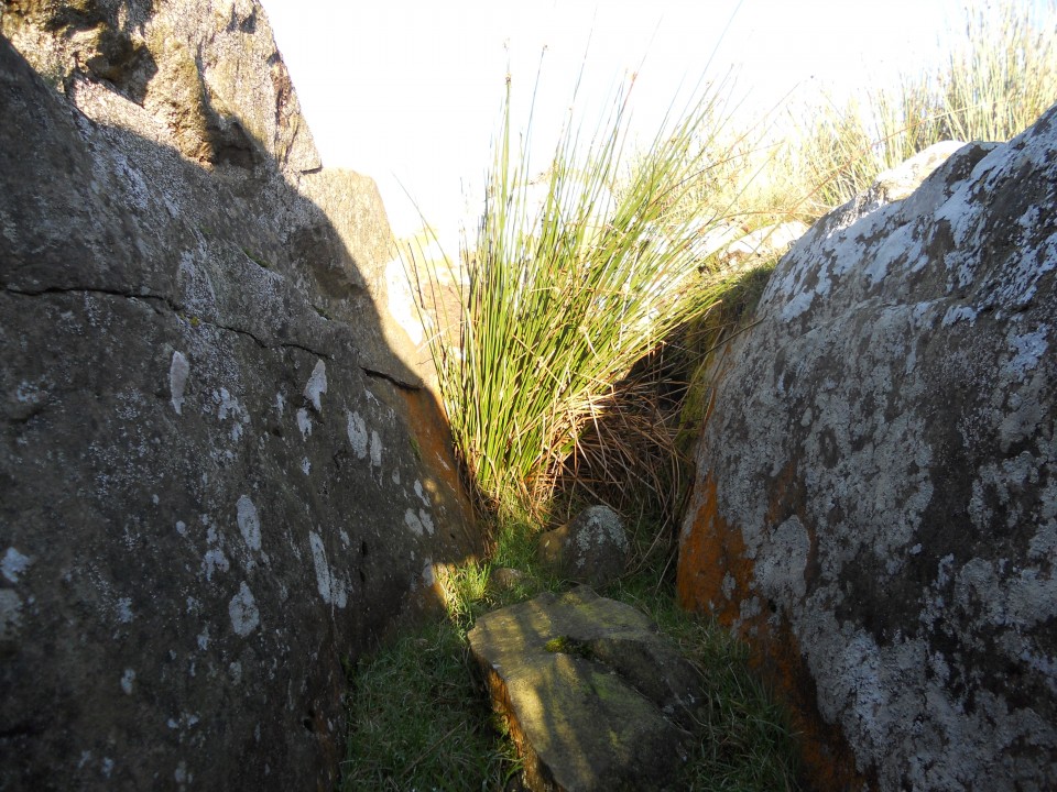
Canmore ID 61688 (go to Links) suggests that the cairn's chamber may been created from a natural rock formation.