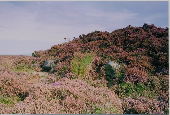
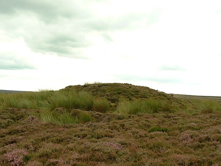
The Flat Howes are a pair of round barrows on Black Brow, Sleights Moor. The barrows are just a ten minute walk across open heather moorland from the High Bride Stones.
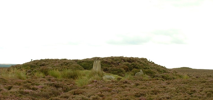
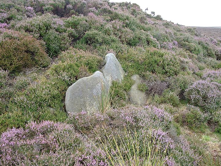
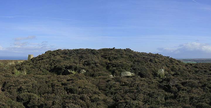
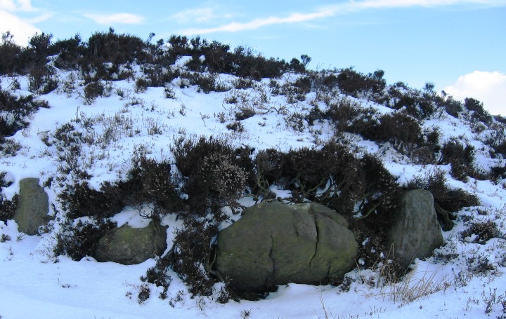
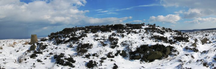
The Howes are pretty typical examples of large North York Moors monuments. The northern barrow is slightly more interesting as it still has quite a few kerb stones still in situ. They are worth a look but are nothing too remarkable, until you consider two things.
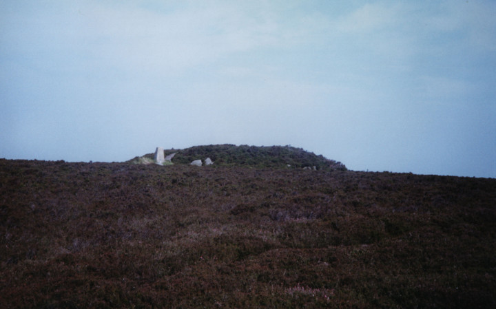
Firstly, the views.
The views are stunning, you can see for almost the full length of the Esk Valley, from the coast in the east to Kildale and the source of the Esk in the west. The view also takes in all of the prominent prehistoric coastal features from Street House to Brow Moor and beyond. The view from the barrows also looks back over the vast expanse of moorland as far as the distant Tabular Hills. I have no doubts that this site was very carefully chosen by the prehistoric peoples of this area.
The second thing to consider is, that the Flat Howes mark the beginning of a chain of large moorland barrows which run across a high ridge for eight to ten miles.
A number of archaeologists have suggested that this and other moorland barrow chains may have formed the boundaries of specific moorland territories and it's worth noting that part of this chain still forms a political boundary.
The barrows in this particular chain are Flat Howes, the Pen Howes, Breckon Howe, Sil Howe, Flass Brow, Robbed Howe, the Foster Howes, Ann Howe, Louven Howe, Lilla Howe, and the High and Low Woof Howes.
The Great Frank Elgee observed "the line then continues along Maw Rigg to another large barrow group". He also noted that "the line skilfully picks its way through some very wet moorland. It is noticeable that the groups do not occur in this area but come in on its outskirts, where drier strata form the surface on Sleights Moor and Allon Tops and on Thompson's and Maw Riggs."
In my view, this chain could be almost considered as one single huge landscape feature. Once you are aware of the alignment it becomes very obvious. Don't take my word for it, the area is very accessible by road. Get yourself there and check it out

 Posted by fitzcoraldo