This site is of disputed antiquity. If you have any information that could help clarify this site's authenticity, please post below or leave a post in the forum.
Visited 14.8.10
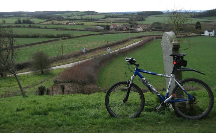
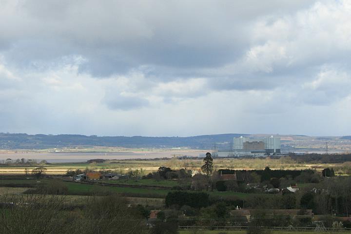
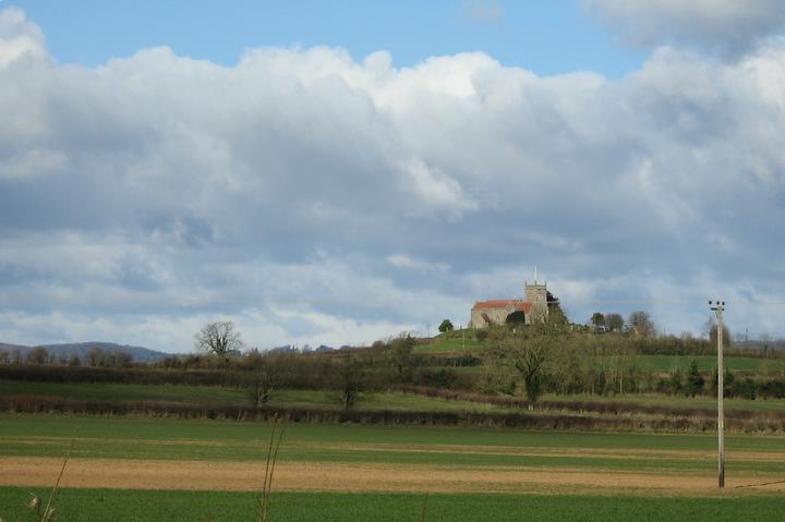
Wow, what great views along the river Severn!
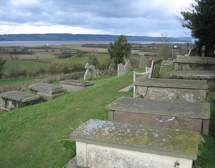
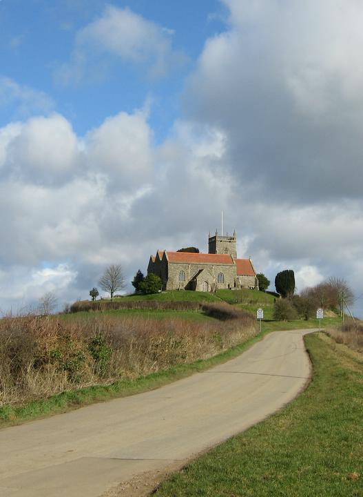
Parking is easy next to the church (there was a wedding going on when I visited so I stayed outside the church!) and a footpath takes you to the top of the hill. The views really are fab with plenty of benches so sit and admire. This place simply 'feels' right for having some sort of prehistoric signifigance or other. Well worth a visit. There are several Grade 2 listed graves in the churchyard.
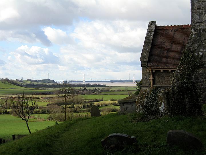
The tumulus on which the Church stands is of uncertain date and may have pre-Christian pagan associations. There is an Iron-age settlement in the village 0.5 mile to the north, and Roman coins have been found here in the churchyard. The chancel stands about central on the tumulus, with the tower alongside on the highest ground. Formerly many fine elms grew around the perimeter, these unfortunately all became victims of the Dutch elm desease.
According to the South Gloucestershire SMR, here http://ads.ahds.ac.uk/catalogue/search/fr.cfm?rcn=SGLOSSMR-SG2335
a large stone used to stand somewhere between here and the Toots fort. In the 1950s it was seen lying across a small stream (somewhere near ST611923) but when it was sought for in 1982 it was not located, and the owner of the land had never heard of it. Not that that means anything. How can you lose a stone 8ftx2ftx1ft? Can it still be about?
Archsearch lists the site as SMR SG2332 at ST60859191, an artificial conical mound of possibly BA date that has possibly had the top levelled for a Roman camp or pre-AngloSaxon churchyard, and is connected to The Toots camp (SMR SG1568) by an ancient trackway. A dating minefield apart from R*man material from the graveyard.

 Posted by Ike
 Posted by Rhiannon