This site is of disputed antiquity. If you have any information that could help clarify this site's authenticity, please post below or leave a post in the forum.
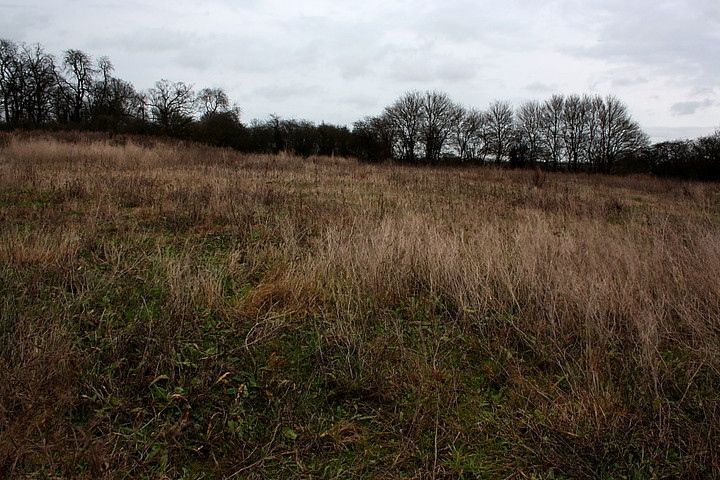
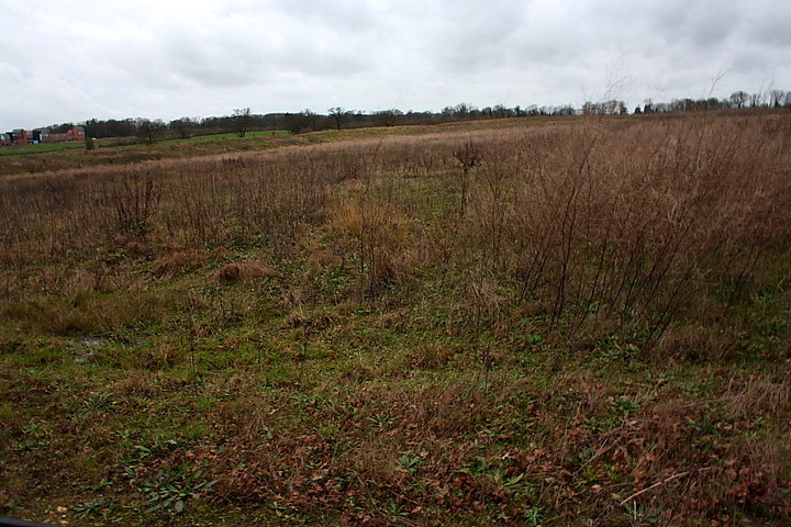
Wandering down for a quick look whilst visiting the impressive Old Harlow round barrow on New Year's Day....well, it'd be rude not to... I'm sad to relate there is as 'unvibey' a feeling upon this waste ground as you might find behind a block of flats on a council estate in London. To be honest, the clearly relatively recent 'landscaping / contouring' makes the traveller think 'surely not?' at the outset.
Unfortunately it appears that Essex HER agree, an opinion based upon some solid fieldwork, however. To quote SMR 7268:
'Site de-scheduled October 2008 as no longer regarded as a cursus.Field survey and trial trenching was completed in order to evaluate the impact of unauthorised re-contouring groundworks upon it. This archaeological work was undertaken by the Essex County Council Field Archaeology Unit at the request of English Heritage. It consisted of a site walk-over inspection, collection of spot height data and the excavation of trenches across the plotted position of the cropmark and the area to its immediate west. The principal objectives of the work were to establish the presence of the cursus monument and to assess the extent of any damage which may have been caused to it.
The archaeological fieldwork identified the presence of prehistoric and Early Saxon remains,but no trace of the putative cursus. It also established that there had been relatively little deep and extensive truncation of archaeological remains across the majority of the scheduled area, and that the groundworks had largely comprised the removal and the stockpiling of topsoil. However, general compaction, disturbance and rutting caused by the movement of heavy plant were observed on the exposed surface that is likely to have had an adverse impact upon below-ground remains present. It is concluded that the cursus had never been present and that the linear 'cropmark' features evident on aerial photographs, from which it is was identified, are more likely to have been modern-day tracks, footpaths or other wear marks on the field surface.'
So, in all probability not a cursus, then? Curses! However note the stated presence of 'prehistoric' remains..... so something WAS going on here, near the barrow, in ancient times. But what? As usual we clear up one mystery - albeit unsatisfactorily from a TMA point of view - and create another. Right on!
This neolithic cursus is very close to a bronze age barrow. It's only visible as a crop mark now - the long ditches on either side show up. It's situated on level high ground that overlooks the River Stort valley to the north.
One imagines the cursus was still noticeable when the barrow was constructed? Or perhaps not? Perhaps the close siting is just due to a continuation of the use of the land... (and Harlow could be named after the round barrow itself, a hlaew). It's interesting anyway. The public footpath crosses the eastern end of the cursus, should you try to work out where it is.

 Posted by GLADMAN
 Posted by Rhiannon