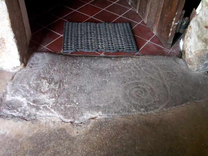
Hollows Tower
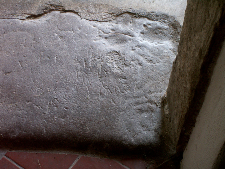
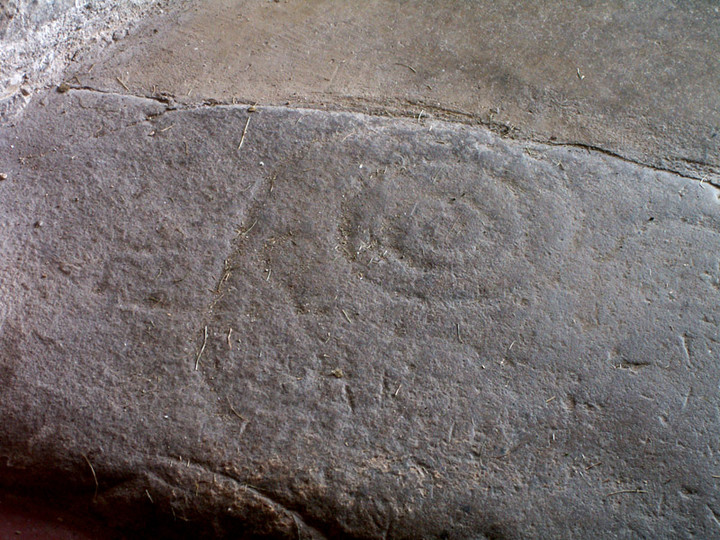
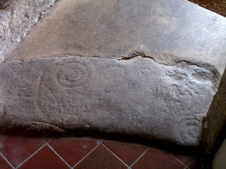
Cup and Ring Marks / Rock Art
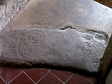 Image © pebblewolf Image © pebblewolf
|
Also known as:- Gilnockie Tower
- Dead Stone
| Nearest Town: | | Langholm (7km NW) | | OS Ref (GB): | | NY382786 / Sheet: 85 | | Latitude: | | 55° 5' 52.03" N | | Longitude: | | 2° 58' 6.84" W |
|
|
Web searches for Hollows Tower
|
|
Gilnockie Tower on BRAC
|
Posted by markj99
9th January 2021ce
|

|

 Maps / Plans / Diagrams:
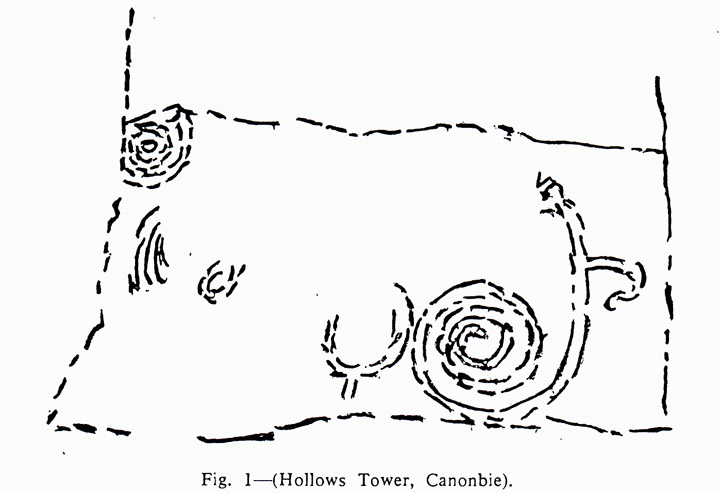
 Posted by rockartuk