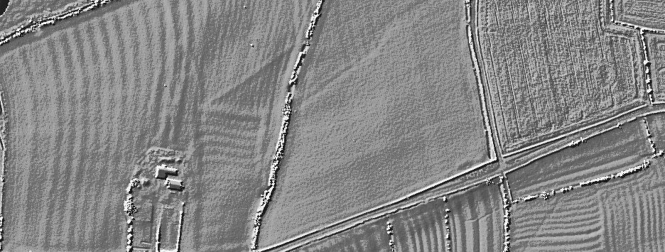
A Neolithic cursus monument visible as the cropmark traces of two parallel ditches circa 40 metres apart and running roughly south-south-west to east-north-east.
The site was first trenched in 1967, and further survey and excavation has occurred since the late 1980s. The cursus has been traced for a distance of at least 1560 metres, lying near the edge of the flood-plain of the Trent. Excavations in 1994-5 in advance of work on a bypass recovered Peterborough Ware sherds close to the bottom of the southern cursus ditch.
Charred organic remains were also present, from which radiocarbon dates are to be sought. The excavations also uncovered a causeway between 10.5 and 19 metres in length through the northern ditch. Within this casueway were a cluster of short linear features and a post hole, all presumably evidence for controlling access into the monument.
Another break in the northern ditch was shown to have been created to accommodate the course of a stream, which still runs through it. The 1994-5 excavations also confirmed that the 1969 excavations had in fact found a series of natural features which were mistakenly interpreted as representing the cursus ditches.

 Posted by juamei